Gauge Conditions
Runnable: ? – ? CFS
Approximate - nearest available gauge. Use as general reference only.
Data from American Whitewater & USGS
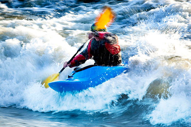
Photo
Photo courtesy of American Whitewater
Description
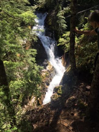
Take Out rapid offers a straightforward descent with minimal technical challenges, serving primarily as an exit point for paddlers completing the White Deer Creek run. The rapid features a gradual gradient and relatively clean water flow, though paddlers should remain alert for potential submerged obstacles near the takeout point. No significant hazards are noted, but standard river safety practices should be observed when navigating this section.
Location
Other Rapids on This Run (2)
View Full Run
Forest Road to Forest Highway 360 (4.26 miles)
White Deer Creek
I-II(IV)
4.4 mi
Current Conditions
5-Day Forecast
Whitewater data from
American Whitewater
American Whitewater