Gauge Conditions
Runnable: ? – ? CFS
Approximate - nearest available gauge. Use as general reference only.
Data from American Whitewater & USGS
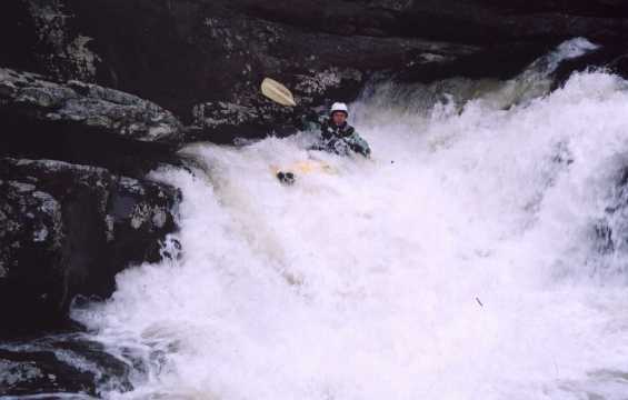
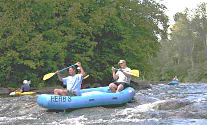
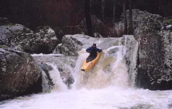
Photo
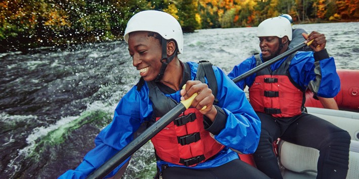
Photo courtesy of American Whitewater
Description
Take Out rapid presents a straightforward but potentially technical passage through a narrow channel with multiple mid-stream boulder obstacles that require precise boat positioning. Paddlers should be prepared to make quick directional adjustments and maintain momentum to avoid potential pin hazards in the constricted flow, with the primary line running close to the river right bank to minimize rock interaction.
Location
Other Rapids on This Run (5)

View Full Run
Galens Road to Hwy 14 (6.4 miles)
Wolf Bayou
II-IV
6.2 mi
Current Conditions
5-Day Forecast
Whitewater data from
American Whitewater
American Whitewater