How's Your
River
×
Explore
Explore Map
Water Bodies
Gauges
Access Sites
Tidal Stations
Whitewater
Pricing
Login
Sign Up
Hazard Warning:
Hazard information may be user-submitted and unverified. Conditions change frequently. Always scout rapids and obstacles yourself.
Whitewater
New Hampshire
Wild - Hastings to Gilead
Take Out
Take-out
NH
Class II
Take Out
Wild - Hastings to Gilead (NH)
Monitor this Rapid
Water Body
This Run
Map
Other Rapids
Gauge
Weather
Directions
Gauge Conditions
Wild River at Gilead, Maine
Downstream
Primary
Runnable: 4.5 – 8.0 FT
Data from
American Whitewater
&
USGS
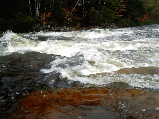
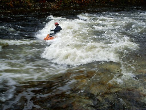
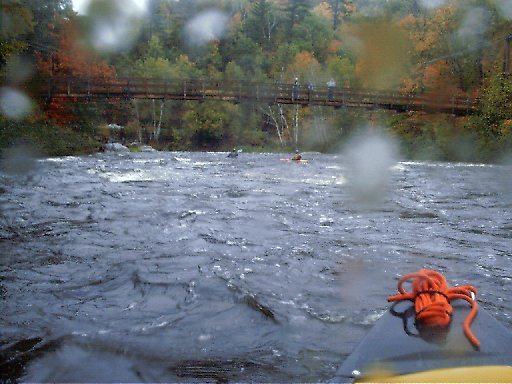
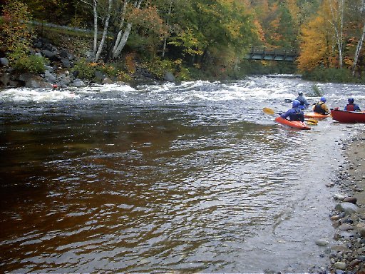
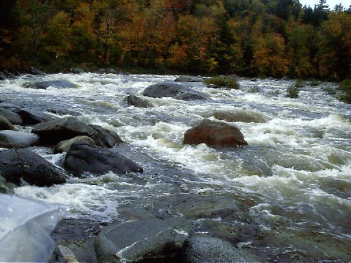
Photo
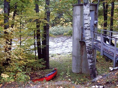
Photo courtesy of
American Whitewater
Description
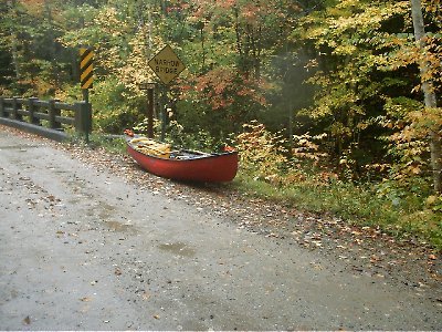
The take-out is by the gage where Route 113 meets Route 2.
Location
Radar
Counties
Cell
Verizon
AT&T
T-Mobile
Dark
Satellite
Terrain
Other Rapids on This Run (6)
Rapid
Put in
0.0 mi
Rapid
III+
Second Major Drop
1.1 mi
Playspot
III
Le Rebord Du Garçon (The Boy's Ledge)
4.0 mi
Rapid
II+
Suspension Bridge
5.8 mi
Playspot
III
Play Area
5.9 mi
Rapid
IV
Biggest Drop
7.1 mi
Type
Take-out
Difficulty
Class II
Mile Marker
8.7 mi
Directions
Navigate
View Full Run
Hastings to Gilead
Wild
III-IV
8.7 mi
Current Conditions
5-Day Forecast
Whitewater data from
American Whitewater
Take Out