Take-out
ID
Take Out
Pine Creek (Tributary of South Fork of the Snake) - Headwaters to S. Fork Snake River confluence (ID)
Gauge Conditions
Runnable: ? – ? CFS
Approximate - nearest available gauge. Use as general reference only.
Data from American Whitewater & USGS
Photo
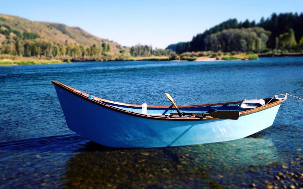
Photo courtesy of American Whitewater
Description
Take Out marks the final stretch before the Pine Creek confluence with the South Fork Snake River, characterized by a long, technical boulder garden with multiple potential routes through tight channels. Paddlers should be prepared for potential pin hazards and shifting rock gardens, requiring precise boat control and careful route selection through the narrow passages. While not considered a high-consequence rapid, navigation demands full attention and skillful maneuvering to successfully exit the creek.
Location
Other Rapids on This Run (2)


View Full Run
Headwaters to S. Fork Snake River confluence
Pine Creek (Tributary of South Fork of the Snake)
II-IV
10.7 mi
Current Conditions
5-Day Forecast
Whitewater data from
American Whitewater
American Whitewater