Gauge Conditions
Runnable: ? – ? CFS
Approximate - nearest available gauge. Use as general reference only.
Data from American Whitewater & USGS
Photo
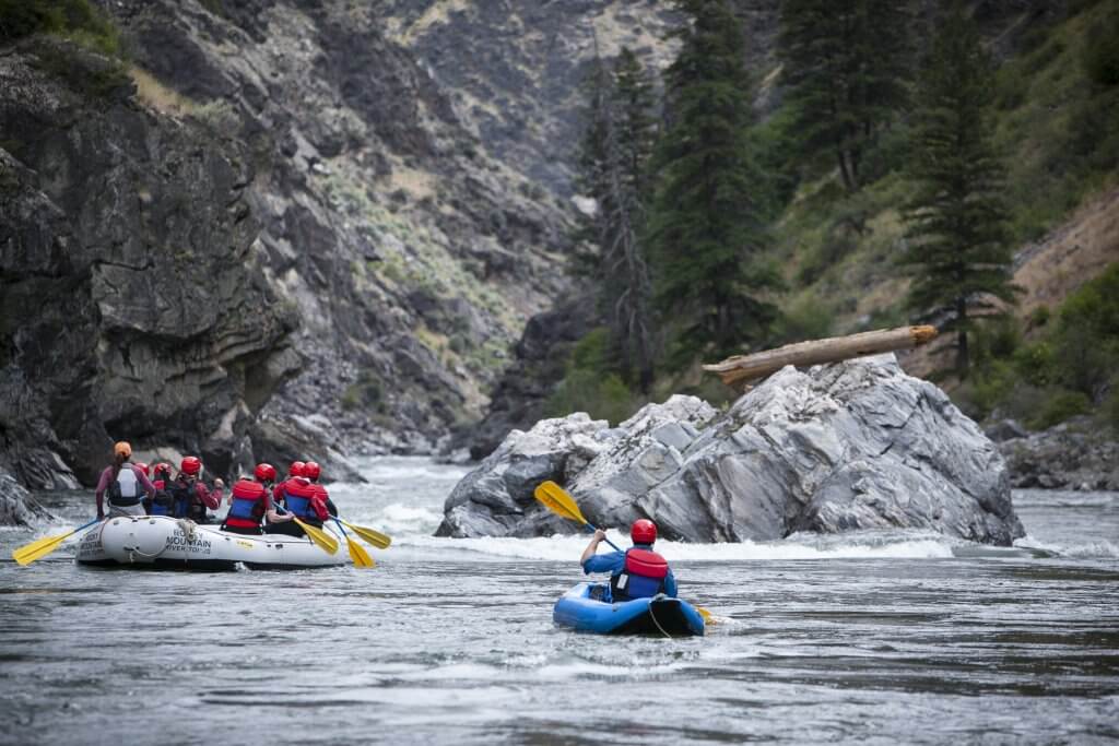
Photo courtesy of American Whitewater
Description
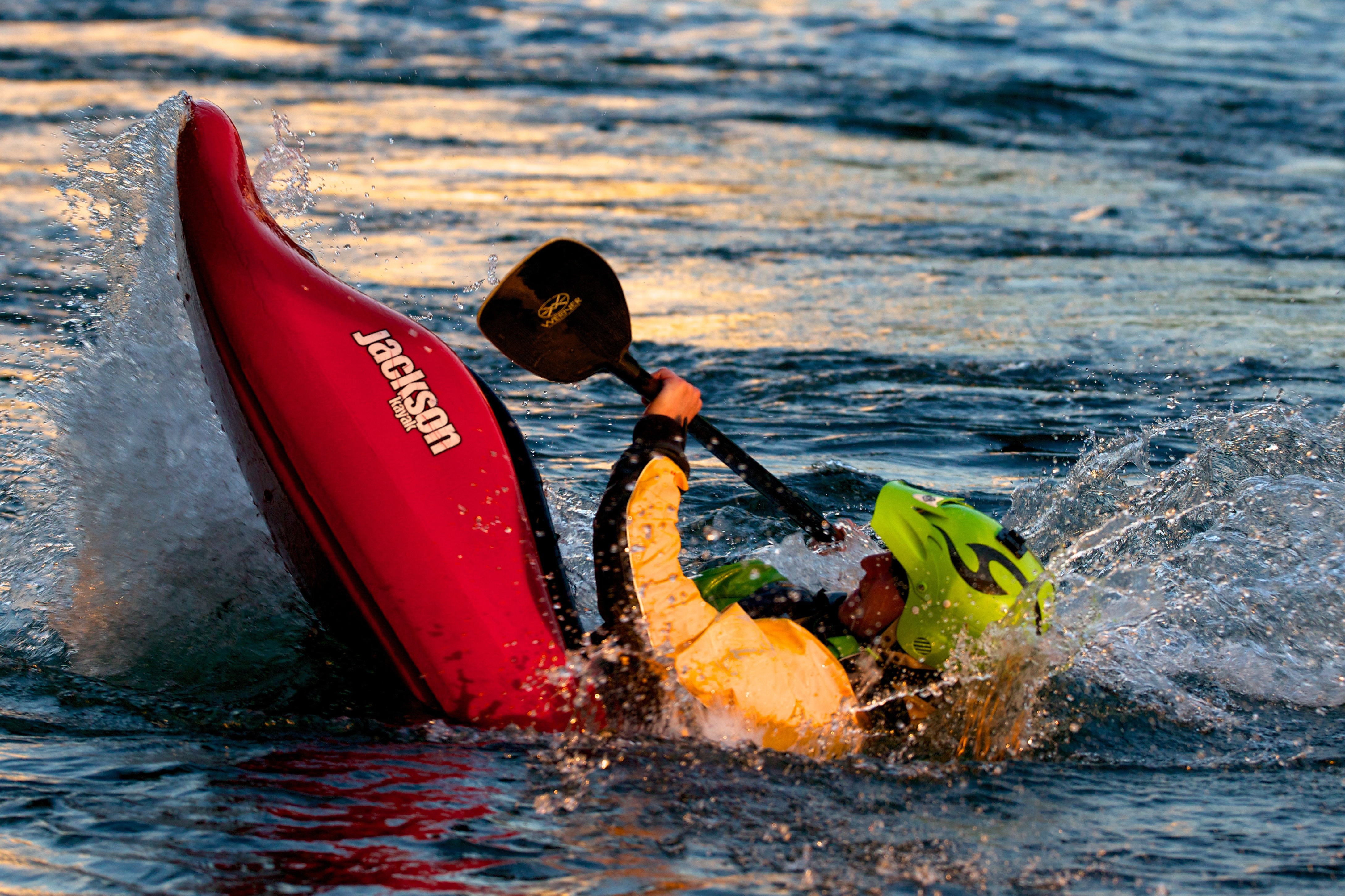
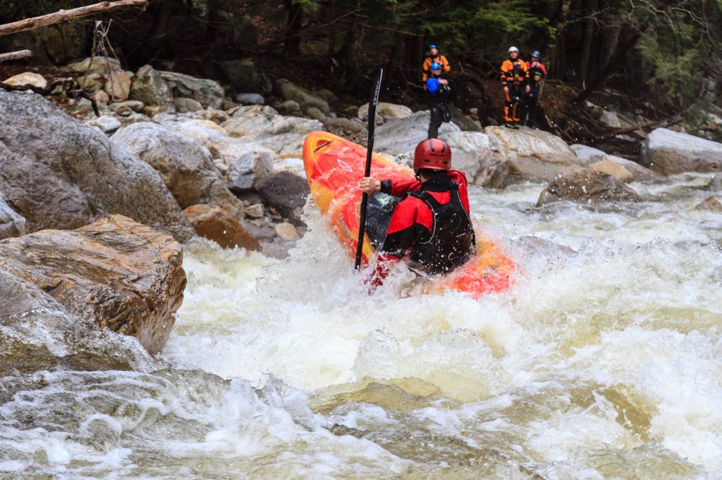
Take Out rapid marks the end of this challenging Big Shawnee Creek run, featuring a complex boulder garden with multiple technical channels that require precise boat positioning and quick maneuvering. Paddlers should be prepared for potential pin hazards among the scattered rocks and assess water levels carefully, as the rapid's character can change significantly between low and high flows.
Location
Other Rapids on This Run (2)
View Full Run
Hwy.41 to 70 W Rd. (2.9 miles)
Big Shawnee Creek
II
3.1 mi
Current Conditions
5-Day Forecast
Whitewater data from
American Whitewater
American Whitewater