Gauge Conditions
Runnable: 180.0 – 900.0 CFS
Unless there has been major rain earlier (in day/prior-day), expect too little flow for this creek.
Runnable: 100.0 – 600.0 CFS
Perhaps 0-35 cfs; likely too low to boat.
Data from American Whitewater & USGS
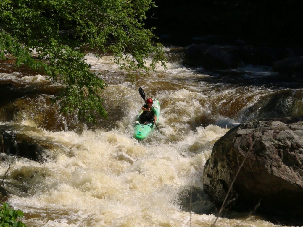
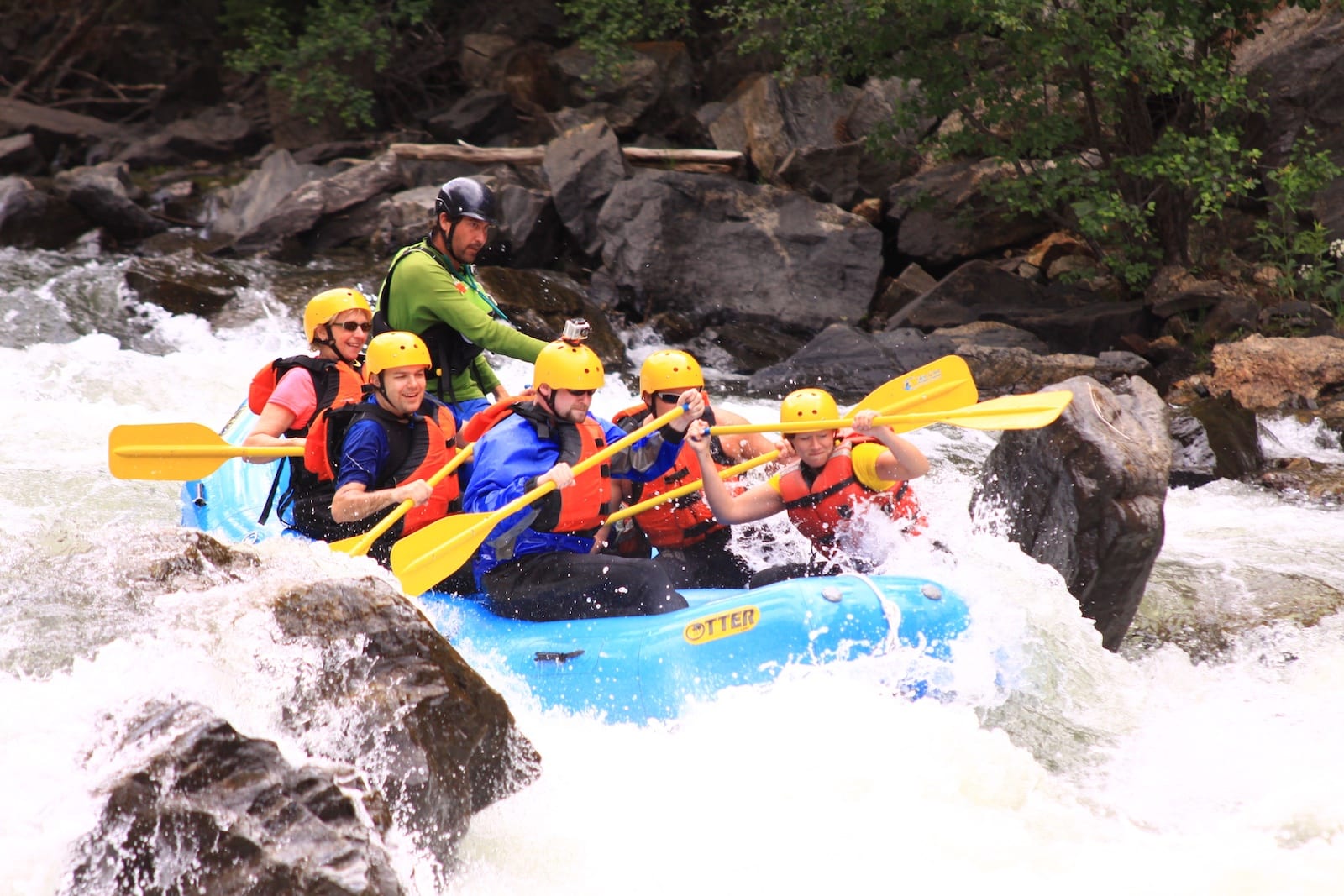
Photo
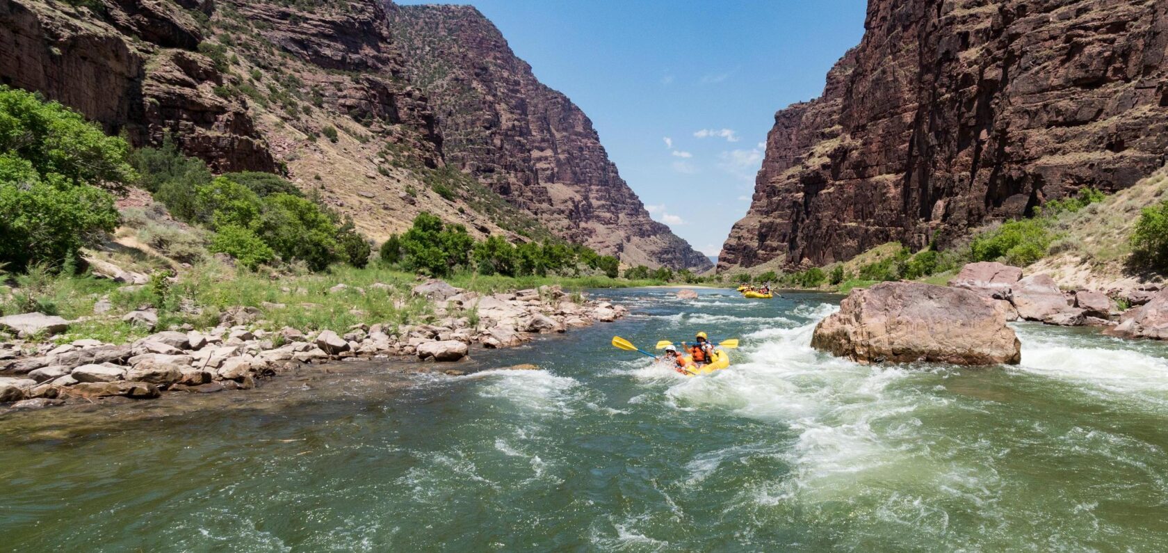
Photo courtesy of American Whitewater
Description
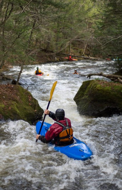
Take Out rapid presents a straightforward descent with minimal technical challenges on this section of Greenleaf Creek. Paddlers should be prepared for potential shallow water and scattered rock gardens that may require precise boat positioning and careful navigation. While the rapid lacks significant hazards, local water levels and seasonal conditions can dramatically impact boat handling and route selection.
Location
Other Rapids on This Run (5)


View Full Run
Hwy.96/Day Street to Hwy.32/57/Greenleaf Road (2 miles)
Greenleaf Creek
II-III+(IV)
1.6 mi
Current Conditions
5-Day Forecast
Whitewater data from
American Whitewater
American Whitewater