Gauge Conditions
Runnable: ? – ? CFS
Approximate - nearest available gauge. Use as general reference only.
Data from American Whitewater & USGS
Photo
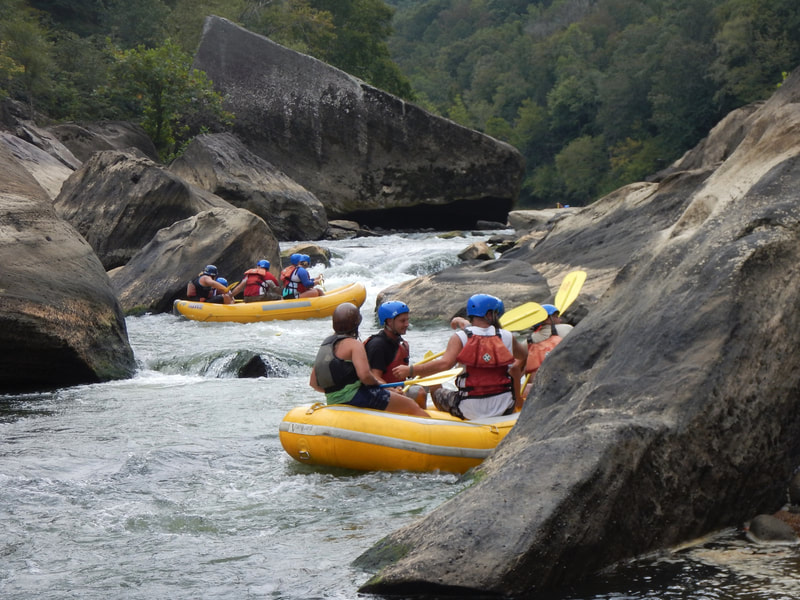
Photo courtesy of American Whitewater
Description
Take Out rapid marks the terminus of this Shawnee Run section, characterized by a complex boulder field and multiple potential channel routes that require precise navigation. Paddlers should be prepared for potential pin hazards and shifting water volumes that can dramatically alter the rapid's character between different flow levels. While not formally rated for difficulty, careful route-finding and boat control are essential to safely navigate this final segment of the run.
Location
Other Rapids on This Run (1)
View Full Run
KY 1343 (Curry Road) to Kentucky River (4 miles)
Shawnee Run
I-III(IV)
5.1 mi
Current Conditions
5-Day Forecast
Whitewater data from
American Whitewater
American Whitewater