Gauge Conditions
Runnable: ? – ? CFS
Approximate - nearest available gauge. Use as general reference only.
Data from American Whitewater & USGS
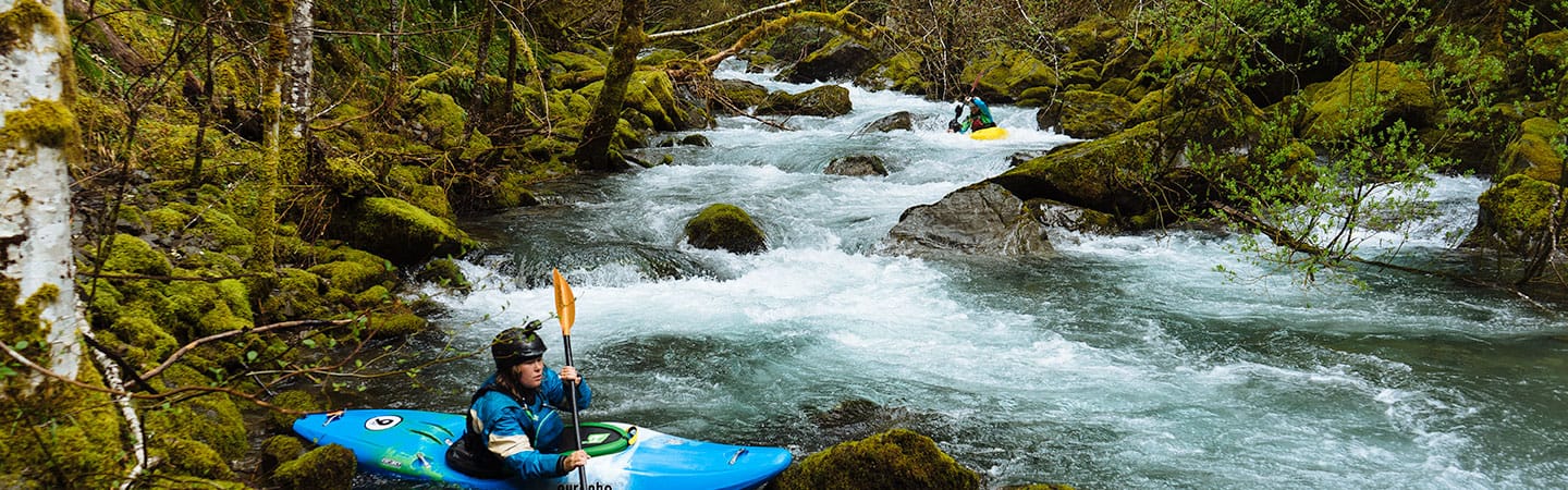
Photo
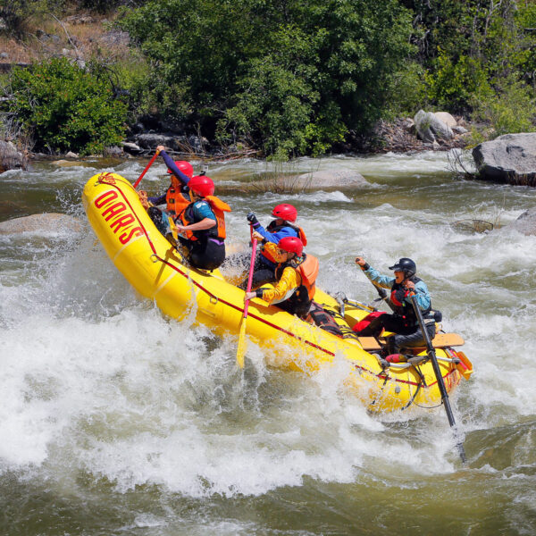
Photo courtesy of American Whitewater
Description
Take Out marks the conclusion of the North Fork Blakely Creek run, characterized by a straightforward exit point where paddlers typically disembark near Highway 84. The rapid itself does not present significant technical challenges, but careful navigation is required to safely reach the takeout point without stranding or damaging watercraft.
Location
Other Rapids on This Run (1)
View Full Run
North Fork Road to Hwy 84 (2.9 miles)
Blakely Creek, North Fork
II
3.1 mi
Current Conditions
5-Day Forecast
Whitewater data from
American Whitewater
American Whitewater