Take Out - Pennyfield Lock
Potomac - 2. GW Canal Loop or Violettes Lock to Pennyfield Lock (VA)
Gauge Conditions
Photo
Description
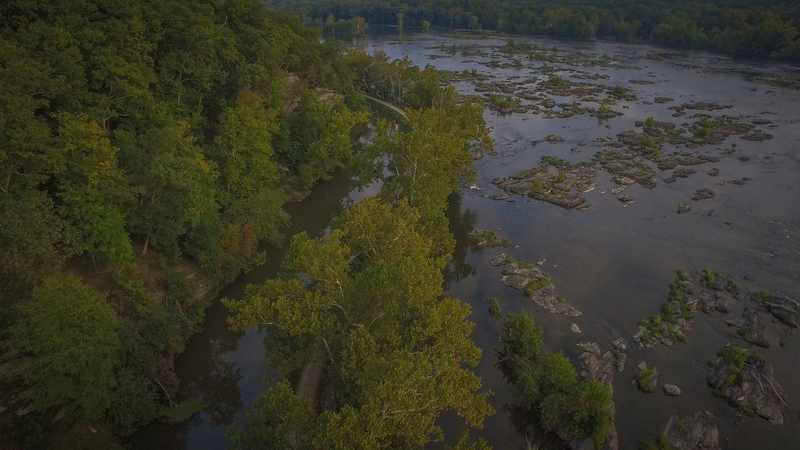
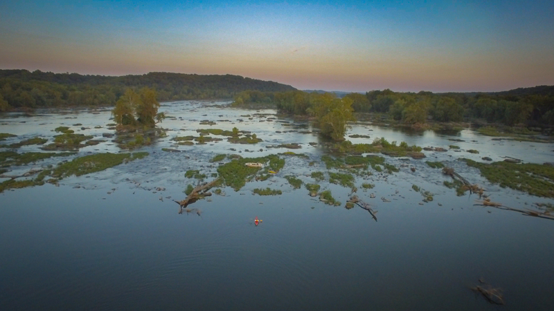
Alternate Take-outs (if the C&O Canal to Violette's Lock is not watered or used - see above) can be either Pennyfield Lock (river left, a little downstream, total run 3.3 miles) or to Swain's Lock (total run 6.3 miles). Several islands appear downstream, it is important to stay on the Maryland side of these, as passing to the right of the miles long Harris Island will deliver you downstream of both Pennyfield and Swain's Locks.
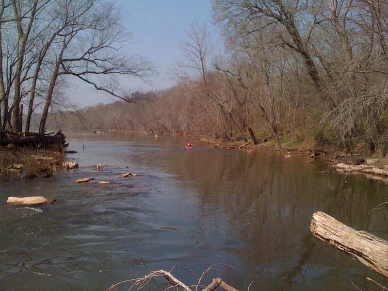
Look for the entrance to Muddy Branch to the Pennyfield take out (There was a sign here, but as of 2025, it's gone -- a replacement is in the works). It's upstream from the lock house a couple hundred yards. On your way downstream, hug the MD side of the river to find the channel. Once in the channel, paddle upstream 0.2 miles or so to the tunnel under the C&O canal and the boat ramp immediately afterward.
When setting shuttle at Pennyfield Lock, the boat ramp is at the right end of the parking lot.
Location
Other Rapids on This Run (11)
 Rapid
N/A
Rapid
N/A
 Rapid
II
Rapid
II
 Rapid
II
Rapid
II
Current Conditions
5-Day Forecast
American Whitewater