Take-out
GA
Take-out : Riverside Parkway
Sweetwater Creek - Sweetwater Creek State Park to Chattahoochee River (GA)
Gauge Conditions
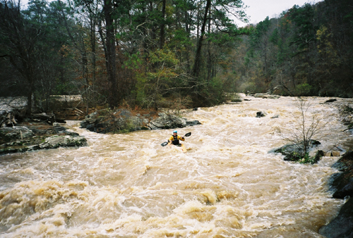
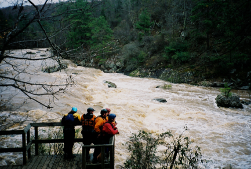
Runnable: 1.6 – 8.2 FT
After the Floods of 2009 a new gauge was installed. Min. 2.4 Max. 9.00 are the old flows. The new levels validated with several frequent local paddlers.
Data from American Whitewater & USGS
Description
The take-out is a pain in the neck. The normal take-out is on the right, under the bridge. The bank is slippery. The mud is nasty, and there is some re-bar waiting for someone to impale themselves on it.
Just above the bridge on the left is a cement culvert. At higher flows the culvert makes for a much better take-out. From there, carry up the trail to the road. Watch for snakes, poison ivey & broken glass.
Location
Other Rapids on This Run (11)
Rapid
Put-In
 Playspot
II+
Playspot
II+
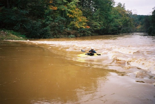
Warm up ledge.
 Rapid
IV+
Rapid
IV+
First Ledge
 Rapid
IV
Rapid
IV
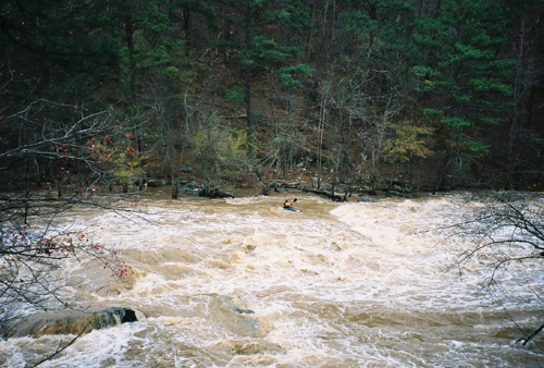
Mill Shoals
 Hazard
IV+
Hazard
IV+
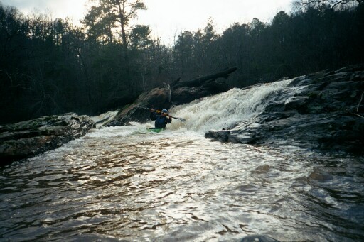
The Falls
 Waterfall
IV+
Waterfall
IV+
The Hole below the Falls
Rapid
II+
Creek Right
Rapid
III
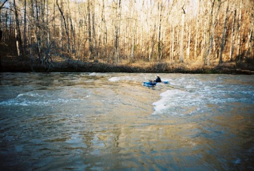
2nd Island - Surf right, play left
 Waterfall
II+
Waterfall
II+
Powerline Waves
 Rapid
IV
Rapid
IV
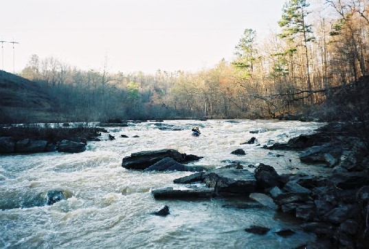
Big Island Rapid, aka Last Ruin Rapid
 Hazard
III
Hazard
III
Pumping Station
View Full Run
Sweetwater Creek State Park to Chattahoochee River
Sweetwater Creek
III-IV(V)
3.9 mi
Current Conditions
5-Day Forecast
Whitewater data from
American Whitewater
American Whitewater