Gauge Conditions
Runnable: ? – ? CFS
Approximate - nearest available gauge. Use as general reference only.
Data from American Whitewater & USGS
Photo
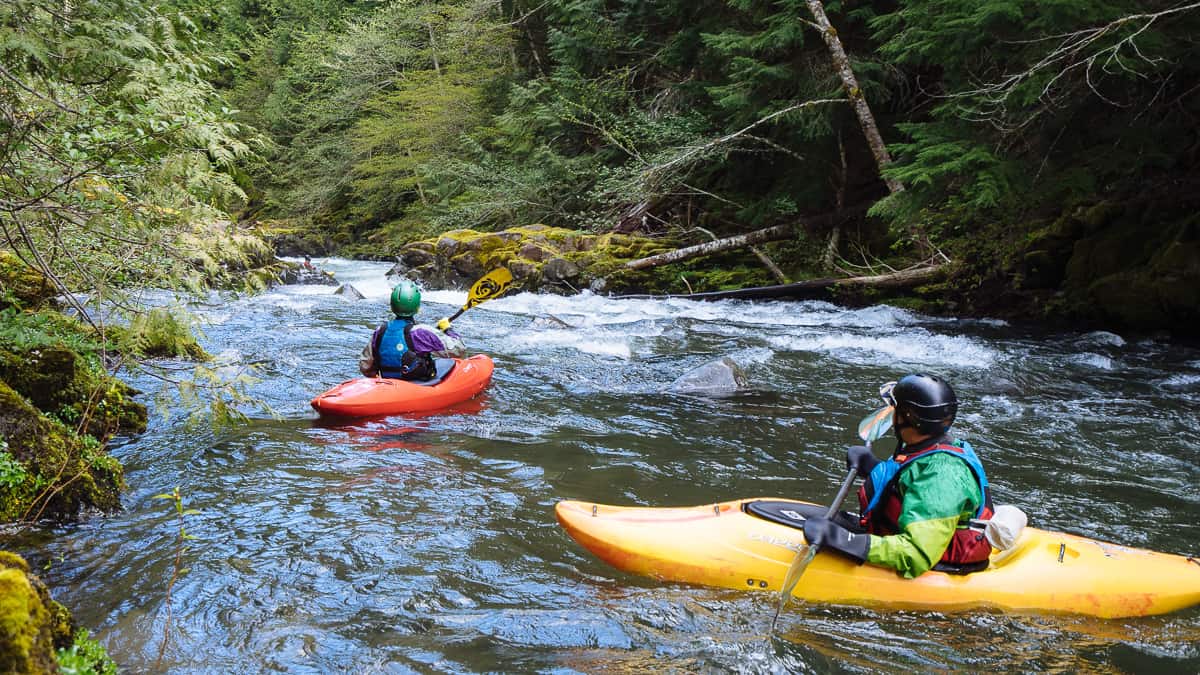
Photo courtesy of American Whitewater
Description
Take Out marks the exit point for this section of Eagle Creek's West Fork, situated near the Rt 763 bridge. While specific details are limited, paddlers should be prepared for potential takeout hazards such as shallow water, boulder gardens, or swift currents near the bridge abutments. Careful scouting and precise boat positioning are recommended when exiting the river at this location.
Location
Other Rapids on This Run (2)


View Full Run
Rt 353 to Rt 763
Eagle Creek, West Fork
I-II+(III)
2.8 mi
Current Conditions
5-Day Forecast
Whitewater data from
American Whitewater
American Whitewater