Gauge Conditions
Runnable: ? – ? CFS
Approximate - nearest available gauge. Use as general reference only.
Data from American Whitewater & USGS
Photo

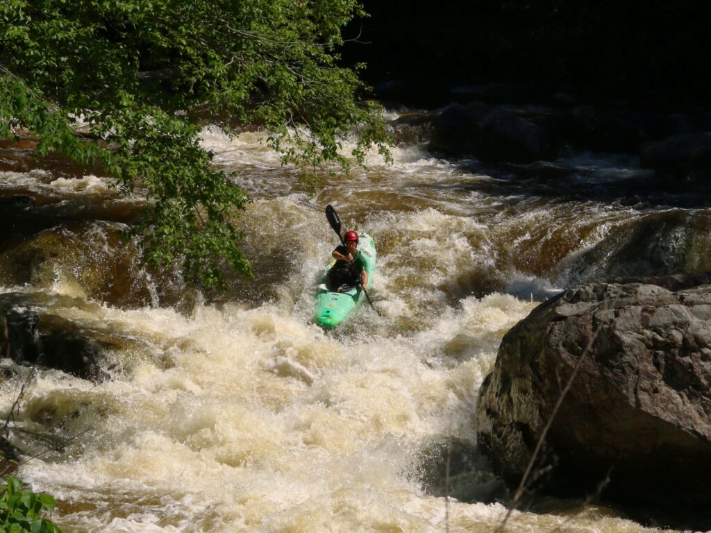
Photo courtesy of American Whitewater
Description
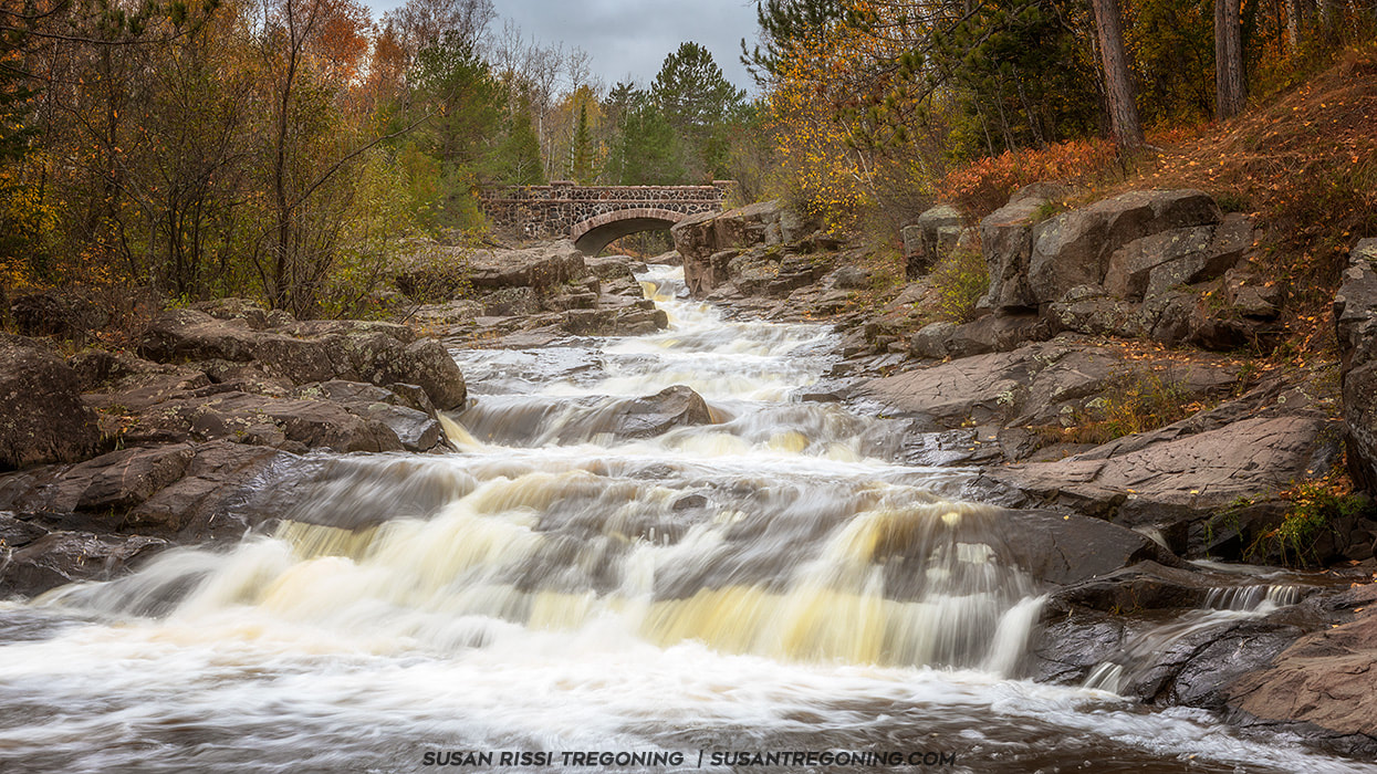
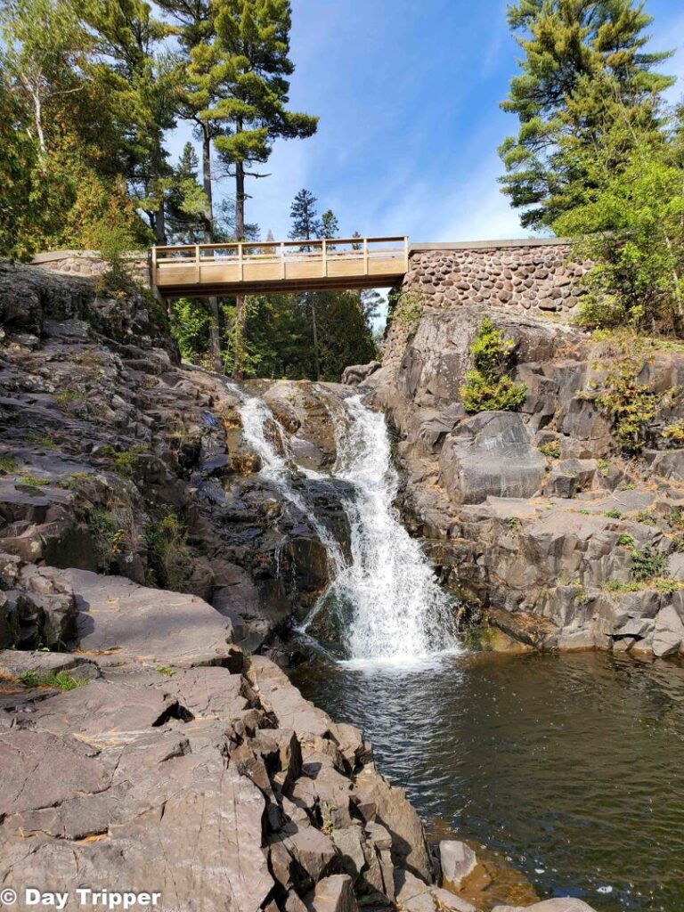
Take Out is the terminal rapid of this short but technical creek run, marking the transition to the Lester River and requiring careful navigation through a tight, boulder-strewn channel with limited maneuvering room. Paddlers should be prepared for potential pin hazards and have a clear exit strategy, as the rapid's confined nature leaves little margin for error.
Location


View Full Run
Skyline Pkwy to Lester River (2.4 miles)
Amity Creek
IV-V
2.2 mi
Current Conditions
5-Day Forecast
Whitewater data from
American Whitewater
American Whitewater