Gauge Conditions
Runnable: ? – ? CFS
Approximate - nearest available gauge. Use as general reference only.
Data from American Whitewater & USGS
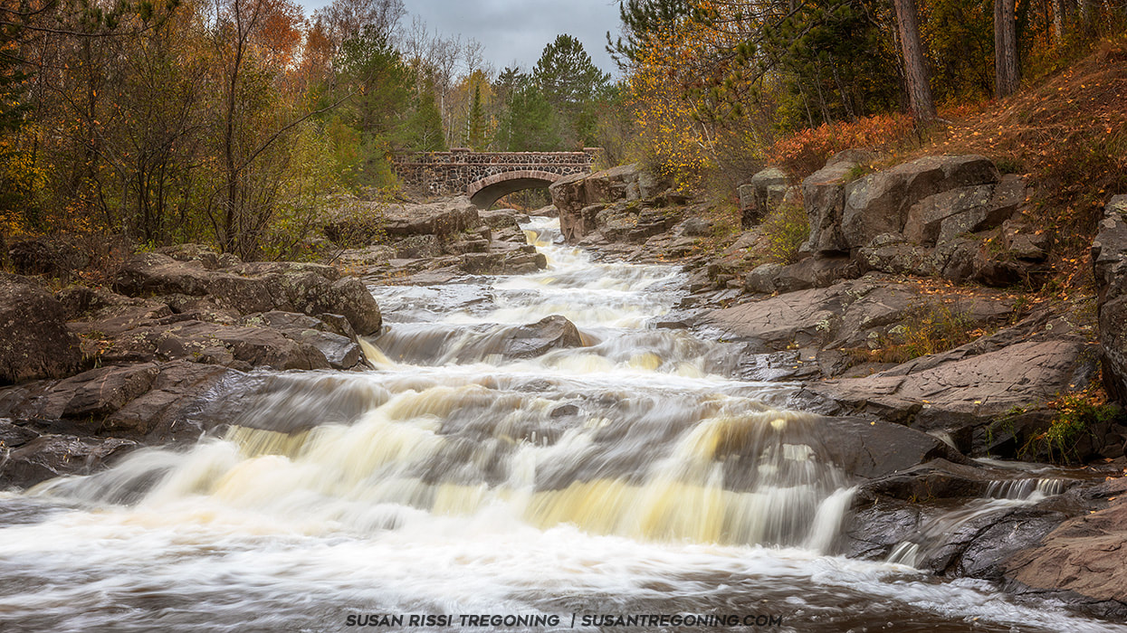
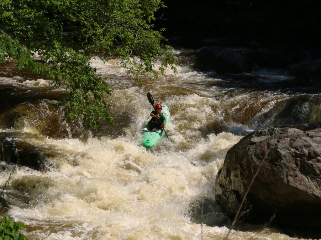
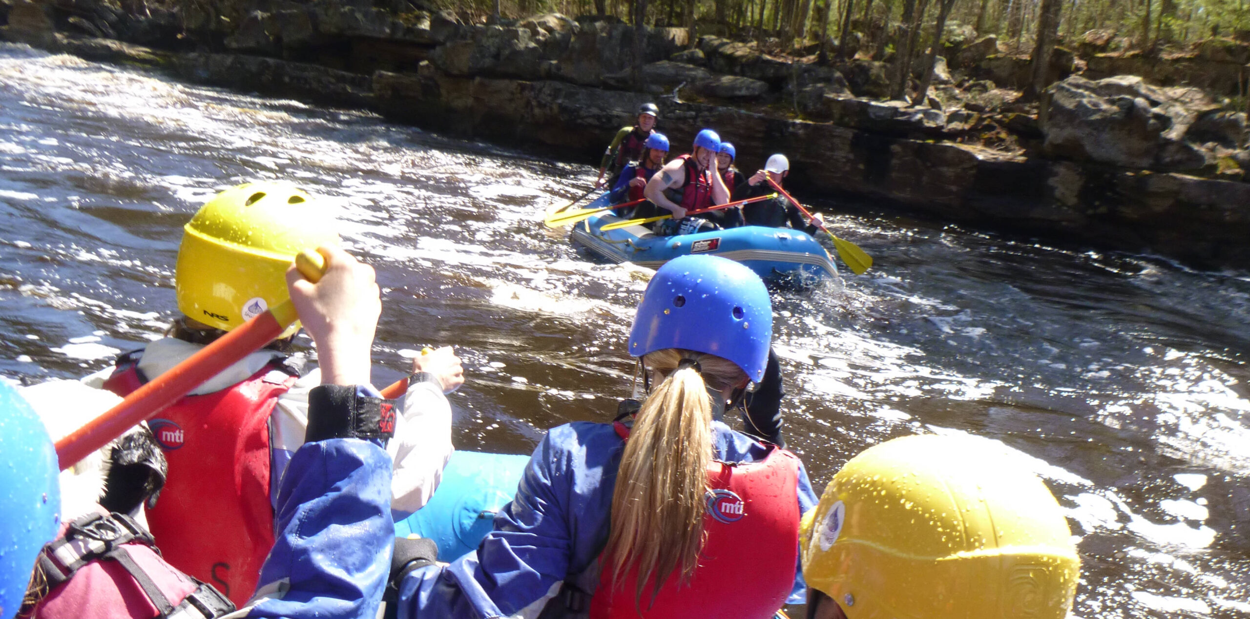
Photo
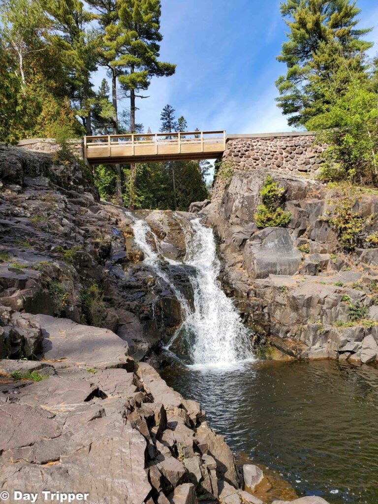
Photo courtesy of American Whitewater
Description
A USGS sampling site at this location lists drainage area of 16 square miles.
The Lester has 53 square miles at its sampling site downstream of the confluence with Amity, which makes it roughly 37 sq.mi. upstream of that confluence, or about 2.3 times as large a drainage as Amity.
Location


View Full Run
Skyline Pkwy to Lester River (2.4 miles)
Amity Creek
IV-V
2.2 mi
Current Conditions
5-Day Forecast
Whitewater data from
American Whitewater
American Whitewater