Take-out
MD
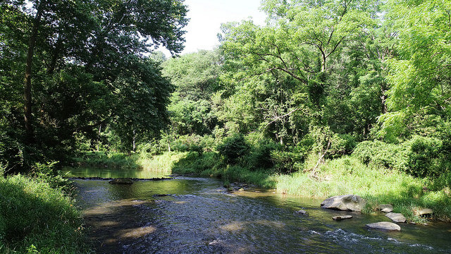
Take-Out - Walters Mill Road River Access
Deer Creek - 3. Rocks State Park to Walters Mill River Access (MD)
Gauge Conditions
Runnable: 2.5 – 10.0 FT
2.6' is minimum for Rocks State Park to Walters Mill river access section; 2.5' is minimum for Walters Mill river access to Sandy Hook Rd./Deer Creek Conservat
Data from American Whitewater & USGS
Photo

Photo courtesy of American Whitewater
Description
Take-Out - Walters Mill River Access (1202 Walters Mill Rd, Forest Hill, MD 21050). To get to the Take-out from US. 1, take Ady Road (MD 543) north and turn left onto Walters Mill Road. Follow Walters Mill Rd. to the Walters Mill River Access.
Location
Other Rapids on This Run (1)
View Full Run
3. Rocks State Park to Walters Mill River Access
Deer Creek
I-II(III)
6.4 mi
Current Conditions
5-Day Forecast
Whitewater data from
American Whitewater
American Whitewater