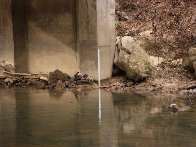
Gauge Conditions
Runnable: 3,000.0 – 9,000.0 CFS
Likely too low. (Visual inspection is required.)
Data from American Whitewater & USGS
Photo
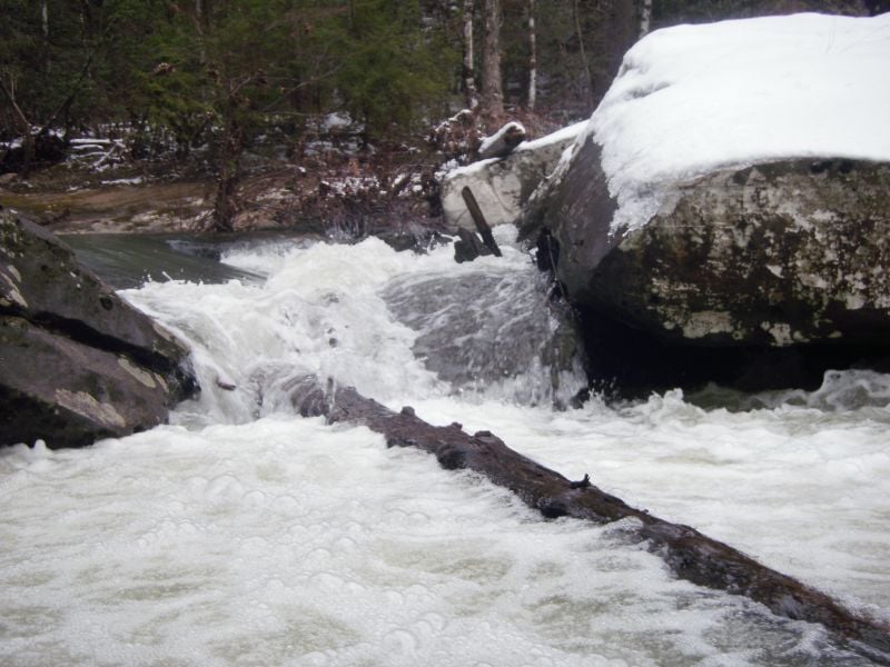
Photo courtesy of American Whitewater
Description
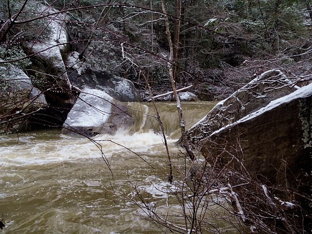
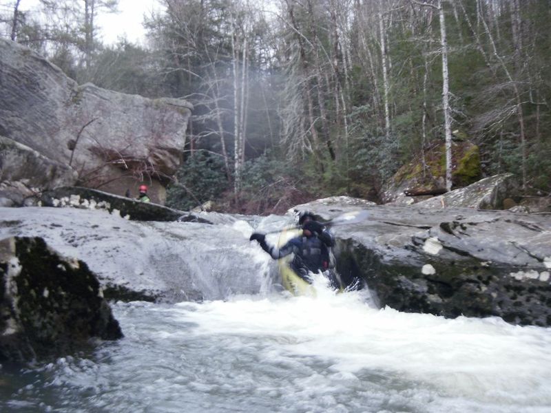
This is the first noticeable horizon line on the run and indicates the beginning of the steepest mile. This comes up shortly after a tributary on the right where the creek turns west. At low water, this is a riverwide rocky blockage with three boat-sized sieves and wood. At higher water (20"+) it could probably be run, but I still wouldn't call it a runnable rapid. It's pretty easy to see this one coming if you are paying attention and there are multiple eddies to get out in. Scout and portage on the left.
Location
View Full Run
742 to Barthell (5.4 miles)
Roaring Paunch
IV
5.9 mi
Hazard — Exercise extreme caution in this area.
Current Conditions
5-Day Forecast
Whitewater data from
American Whitewater
American Whitewater