How's Your
River
×
Explore
Explore Map
Water Bodies
Gauges
Access Sites
Tidal Stations
Whitewater
Pricing
Login
Sign Up
Hazard Warning:
Hazard information may be user-submitted and unverified. Conditions change frequently. Always scout rapids and obstacles yourself.
Whitewater
Georgia
Tallulah - 4 - Middle - Old Hwy 441 to Tallulah Falls Lake
third ledge
Rapid
GA
Class III
third ledge
Tallulah - 4 - Middle - Old Hwy 441 to Tallulah Falls Lake (GA)
Monitor this Rapid
Water Body
This Run
Map
Other Rapids
Gauge
Weather
Directions
Gauge Conditions
Tallulah River at Terrora Pwrhse, near Tallulah Falls,GA
Downstream
Primary
Runnable: 250.0 – 1,000.0 CFS
Data from
American Whitewater
&
USGS
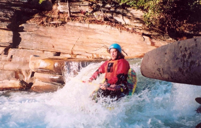
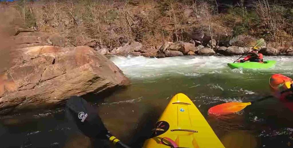
Photo
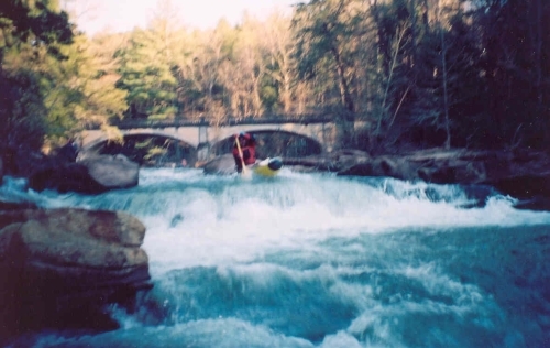
Photo courtesy of
American Whitewater
Description
The third ledge is the only true vertical drop.
Location
Radar
Counties
Cell
Verizon
AT&T
T-Mobile
Dark
Satellite
Terrain
Other Rapids on This Run (3)
Rapid
N/A
Put In
0.0 mi
Rapid
III
first ledge
3.9 mi
Rapid
N/A
Take Out
4.0 mi
Type
Rapid
Difficulty
Class III
Mile Marker
3.9 mi
Directions
Navigate
View Full Run
4 - Middle - Old Hwy 441 to Tallulah Falls Lake
Tallulah
II-III
5.7 mi
Current Conditions
5-Day Forecast
Whitewater data from
American Whitewater
third ledge