Gauge Conditions
Data from American Whitewater & USGS
Description
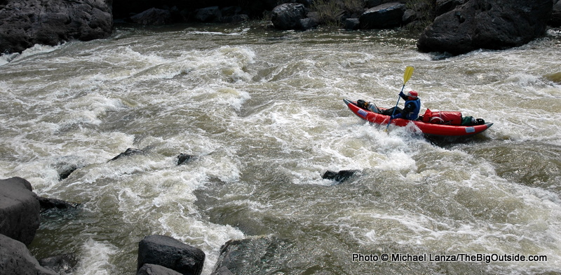
It's a long gravel road to the take-out at Three Forks. The last descent into the canyon is the toughest. High clearance is highly recommended although two-wheel drive vehicles have made it down if they proceed very carefully and are lightly loaded--and most have made it back up but it is not recommended. If a storm comes through however all bets are off and conditions can deterioriate to a point where even all-wheel drive is insufficient. Self support kayakers can hike up to the rim but it can be a long walk particularly if it is a hot sunny day. Hiking up to the rim would be a relatively easy option for pack rafters.
Location


View Full Run
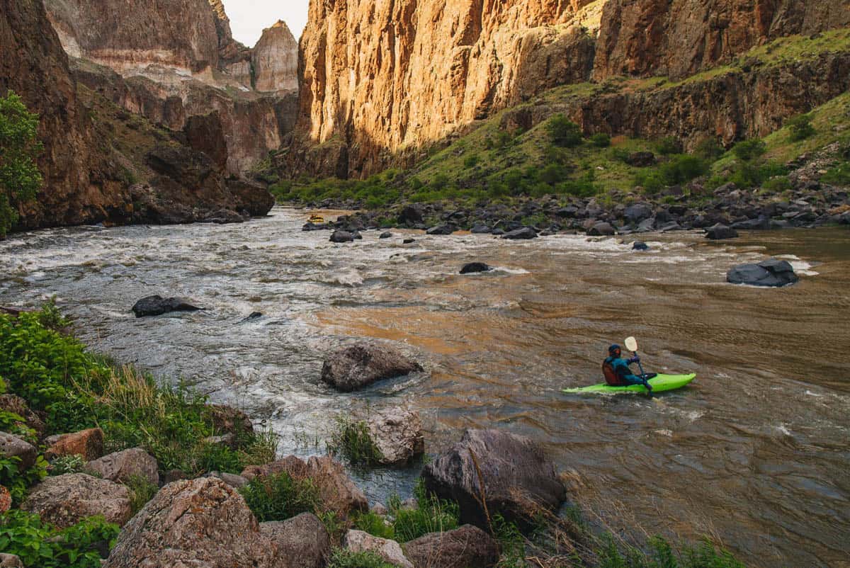
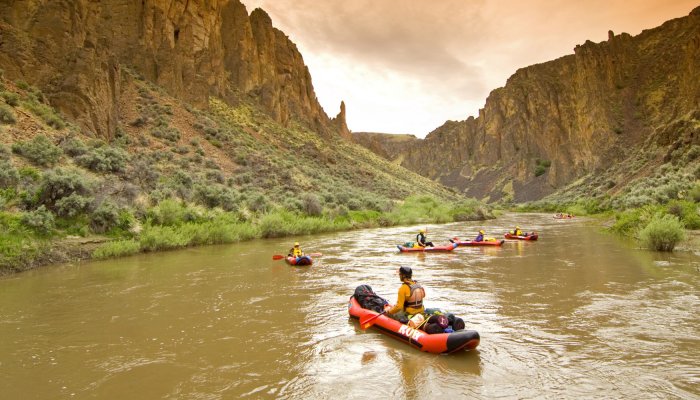
2. Crutcher's Crossing to Three Forks
Owyhee
II-III+(V)
38.1 mi
Current Conditions
5-Day Forecast
Whitewater data from
American Whitewater
American Whitewater