Trailside Stretch
Tuckasegee, West Fork - Thorpe Dam to Thorpe Powerhouse on Tuckasegee Reservoir (NC)
Gauge Conditions
Approximate - nearest available gauge. Use as general reference only.
Description
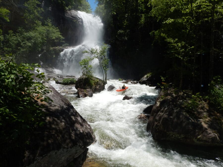
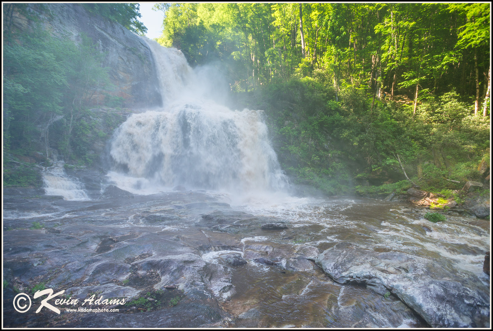
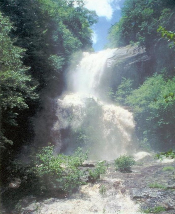
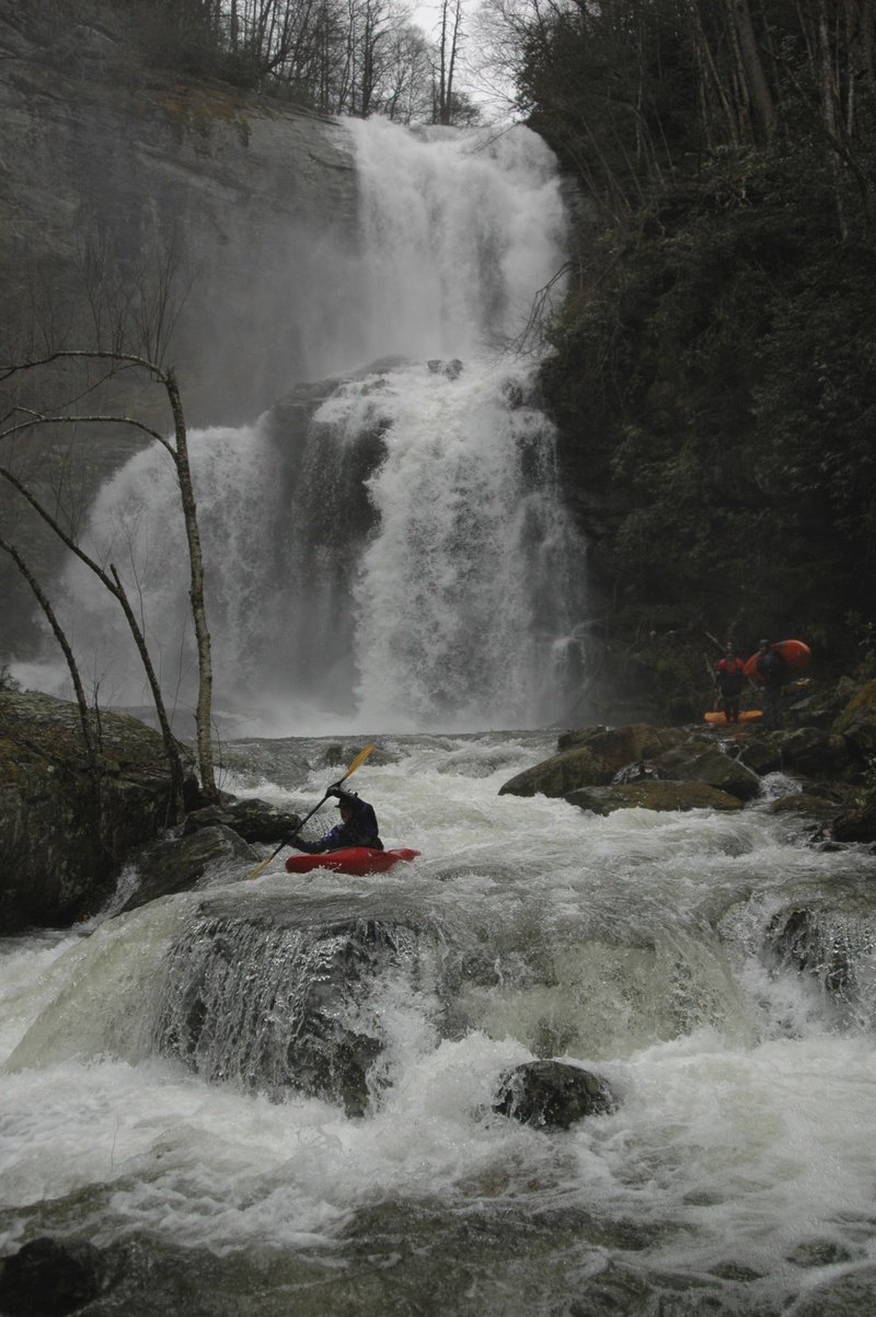
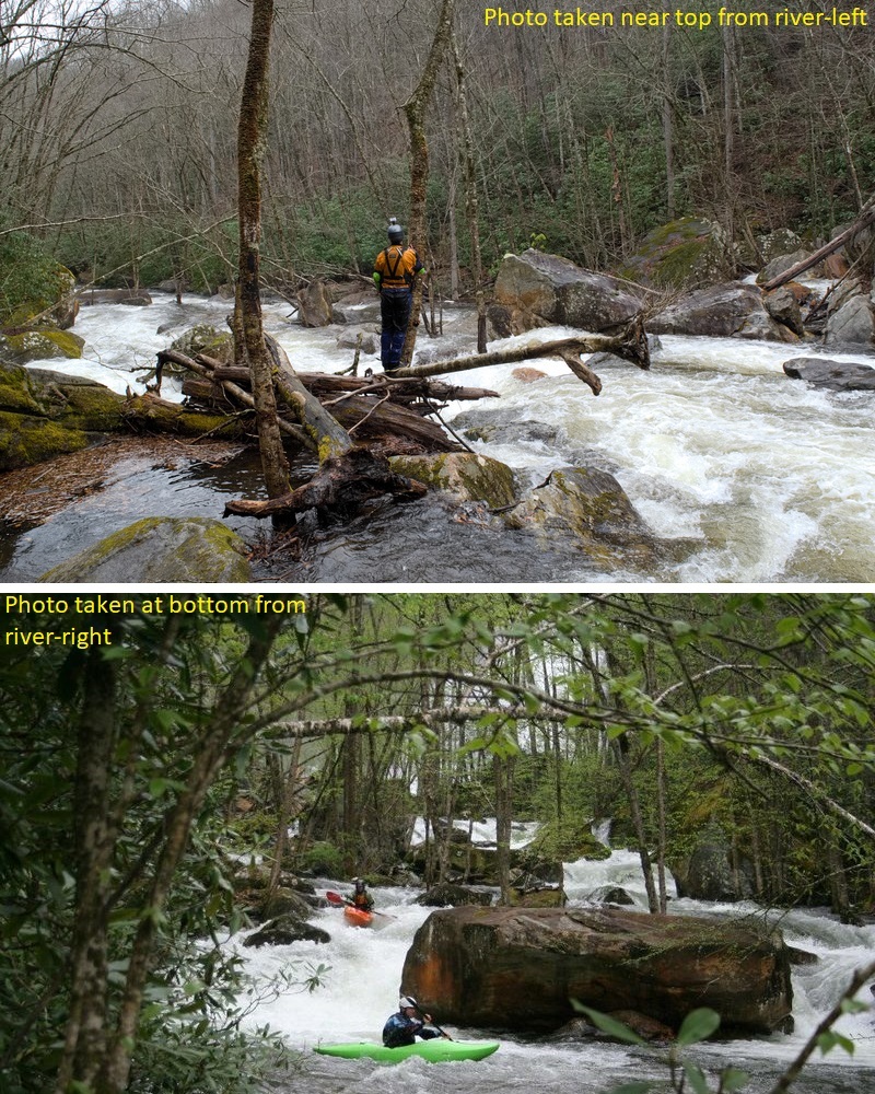
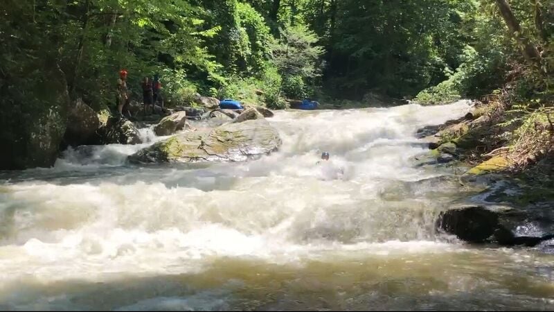
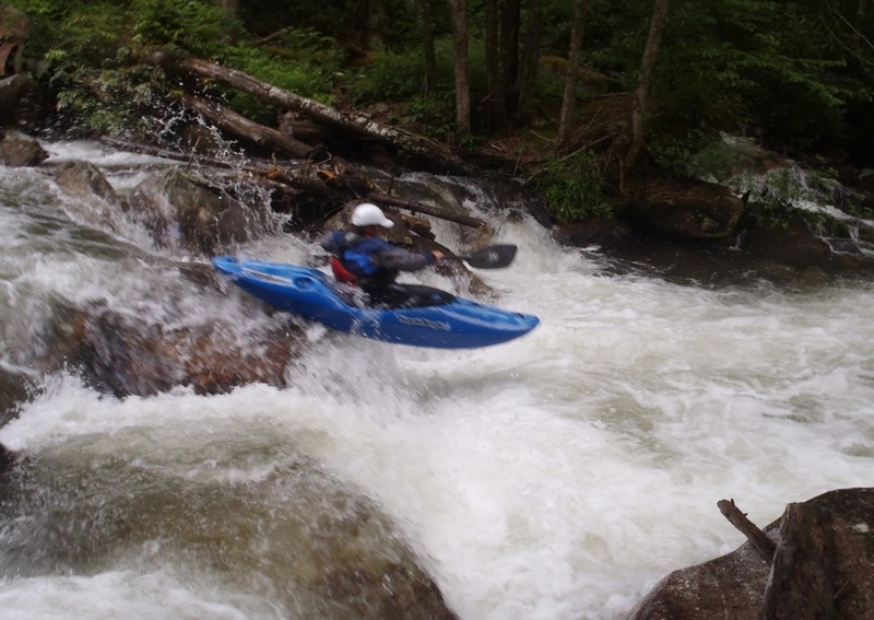
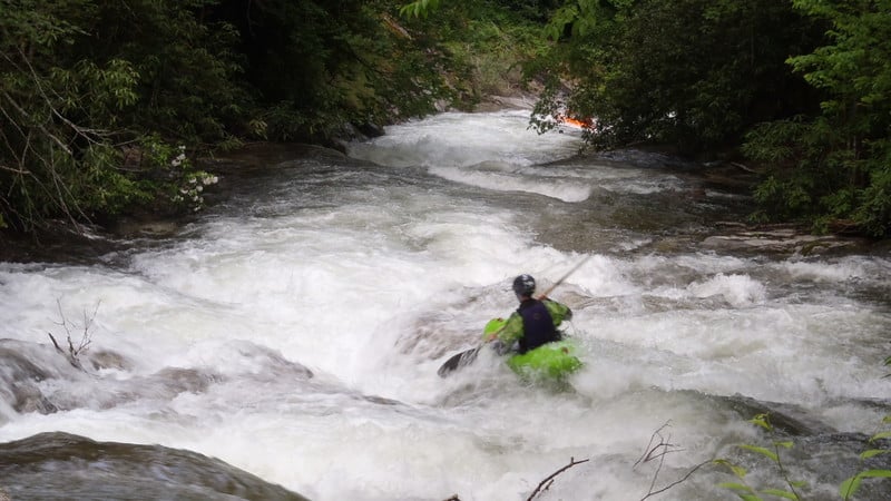
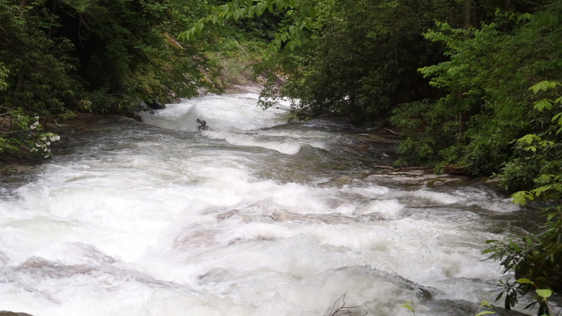
A little over a mile of class II water along with two or three class III rapids follow the second boulder garden. The first class III rapid after the second boulder garden passes a pretty waterfall on river-left formed by Rough Run Creek. It is private property and posted as such with signs and steel cables.
A trail on river-right is never far from the river until the river-right bank steepens and rises 50 feet or so above the river. The trail is on private land, but public access by foot is generously permitted with posted restrictions (no fires, no camping, no hunting, etc.). Signs near the trailhead on Shoal Creek Mountain Road specify the restricted activites.
Location
Other Rapids on This Run (19)
 Hazard
N/A
Hazard
N/A
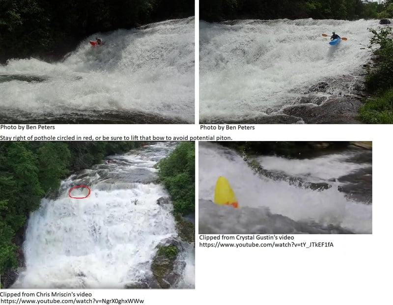
 Waterfall
VI
Waterfall
VI
 Waterfall
VI
Waterfall
VI
 Rapid
IV
Rapid
IV
 Rapid
IV
Rapid
IV
 Hazard
IV
Hazard
IV
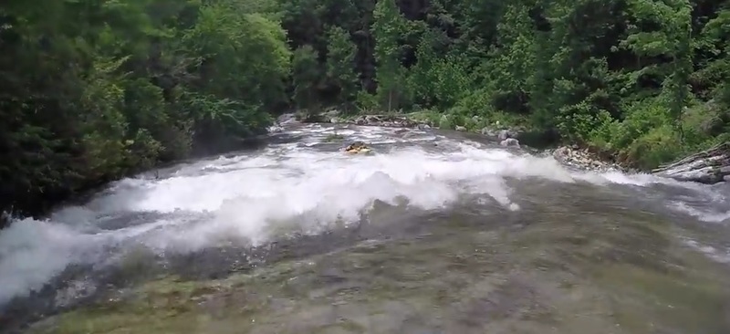
 Waterfall
IV+
Waterfall
IV+
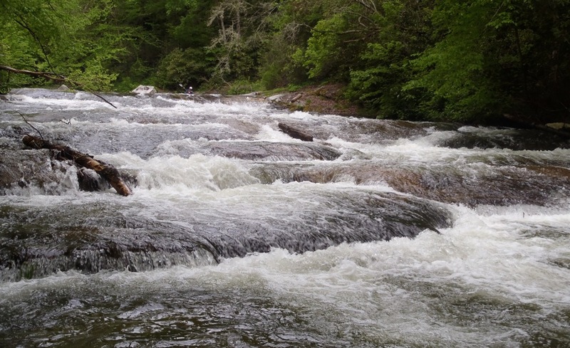
 Rapid
III+
Rapid
III+
 Rapid
III
Rapid
III
 Rapid
IV
Rapid
IV
 Rapid
III+
Rapid
III+
 Rapid
IV
Rapid
IV
 Rapid
III+
Rapid
III+
Current Conditions
5-Day Forecast
American Whitewater