Rapid
MN
Upper Put-in (Drainage Area: 14.27 sq.mi.)
Sevenmile Creek - Sevenmile Park: Trail 8 to US169 (2.4-5.3 miles) (MN)
Gauge Conditions
Runnable: ? – ? CFS
Approximate - nearest available gauge. Use as general reference only.
Data from American Whitewater & USGS
Description
Those who wish a longer run (and who wish to avoid the carry-up and do a vehicle shuttle) might start from County Ditch Number 46A.
Put-in on the upstream (west) side of County Highway 13 and run through the culvert.
Location

View Full Run
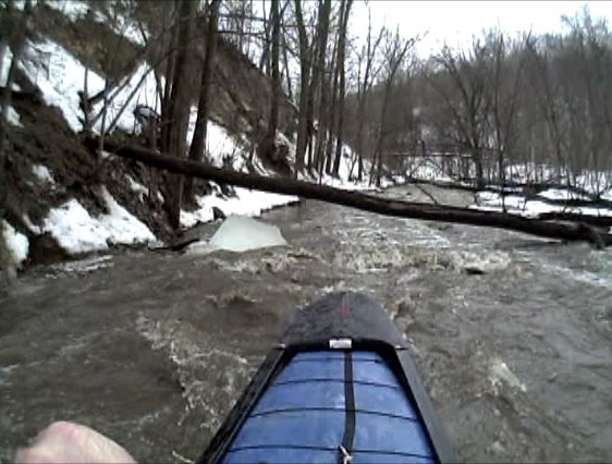
Sevenmile Park: Trail 8 to US169 (2.4-5.3 miles)
Sevenmile Creek
I-II
5.3 mi
Current Conditions
5-Day Forecast
Whitewater data from
American Whitewater
American Whitewater