Upper wGawgos kčal (Upper Moonshine Falls)
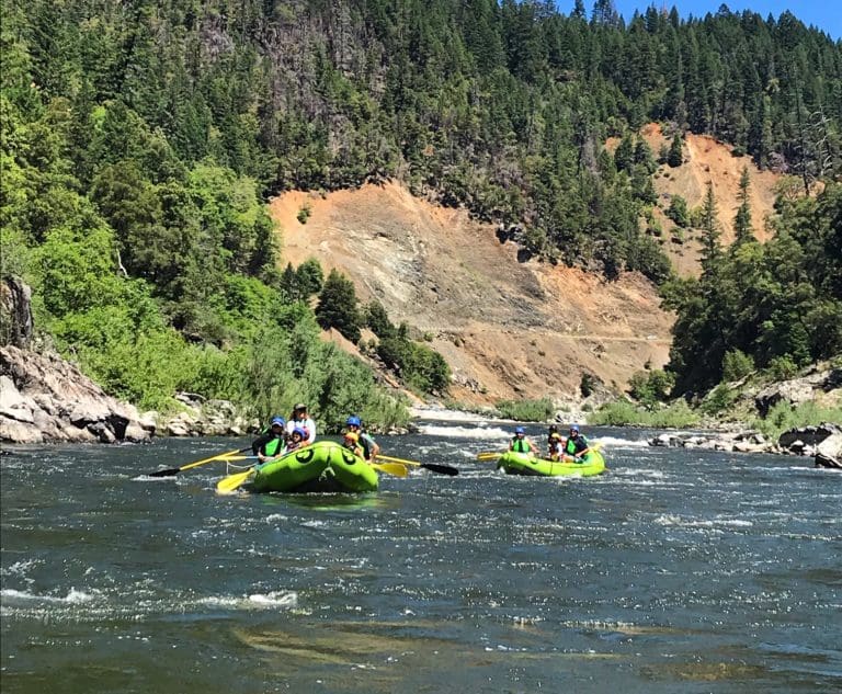
Klamath - 01. Keno Dam to Pioneer Park West or Moonshine Falls (OR)
Gauge Conditions
Photo
Description
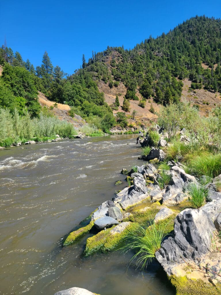
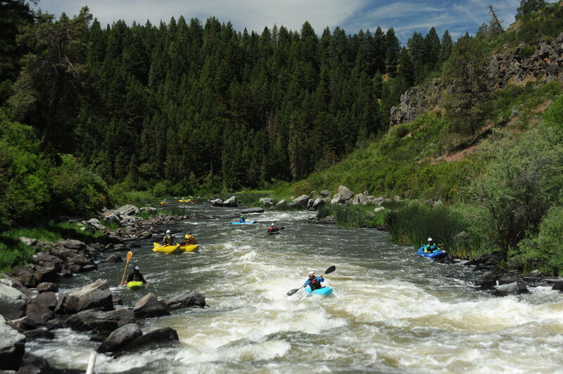
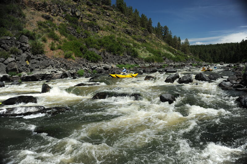
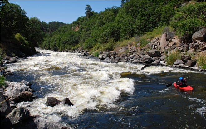
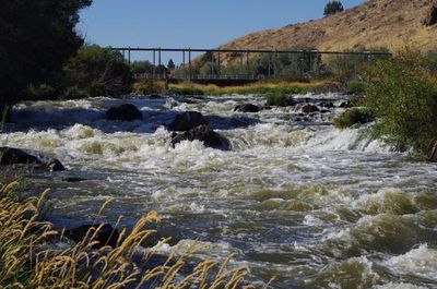
Upper wGawgos kčal (Upper Moonshine Falls) is a rapid that is re-defining itself now that J.C. Boyle Dam no longer sits atop it. It is currently located where the cofferdam once was, which is the likely source of the gradient at this location. The rapid is quickly headcutting upstream, so its location may change. Scout (or portage) from river left. The main drop comes at the sharp right bend in the river where the dam used to be. After dam removal in fall 2024, it was initially steep and rowdy with a boisterous wave/hole but following the first winter of high flows in early 2025, the rapid is now much more subdued. The rapid then levels out before the river bends left and flows into the original, but altered, wGawgos kčal (Moonshine Falls or Fishing Falls).
About this rapid's name: wGawgos kčal (pronounced wah-GOW-goss k-chahl) is the Modoc language name of the falls now commonly known as Moonshine Falls. As noted above, this rapid is located upstream of the falls where J.C. Boyle Dam once stood, therefore it is referred to as the upper falls.
Location

Current Conditions
5-Day Forecast
American Whitewater