Gauge Conditions
Description
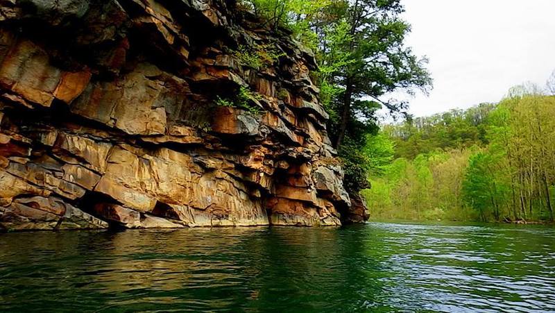
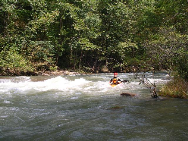
Named after the town of "Warnick" that was once on the river right side at this rapid. There is a little boogie water before you get to it. Basically, "Warnick" rapid is a riverwide shoal that the paddler has to find a way through. The traditional line is to start at center, then work to the left, passing just to the right of a rock that appears to block the channel. The river right side of this rapid has been opening up in recent years and there is a line down river right, as well, with a rocky turn back to the center at the bottom. I have been told by one paddler that there is a way (at 1,000 cfs) to run a clean line through the center of the shoal and I've actually seen another paddler that seemed to pull it off, but I don't know how to describe it here. It's up to your river reading skills. (There are spelling variations of "Warnick" such as "Warnoch" and perhaps others.)
Location
Other Rapids on This Run (17)
 Rapid
II
Rapid
II
 Rapid
III
Rapid
III
 Rapid
N/A
Rapid
N/A
Current Conditions
5-Day Forecast
American Whitewater