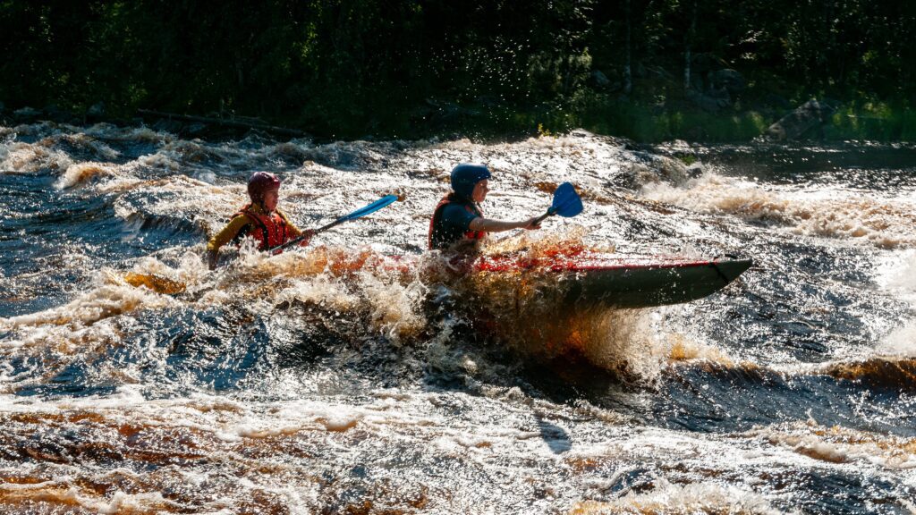
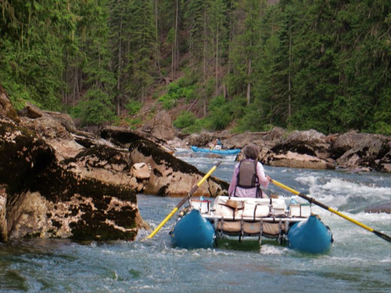
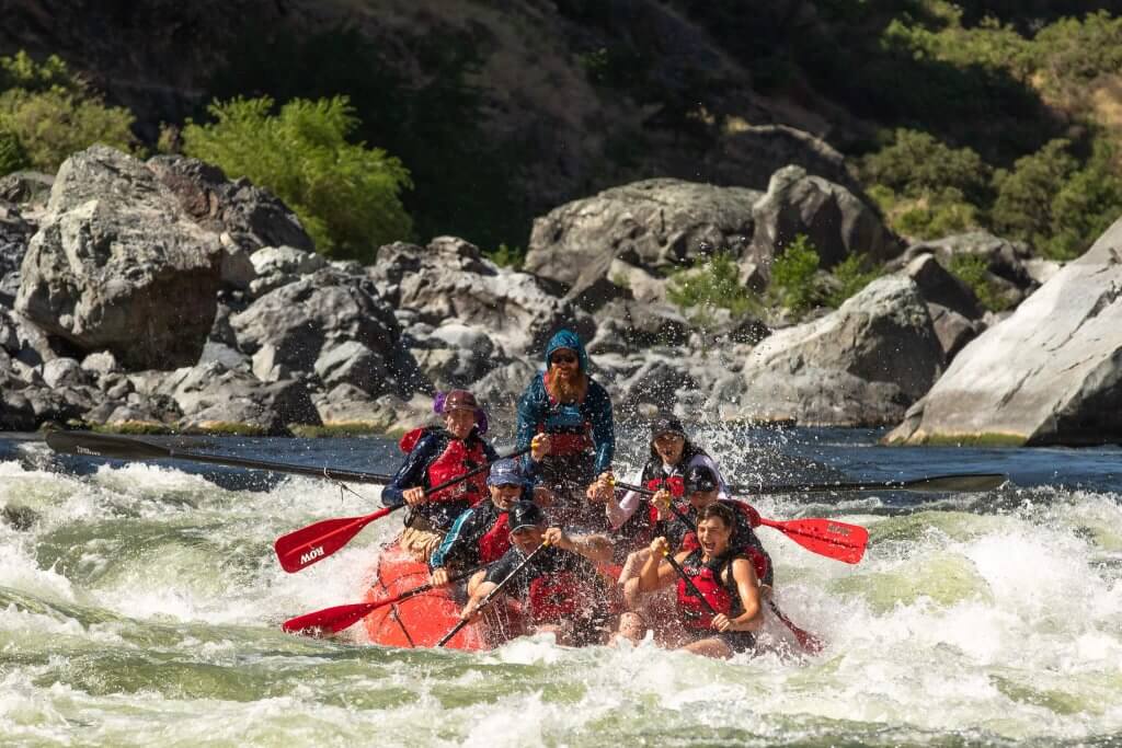
24,753
Total Features
21,352
Rapids
855
Waterfalls
927
Playspots
1,513
Hazards
106
Portages

Click a category above to filter the map and list

Loading...

Map Legend

Rapids
Waterfalls
Playspots
Hazards
Portages
Rivers

Idaho 5 features

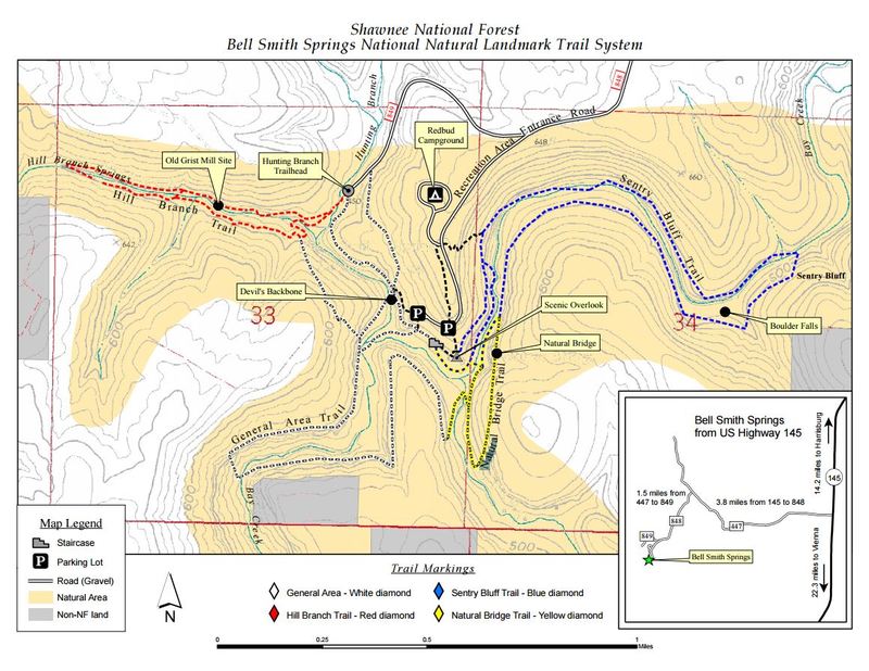
Illinois 43 features
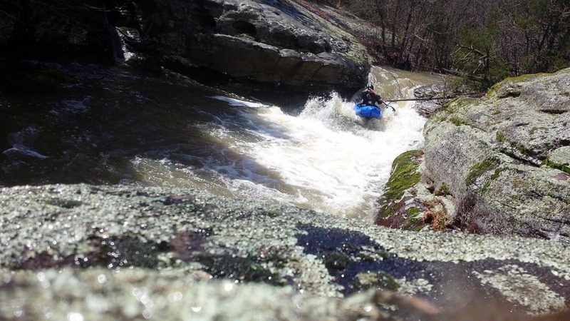
Bailey Falls

Bailey Falls

Bailey Creek - N2300 Rd to Vermilion River (0.5-1.5 miles)
Waterfall IV+
Culvert

Culvert

Bailey Creek - N2300 Rd to Vermilion River (0.5-1.5 miles)
Hazard IV
Drainage: ~33 sq.mi.

Drainage: ~33 sq.mi.

Bailey Creek - N2300 Rd to Vermilion River (0.5-1.5 miles)
Rapid N/A
Pickup Truck

Pickup Truck

Bailey Creek - N2300 Rd to Vermilion River (0.5-1.5 miles)
Hazard III
Put In

Put In

Bailey Creek - N2300 Rd to Vermilion River (0.5-1.5 miles)
Rapid N/A
Take Out

Take Out

Bailey Creek - N2300 Rd to Vermilion River (0.5-1.5 miles)
Rapid N/A
Put In

Put In

Bay Creek - Ozark Road to Redbud Parking area (3.4 miles)
Rapid N/A
Take Out

Take Out

Bay Creek - Ozark Road to Redbud Parking area (3.4 miles)
Rapid N/A
Boogie Slide

Boogie Slide

Bay Creek, Hill Branch - Bell Smith Springs (1.4 miles)
Rapid N/A
Drainage: 0.57 sq.mi.

Drainage: 0.57 sq.mi.

Bay Creek, Hill Branch - Bell Smith Springs (1.4 miles)
Rapid N/A
First Drop

First Drop

Bay Creek, Hill Branch - Bell Smith Springs (1.4 miles)
Rapid N/A
Put In

Put In

Bay Creek, Hill Branch - Bell Smith Springs (1.4 miles)
Rapid N/A
Take Out

Take Out

Bay Creek, Hill Branch - Bell Smith Springs (1.4 miles)
Rapid N/A
Confluence w.Lusk Creek

Confluence w.Lusk Creek

Bear Branch - Straight Street bridge to Lusk Creek (2.25+1.5 miles)
Rapid N/A
Put In

Put In

Bear Branch - Straight Street bridge to Lusk Creek (2.25+1.5 miles)
Rapid N/A
River-right trib. enters

River-right trib. enters

Bear Branch - Straight Street bridge to Lusk Creek (2.25+1.5 miles)
Rapid N/A
Take Out

Take Out

Bear Branch - Straight Street bridge to Lusk Creek (2.25+1.5 miles)
Rapid N/A
Put In

Put In

Bear Creek - CR900E to Hwy 96 in Marcelline (3.6 miles) *Access Issues*
Rapid N/A
Take Out

Take Out

Bear Creek - CR900E to Hwy 96 in Marcelline (3.6 miles) *Access Issues*
Rapid N/A
Tres Pas

Tres Pas

Bear Creek - CR900E to Hwy 96 in Marcelline (3.6 miles) *Access Issues*
Playspot N/A
Bridge Waves

Bridge Waves

Blackberry Creek - Jaycee Pond Park (PnP)
Rapid N/A
Put In

Put In

Blackberry Creek - Jaycee Pond Park (PnP)
Rapid I
Rock Arch #1

Rock Arch #1

Blackberry Creek - Jaycee Pond Park (PnP)
Rapid N/A
Rock Arch #2

Rock Arch #2

Blackberry Creek - Jaycee Pond Park (PnP)
Rapid N/A
Rock Arch #3

Rock Arch #3

Blackberry Creek - Jaycee Pond Park (PnP)
Rapid N/A
Take Out

Take Out

Blackberry Creek - Jaycee Pond Park (PnP)
Rapid N/A
Confluence with Cedar Creek

Confluence with Cedar Creek

Carroll Creek - Point Rock Park to Jacobstown Road (at Scenic Bluff Rd) (6.2 miles)
Rapid N/A
Drainage: ~51 sq.mi.

Drainage: ~51 sq.mi.

Carroll Creek - Point Rock Park to Jacobstown Road (at Scenic Bluff Rd) (6.2 miles)
Rapid N/A
End of Waukarusa Canyon

End of Waukarusa Canyon

Carroll Creek - Point Rock Park to Jacobstown Road (at Scenic Bluff Rd) (6.2 miles)
Rapid N/A
Ivy Road

Ivy Road

Carroll Creek - Point Rock Park to Jacobstown Road (at Scenic Bluff Rd) (6.2 miles)
Rapid N/A
Private bridge

Private bridge

Carroll Creek - Point Rock Park to Jacobstown Road (at Scenic Bluff Rd) (6.2 miles)
Rapid N/A
Put In: Mount Carroll Point Rock Park

Put In: Mount Carroll Point Rock Park

Carroll Creek - Point Rock Park to Jacobstown Road (at Scenic Bluff Rd) (6.2 miles)
Rapid N/A
Scenic Palisades Road

Scenic Palisades Road

Carroll Creek - Point Rock Park to Jacobstown Road (at Scenic Bluff Rd) (6.2 miles)
Rapid N/A
Take Out

Take Out

Carroll Creek - Point Rock Park to Jacobstown Road (at Scenic Bluff Rd) (6.2 miles)
Rapid N/A
Drainage: 5.73 sq.mi.

Drainage: 5.73 sq.mi.

Cedar Creek (Adams Co.) - 5th St to Bob Bangart Park on Bottom Road (1 mile)
Rapid N/A
OPTIONAL alternative put-in

OPTIONAL alternative put-in

Cedar Creek (Adams Co.) - 5th St to Bob Bangart Park on Bottom Road (1 mile)
Rapid N/A
Pecker's Knob (Diagonal Ledge)

Pecker's Knob (Diagonal Ledge)

Cedar Creek (Adams Co.) - 5th St to Bob Bangart Park on Bottom Road (1 mile)
Rapid N/A

Put In

Cedar Creek (Adams Co.) - 5th St to Bob Bangart Park on Bottom Road (1 mile)
Rapid N/A
Take Out

Take Out

Cedar Creek (Adams Co.) - 5th St to Bob Bangart Park on Bottom Road (1 mile)
Rapid N/A
Put In

Put In

Cedar Creek (La Salle Co.) - Cedar Creek Rd to Peru Bottom Rd (5.9 miles)
Rapid N/A
Stats

Stats

Cedar Creek (La Salle Co.) - Cedar Creek Rd to Peru Bottom Rd (5.9 miles)
Rapid N/A
Take Out

Take Out

Cedar Creek (La Salle Co.) - Cedar Creek Rd to Peru Bottom Rd (5.9 miles)
Rapid N/A
Waterfall

Waterfall

Cedar Creek (La Salle Co.) - Cedar Creek Rd to Peru Bottom Rd (5.9 miles)
Waterfall N/A
« Prev1...135136137138139...516Next »