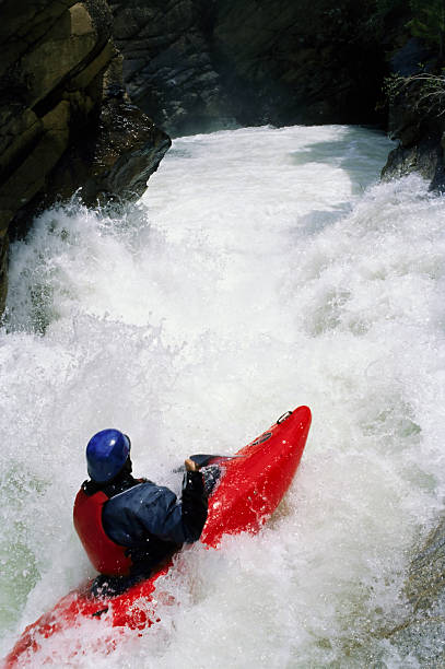
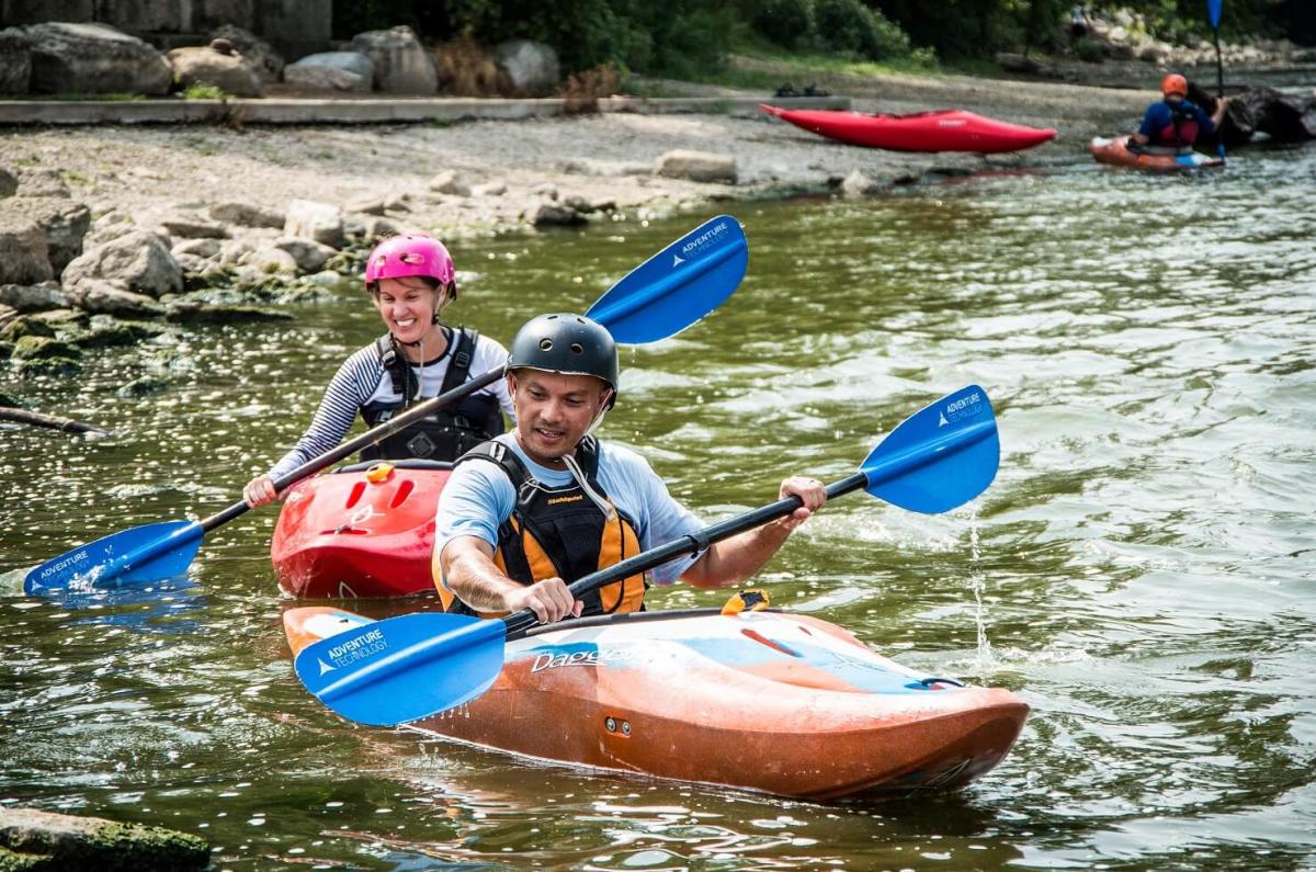
Whitewater Map
Explore rapids, waterfalls, playspots, hazards, and portages across the United States
24,753
Total Features
21,352
Rapids
855
Waterfalls
927
Playspots
1,513
Hazards
106
Portages
Click a category above to filter the map and list
Loading...
Map Legend
Rapids
Waterfalls
Playspots
Hazards
Portages
Rivers
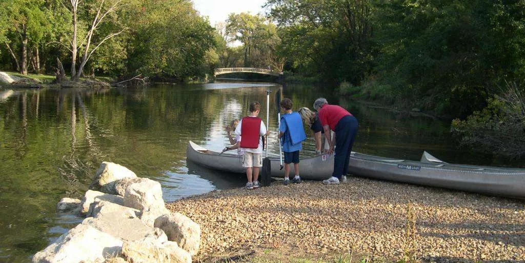
Illinois 48 features
Drainage: 63 sq.mi.
Rapid
N/A

Golf Cart Bridge
Rapid
Hang Ten Knuckles
Rapid
N/A
Hwy.23 (E.17th Rd/1st Ave.)
Rapid
N.2501st Road
Rapid
Powerline
Rapid
Put In
Rapid
N/A

Railroad Bridge
Rapid
Shooting Range
Rapid
N/A
Shooting Range
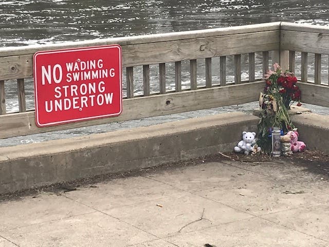
Hazard
II-

Take Out
Rapid
N/A

The Oyster Wave
Rapid
II+
Wing Man Wave
Rapid
II+
Access for park-and-play
Playspot
N/A
Drainage: 699 sq.mi.
Rapid
N/A
Mt.Prospect: Dam #2 (REMOVED)
Rapid
N/A

Put In
Rapid
N/A
Put In
Rapid
N/A

Riverside: Dam (REMOVED)
Playspot
I
Take Out
Rapid
N/A

Take Out
Rapid
N/A
Wheeling: Dam#1 (REMOVED)
Rapid
N/A
215th Street / W.Mound Rd
Rapid
N/A
Beautification Dam At Turtle Hill Park
Playspot
I
Former site of Hammel Woods Dam (now removed!)
Hazard
N/A
I-80 Bridge
Rapid
N/A

Islands
Rapid
N/A
McEvilly Road (Hwy.32) Access
Rapid
I
Narrows
Rapid
I
Put In Parking (Hammel Woods Campground, Dog Park, and Du Page River Access)
Rapid
N/A
Put-in
Rapid
N/A
Railroad
Rapid
I
Riffles and Fishet
Rapid
I
River Crossing Drive
Rapid
N/A
Rock Dam (Shoals)
Rapid
I
S-Turn
Playspot
I
Seil Road / Seil Road Park / Large Island
Rapid
I
Shepley Road (! ACCESS ISSUES !)
Rapid
I
Small Ledge
Rapid
I+
Drainage: 5.3 sq.mi.
Rapid
N/A
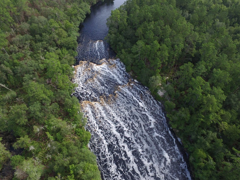
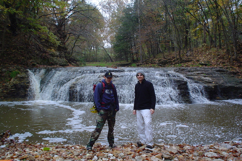
Lower Falls (~6')
Rapid
N/A
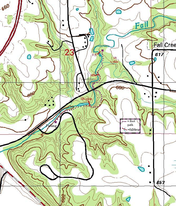
Map showing trail to Upper Falls (Put-in)
Rapid
N/A
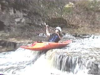
Middle Falls (~4')
Rapid
II

Sidecreek Bonus Falls
Rapid
II
Take Out
Rapid
N/A
Upper Falls (~9')
Rapid
N/A
Alternate take-out
Rapid
N/A
Babson Lane Bobble
Rapid
N/A