Whitewater Features
Explore mapped rapids, waterfalls, playspots, hazards, and portages across the United States.
24,753
Total Features
21,352
Rapids
855
Waterfalls
927
Playspots
1,513
Hazards
106
Portages
Choose a category to filter the map and list.
Map view
Whitewater features at a glance
Use category totals as filters, then open a marker for feature and river context.
Loading...
Map Legend
Rapids
Waterfalls
Playspots
Hazards
Portages
Rivers
Directory results
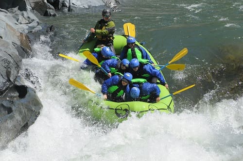
Rapids and river features
Difficulty and feature badges summarize the available source record.
California 24 features

Take Out
Rapid
N/A
Take Out
Rapid
N/A

Take-out
Rapid
N/A
Thread the Needle
Rapid
III
Turlock Lake State Park Campgrounds
Rapid
Wards Ferry Bridge
Rapid
N/A
Weeping Wall
Rapid
I
Abernathy Meadow Take Out
Rapid
N/A
Put In 1/2 mi downstream of Yosemite Park boundary
Rapid
N/A
Spur Rd Parking
Rapid
N/A
Put In
Rapid
N/A
Take Out
Rapid
N/A

Put In
Rapid
N/A

Take Out
Rapid
N/A
Put In
Rapid
N/A

Put-in
Rapid
N/A

Take Out
Rapid
N/A
Take-out
Rapid
N/A
Big Cut Road
Rapid
N/A
Cold Springs Road
Rapid
N/A
Forni Road
Rapid
N/A
Green Valley Road
Rapid
N/A
Highway 49 bridge
Rapid
N/A
Highway 50 bridge
Rapid
N/A