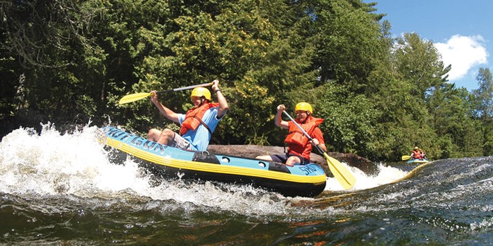
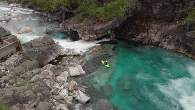
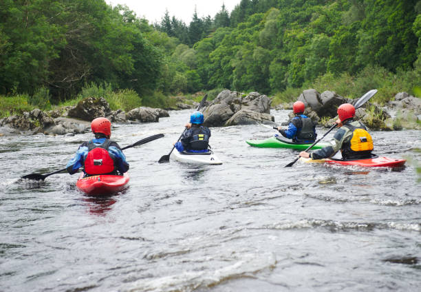
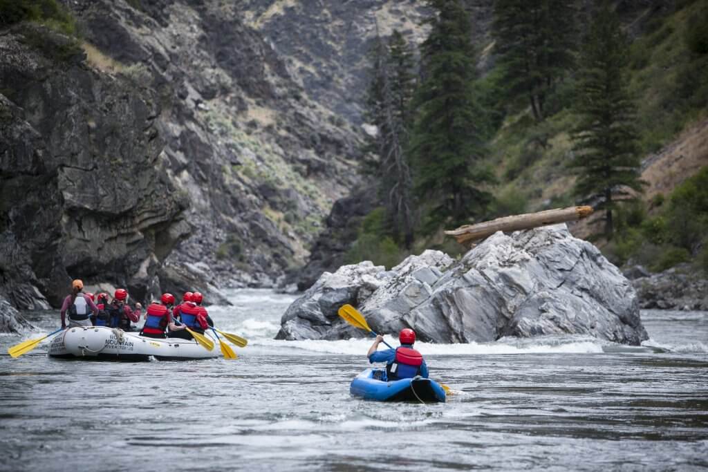
Whitewater Map
Explore rapids, waterfalls, playspots, hazards, and portages across the United States
24,753
Total Features
21,352
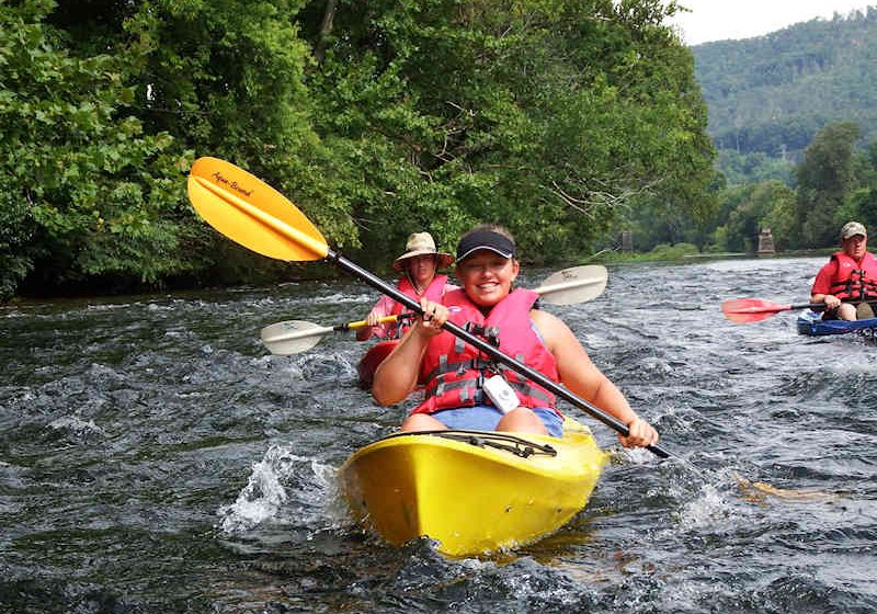
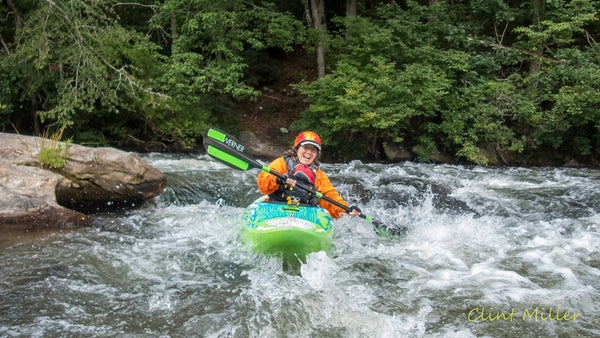
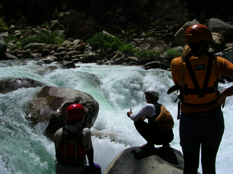
Rapids
855
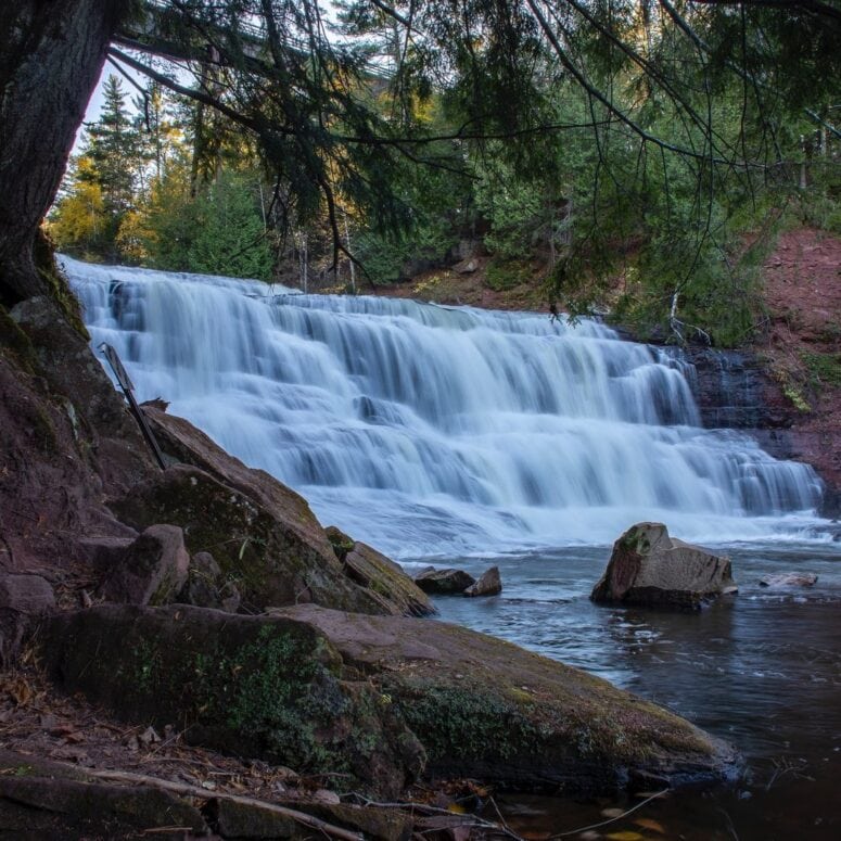
Waterfalls
927
Playspots
1,513
Hazards
106
Portages
Click a category above to filter the map and list
Loading...
Map Legend
Rapids
Waterfalls
Playspots
Hazards
Portages
Rivers
Michigan 48 features
Net River Road
Rapid
I
Net River Road
Rapid
N/A
NOT Chipmunk Falls
Rapid
N/A

Put In
Rapid
N/A
Second Narrows
Rapid
II
Snake Rapids (really)
Rapid
II
Take Out
Rapid
N/A
Third Narrows
Rapid
I
USGS sampling site
Rapid
N/A
USGS sampling site, W.Br.
Rapid
N/A
Drainage: 69 sq.mi.
Rapid
N/A

Ocqueoc Falls
Playspot
N/A
Put In
Rapid
N/A
Take Out
Rapid
N/A
Grand Rapids
Rapid
possible falls/rapids?
Rapid
N/A

Put In
Rapid
N/A
Take-out: FS6930
Rapid
Wolverine Falls (marked)
Rapid
N/A

Confluence Squirt Spot
Playspot
N/A

Put In
Rapid
N/A
Take Out
Rapid
N/A
USGS Sampling Site
Rapid
N/A
A note about gauging flows in this stretch:
Rapid
N/A
Action increases
Rapid
N/A
Agate Falls
Hazard
N/A
Apparent rapids
Rapid
N/A
building (house? barn?) river-right
Rapid
N/A
CC Road
Rapid
N/A
Confluence Trout Creek
Rapid
N/A
Confluence with Baltimore River
Rapid
N/A

Confluence, Cute Creek
Rapid
N/A

Confluence, Darling Creek
Rapid
N/A
Confluence, East Branch
Rapid
N/A

Confluence, Longtime Creek
Rapid
N/A

Confluence, McGinty Creek
Rapid
N/A
Confluence, Payne Creek
Rapid
N/A

Confluence, Spring Creek
Rapid
N/A

Confluence, Tom Creek
Rapid
N/A
Decent gradient
Rapid
N/A
Final Sequence
Rapid
N/A
Horseshoe Bend
Rapid
N/A
House (barn?), river-right
Rapid
N/A
House/cabin, river-left
Rapid
N/A
House/cabin, river-right
Rapid
N/A
House/cabin, river-right
Rapid
N/A
House/cabin, river-right
Rapid
N/A
House/cabin, river-right
Rapid
N/A