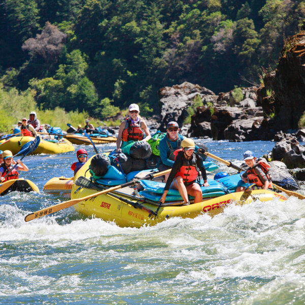
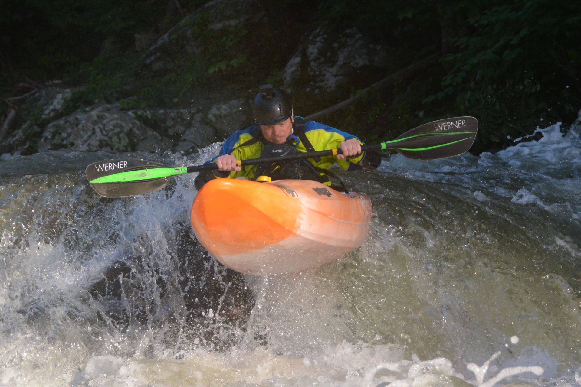
24,753
Total Features
21,352
Rapids
855
Waterfalls
927
Playspots
1,513
Hazards
106
Portages

Click a category above to filter the map and list

Loading...

Map Legend

Rapids
Waterfalls
Playspots
Hazards
Portages
Rivers

Michigan 48 features

Hwy.28 Wayside

Ontonagon, M.Br. - C) below Agate Falls (Hwy.28) to Hwy.45 (28.7 miles)
Rapid N/A

Increased action

Ontonagon, M.Br. - B) below Bond Falls to Hwy.28 (8.4 miles)
Rapid N/A

Initial Sequence

Ontonagon, M.Br. - B) below Bond Falls to Hwy.28 (8.4 miles)
Rapid N/A

Interior Road (5250), USGS gauge (164 square miles)

Ontonagon, M.Br. - A) Burned Dam CG to Bond Falls Flowage (6.4-11.5 miles)
Rapid N/A

Island

Ontonagon, M.Br. - B) below Bond Falls to Hwy.28 (8.4 miles)
Rapid N/A

Islands/logjams

Ontonagon, M.Br. - B) below Bond Falls to Hwy.28 (8.4 miles)
Rapid N/A

Ledge/wave?

Ontonagon, M.Br. - C) below Agate Falls (Hwy.28) to Hwy.45 (28.7 miles)
Rapid N/A

Little Falls

Ontonagon, M.Br. - A) Burned Dam CG to Bond Falls Flowage (6.4-11.5 miles)
Rapid II

Log Jam

Ontonagon, M.Br. - C) below Agate Falls (Hwy.28) to Hwy.45 (28.7 miles)
Rapid N/A

Log Jam 2 / Meto Creek

Ontonagon, M.Br. - C) below Agate Falls (Hwy.28) to Hwy.45 (28.7 miles)
Rapid N/A

Log Jam Concern #3

Ontonagon, M.Br. - C) below Agate Falls (Hwy.28) to Hwy.45 (28.7 miles)
Rapid N/A

Log Jam Concern #4

Ontonagon, M.Br. - C) below Agate Falls (Hwy.28) to Hwy.45 (28.7 miles)
Rapid N/A

Log Jam Concern #5

Ontonagon, M.Br. - C) below Agate Falls (Hwy.28) to Hwy.45 (28.7 miles)
Rapid N/A

Minor rips

Ontonagon, M.Br. - A) Burned Dam CG to Bond Falls Flowage (6.4-11.5 miles)
Rapid N/A

N.Paynesville Road

Ontonagon, M.Br. - C) below Agate Falls (Hwy.28) to Hwy.45 (28.7 miles)
Rapid N/A

Nice half-mile rips

Ontonagon, M.Br. - A) Burned Dam CG to Bond Falls Flowage (6.4-11.5 miles)
Rapid N/A

North Country National Scenic Trail

Ontonagon, M.Br. - C) below Agate Falls (Hwy.28) to Hwy.45 (28.7 miles)
Rapid N/A

Possible access/egress?

Ontonagon, M.Br. - C) below Agate Falls (Hwy.28) to Hwy.45 (28.7 miles)
Rapid N/A

Possible/apparent set of ledges/waves/holes

Ontonagon, M.Br. - C) below Agate Falls (Hwy.28) to Hwy.45 (28.7 miles)
Rapid N/A

Powerline Clearing

Ontonagon, M.Br. - C) below Agate Falls (Hwy.28) to Hwy.45 (28.7 miles)
Rapid N/A
Put In

Put In

Ontonagon, M.Br. - A) Burned Dam CG to Bond Falls Flowage (6.4-11.5 miles)
Rapid N/A
Put In

Put In

Ontonagon, M.Br. - C) below Agate Falls (Hwy.28) to Hwy.45 (28.7 miles)
Rapid N/A
Put In

Put In

Ontonagon, M.Br. - B) below Bond Falls to Hwy.28 (8.4 miles)
Rapid N/A

Rapids

Ontonagon, M.Br. - C) below Agate Falls (Hwy.28) to Hwy.45 (28.7 miles)
Rapid N/A

SNAG CITY!

Ontonagon, M.Br. - B) below Bond Falls to Hwy.28 (8.4 miles)
Rapid N/A
Take Out

Take Out

Ontonagon, M.Br. - C) below Agate Falls (Hwy.28) to Hwy.45 (28.7 miles)
Rapid N/A
Take Out

Take Out

Ontonagon, M.Br. - B) below Bond Falls to Hwy.28 (8.4 miles)
Rapid N/A
Take Out

Take Out

Ontonagon, M.Br. - A) Burned Dam CG to Bond Falls Flowage (6.4-11.5 miles)
Rapid N/A

Upstream Reach

Ontonagon, M.Br. - B) below Bond Falls to Hwy.28 (8.4 miles)
Rapid N/A

USGS samping site

Ontonagon, M.Br. - C) below Agate Falls (Hwy.28) to Hwy.45 (28.7 miles)
Rapid N/A

very minor rips

Ontonagon, M.Br. - A) Burned Dam CG to Bond Falls Flowage (6.4-11.5 miles)
Rapid N/A

Wave/hole

Ontonagon, M.Br. - C) below Agate Falls (Hwy.28) to Hwy.45 (28.7 miles)
Rapid II+
Waves/holes

Waves/holes

Ontonagon, M.Br. - C) below Agate Falls (Hwy.28) to Hwy.45 (28.7 miles)
Rapid N/A

Backwaters, Victoria Reservoir

Ontonagon, S.Br. - Hwy.28 (in Ewen) to W Br Ontonagon (26.5 miles)
Rapid N/A

Confluence, Farmer Creek / Three Islands

Ontonagon, S.Br. - Hwy.28 (in Ewen) to W Br Ontonagon (26.5 miles)
Rapid N/A

Flannigan Rapids

Ontonagon, S.Br. - Hwy.28 (in Ewen) to W Br Ontonagon (26.5 miles)
Rapid N/A

Flannigan Rapids ends

Ontonagon, S.Br. - Hwy.28 (in Ewen) to W Br Ontonagon (26.5 miles)
Rapid N/A

Islands / Confluence W.Br.

Ontonagon, S.Br. - Hwy.28 (in Ewen) to W Br Ontonagon (26.5 miles)
Rapid N/A

Low-grade rapids

Ontonagon, S.Br. - Hwy.28 (in Ewen) to W Br Ontonagon (26.5 miles)
Rapid N/A
Put In

Put In

Ontonagon, S.Br. - Hwy.28 (in Ewen) to W Br Ontonagon (26.5 miles)
Rapid N/A

Scattered rips

Ontonagon, S.Br. - Hwy.28 (in Ewen) to W Br Ontonagon (26.5 miles)
Rapid N/A

Steep eroded bank

Ontonagon, S.Br. - Hwy.28 (in Ewen) to W Br Ontonagon (26.5 miles)
Rapid N/A
Take Out

Take Out

Ontonagon, S.Br. - Hwy.28 (in Ewen) to W Br Ontonagon (26.5 miles)
Rapid N/A

USGS Sampling Site

Ontonagon, S.Br. - Hwy.28 (in Ewen) to W Br Ontonagon (26.5 miles)
Rapid N/A

Confluence S.Br.

Ontonagon, W.Br. - A) Norwich Rd to Victoria Falls Dam (13.4 miles)
Rapid N/A

end of major gradient

Ontonagon, W.Br. - B) Victoria Falls dam to Victoria Dam Rd. (5.3 miles)
Rapid N/A
Put In

Put In

Ontonagon, W.Br. - A) Norwich Rd to Victoria Falls Dam (13.4 miles)
Rapid N/A

Reservoir

Ontonagon, W.Br. - A) Norwich Rd to Victoria Falls Dam (13.4 miles)
Rapid N/A
« Prev1...187188189190191...516Next »