Whitewater Map
Explore rapids, waterfalls, playspots, hazards, and portages across the United States
24,753
Total Features
21,352
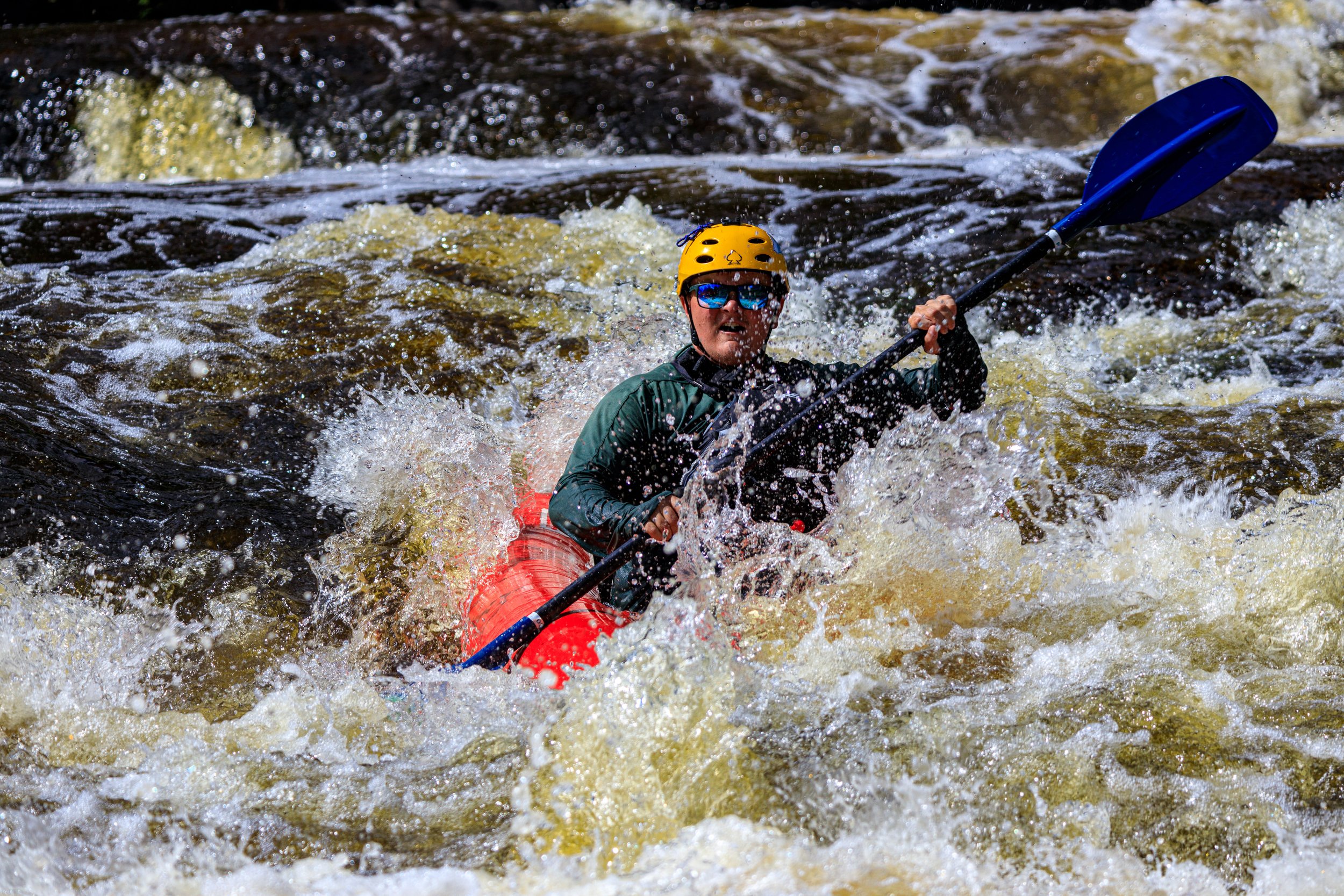
Rapids
855
Waterfalls
927
Playspots
1,513
Hazards
106
Portages
Click a category above to filter the map and list
Loading...
Map Legend
Rapids
Waterfalls
Playspots
Hazards
Portages
Rivers
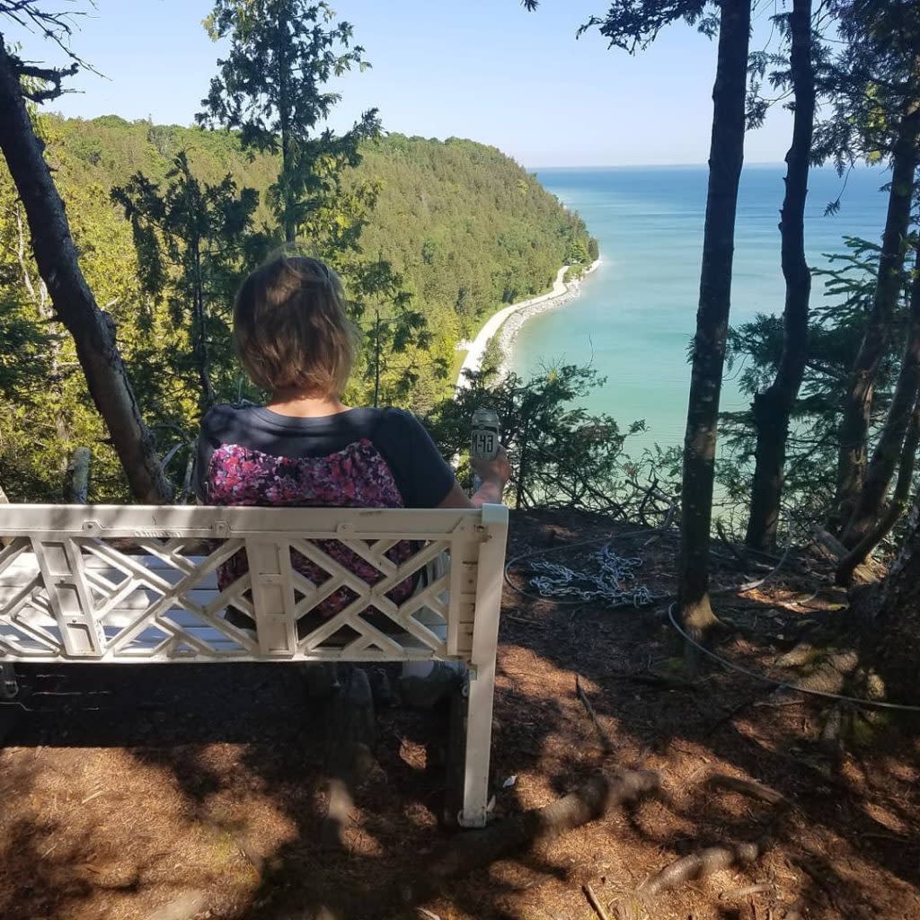
Michigan 48 features
Island/Rips
Rapid
N/A
Possible minor rips
Rapid
N/A
Possible minor rips #3
Rapid
N/A
Possible minor rips #4
Rapid
N/A
Possible obstruction/shoals
Rapid
N/A
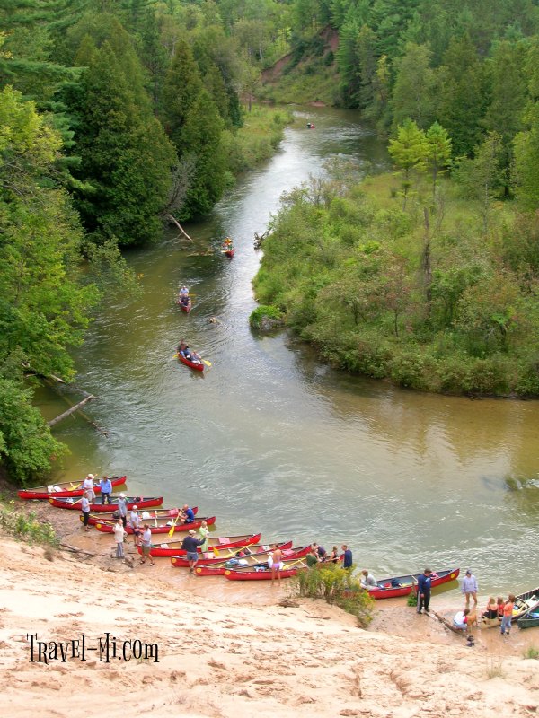
Put In
Rapid
N/A

Put In
Rapid
N/A
S.Mackinac Trail Rips
Playspot
N/A

Take Out
Rapid
N/A
Take Out
Rapid
N/A
"Root Beer Falls"
Rapid
N/A
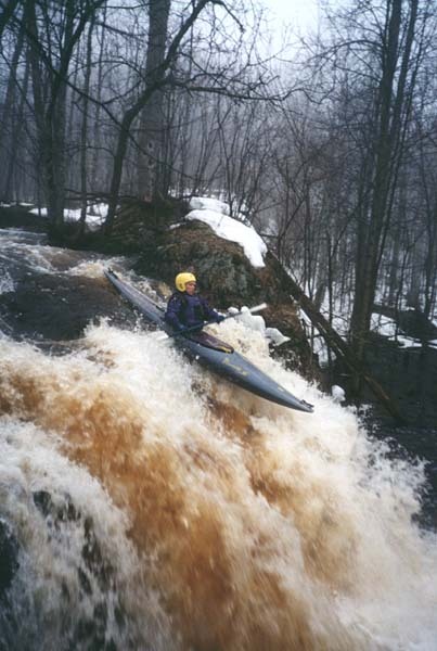
Cashew Falls
Waterfall
IV
Confluence, Jackson Creek
Rapid
N/A
Drainage area ~25 square miles.
Rapid
N/A
Drainage area ~28 square miles.
Rapid
N/A
Powerline Crossing
Rapid
N/A

Put In
Rapid
N/A

Put In
Rapid
N/A
Railroad Embankment
Rapid
N/A
RR Crossing
Rapid
N/A

Take Out
Rapid
N/A
Take Out
Rapid
N/A
Wertanen Road, 1st Encounter
Rapid
N/A
Wertanen Road, 2nd Encounter
Rapid
N/A

Put In
Rapid
N/A
Take Out
Rapid
N/A
USGS sampling site
Rapid
N/A
begin increased gradient
Rapid
N/A
Big Rock
Rapid
N/A
Confluence with Copper Creek
Rapid
N/A
end of Yondota Falls sequence
Rapid
N/A
Iagoo Falls
Waterfall
III+
Lepisto Falls
Waterfall
III+
Manabezho Falls
Waterfall
IV
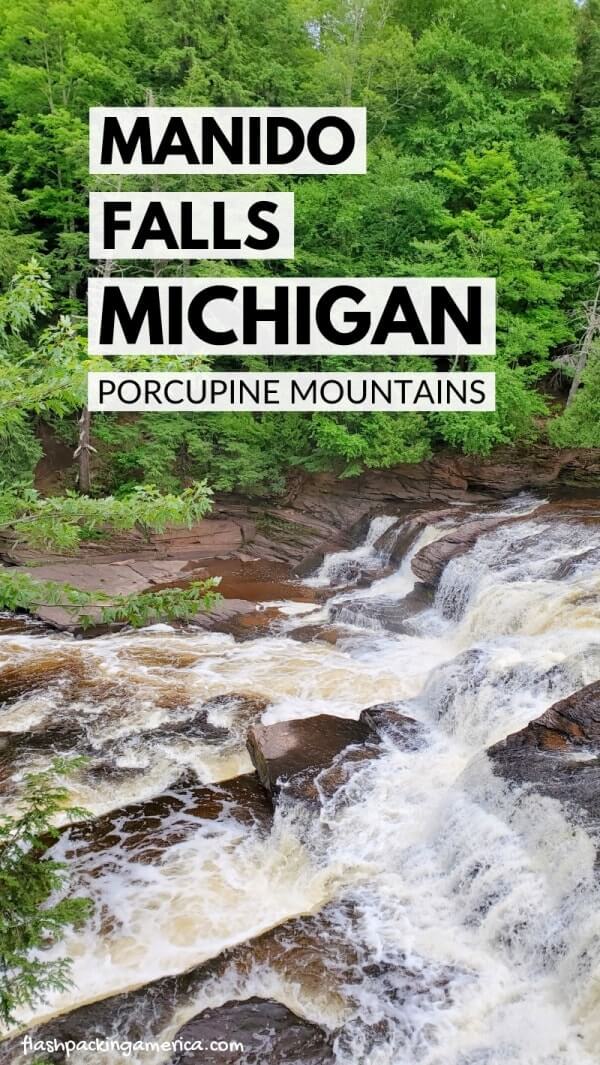
Manido Falls
Waterfall
IV

Minnewawa Falls
Waterfall
N/A
Nakomis Falls
Waterfall
III+
Nawadaha Falls
Waterfall
IV

Nimikon Falls
Waterfall
N/A
Put In
Rapid
N/A
Put In
Rapid
N/A

Put In
Rapid
N/A
Put In
Rapid
N/A
rapids sequence #1
Rapid
N/A

rapids sequence #2
Rapid
N/A
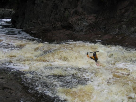
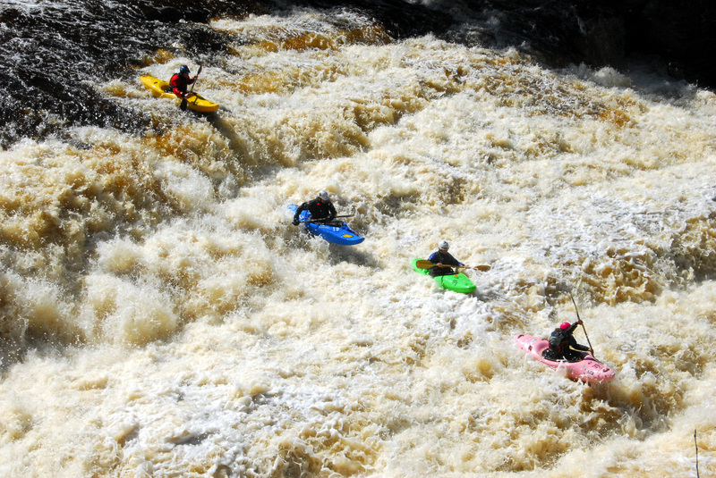
Swinging Bridge (Zoom Flume)
Rapid
IV
Take Out
Rapid
N/A

Take Out
Rapid
N/A