Whitewater Map
Explore rapids, waterfalls, playspots, hazards, and portages across the United States
24,753
Total Features
21,352
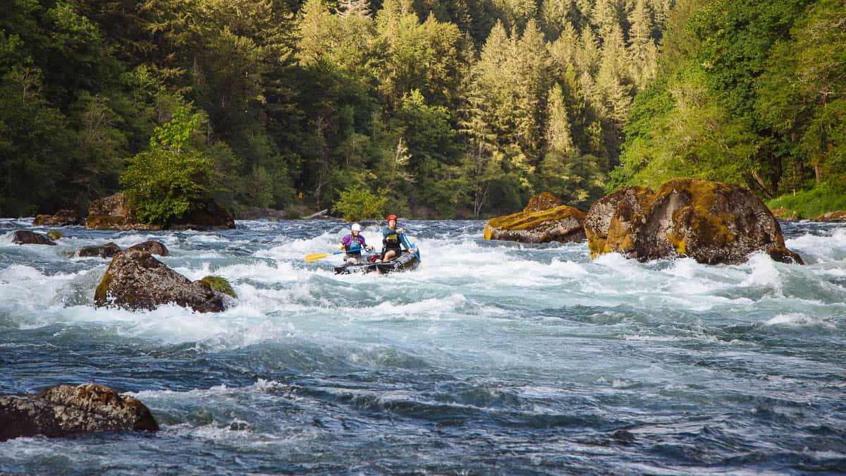
Rapids
855
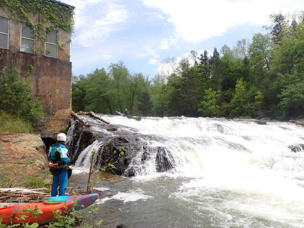
Waterfalls
927
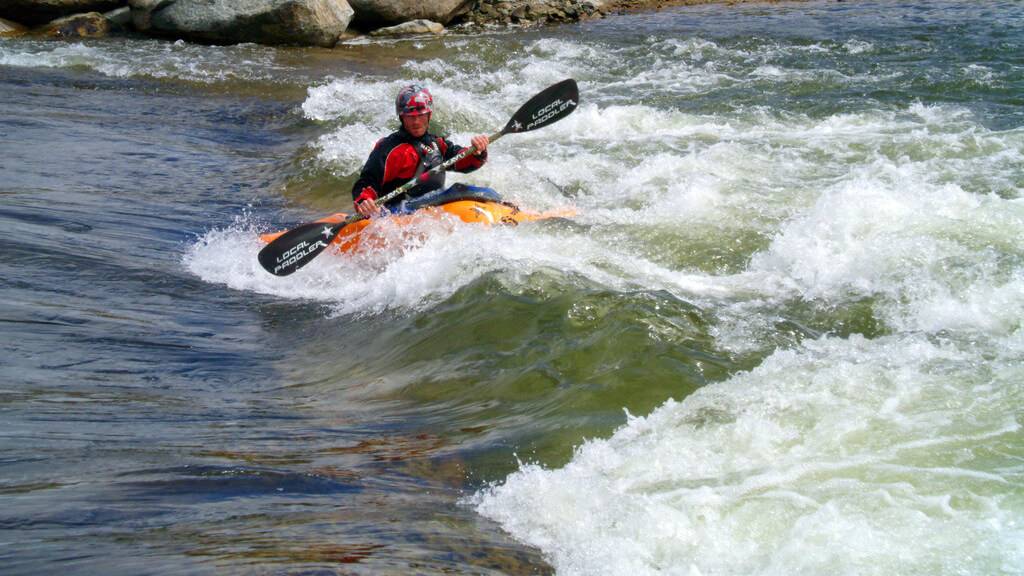
Playspots
1,513
Hazards
106
Portages
Click a category above to filter the map and list
Loading...
Map Legend
Rapids
Waterfalls
Playspots
Hazards
Portages
Rivers
Michigan 48 features
Take Out
Rapid
N/A
Take Out: Copps Mine Road
Rapid
N/A
Triple Drop
Waterfall
IV
USGS sampling site
Rapid
N/A
USGS site
Rapid
N/A
USGS site
Rapid
N/A
32 Road
Rapid
N/A
35 Road
Rapid
N/A
CR I-18
Rapid
N/A
E.Maple Ridge Road
Rapid
N/A

Hwy.41
Rapid
N/A

Put In
Rapid
N/A
Rapid River Falls
Playspot
III
South River Road
Rapid
N/A
Take Out
Rapid
N/A

US2
Rapid
N/A
Drainage area ~9.75 square miles.
Rapid
N/A
possible short-run take-out
Rapid
N/A

Put In
Rapid
N/A
Take Out
Rapid
N/A
Entrance Wave
Rapid
N/A
Gauge location
Rapid
N/A

Gauge: 163 sq.mi.
Rapid
N/A
Put In
Rapid
N/A

Put In
Rapid
N/A
Take Out
Rapid
N/A
Take Out
Rapid
N/A
Zag
Rapid
N/A
Zig
Rapid
N/A
Confluence with Sturgeon River
Rapid
N/A
Hwy.41 / USGS site / Alternate put-in/take-out
Rapid
N/A
LOW BRIDGE!
Hazard
N/A
Main (largest) drop
Rapid
III+
Put In: Old Michigan 28
Rapid
N/A
Take Out
Rapid
N/A
Childsdale Dam
Rapid
N/A
Put In: Richardson-Sowerby Park
Rapid
N/A

Take Out
Rapid
N/A
Approximate HMC Boundary
Hazard
N/A
Approximate HMC Boundary
Hazard
N/A
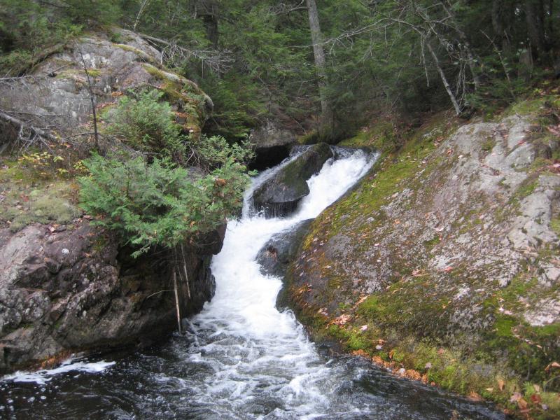
Hogback Falls
Waterfall
N/A
Lower Falls
Waterfall
N/A
Middle Falls
Waterfall
N/A
Put In: Northwestern Road at W.Br.Salmon Trout
Rapid
N/A

Take Out
Rapid
N/A
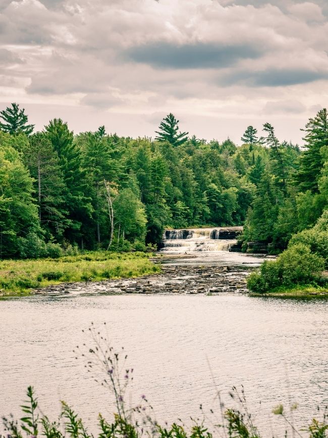
Upper Falls
Waterfall
N/A
USGS Gauge
Rapid
N/A
Put In
Rapid
N/A