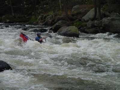
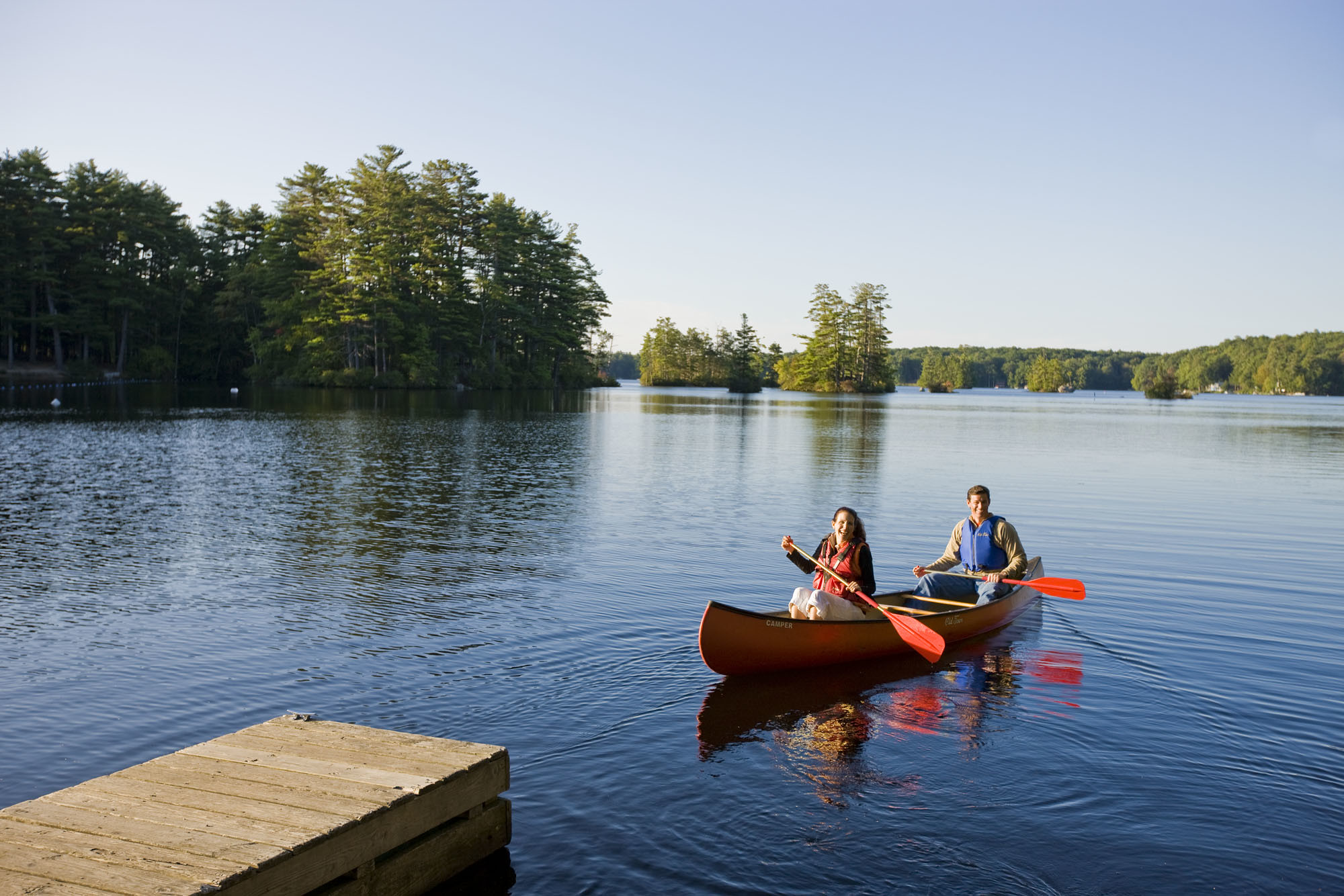
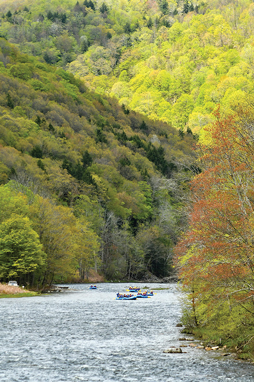
Whitewater Map
Explore rapids, waterfalls, playspots, hazards, and portages across the United States
24,753
Total Features
21,352
Rapids
855
Waterfalls
927
Playspots
1,513
Hazards
106
Portages
Click a category above to filter the map and list
Loading...
Map Legend
Rapids
Waterfalls
Playspots
Hazards
Portages
Rivers
New Hampshire 48 features

Take Out
Rapid
N/A
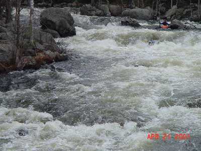
Gorge-Us
Rapid
III

Put In
Rapid
N/A
Take Out
Rapid
N/A
Boffinger
Rapid
II

Dam View rapids
Rapid
II
Landslide
Hazard
II+
Powerline
Rapid
II

Put In
Rapid
N/A
Put In
Rapid
N/A
Road View rapids
Rapid
II

Take Out
Rapid
N/A
Take Out
Rapid
N/A
Alternate Put In
Rapid
N/A
Alternate Take Out
Rapid
N/A
Gilsum Gorge
Rapid
IV

Put In
Rapid
N/A

Put In
Rapid
N/A

Put In
Rapid
N/A
Section 1
Rapid
II
Section 2
Rapid
III
Section 3
Rapid
III+

Surprise
Rapid
IV

Take Out
Rapid
N/A
Take Out
Rapid
N/A

Take Out
Rapid
N/A
Put In
Rapid
N/A

Take Out
Rapid
N/A

Put In
Rapid
N/A

Take Out
Rapid
N/A
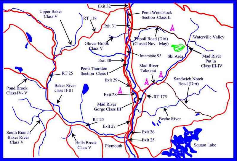
Map of the Mid Pemi region
Rapid
Map of the Mid Pemi region
Rapid
Map of the Mid Pemi region
Rapid
Bearcamp Dam
Rapid
II
Bearcamp Gorge
Waterfall
IV

Bennett
Rapid
III
Cold Brook Rapid
Rapid
III+
Ossipee Surf
Playspot
II+

Put In
Rapid
N/A

Take Out
Rapid
N/A
USGS
Rapid
III
Whittier
Rapid
III

Put In
Rapid
N/A

Take Out
Rapid
N/A
A rapid
Playspot
III+
Clothespin Bridge
Waterfall
IV
Eggbeater
Rapid
IV
Horrendous
Waterfall
V