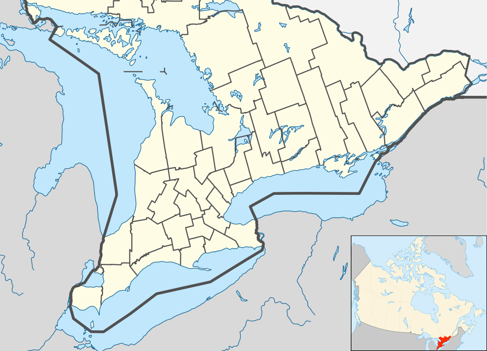
Whitewater Map
Explore rapids, waterfalls, playspots, hazards, and portages across the United States
24,753
Total Features
21,352
Rapids
855
Waterfalls
927
Playspots
1,513
Hazards
106
Portages
Click a category above to filter the map and list
Loading...
Map Legend
Rapids
Waterfalls
Playspots
Hazards
Portages
Rivers
Wisconsin 48 features
Put In
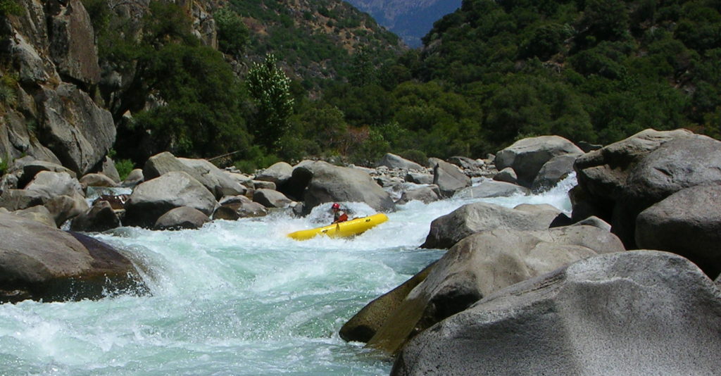
Rapid
N/A
Rapids
Waterfall
N/A

Rapids
Rapid
N/A
Rapids
Rapid
N/A
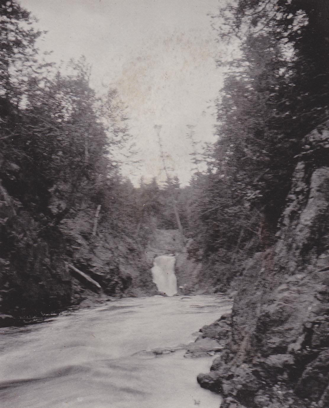
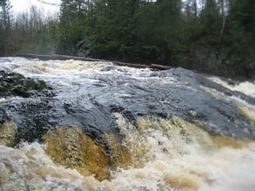
Snake Pit Falls
Waterfall
IV+
Take Out
Rapid
N/A
Tri-County Corridor Bridge
Rapid
N/A
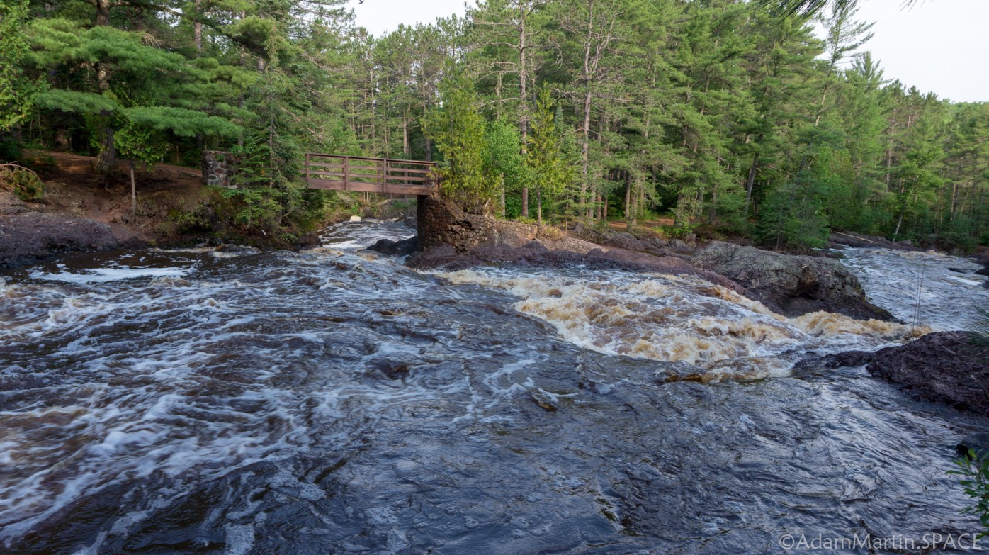
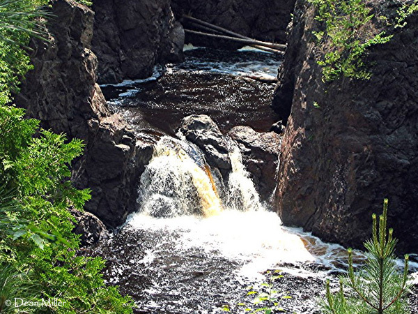
Upper Falls
Waterfall
IV+

Apple River Falls
Playspot
II+
Drainage: ~290 sq.mi.
Rapid
N/A
Drainage: 545 sq.mi.
Rapid
N/A
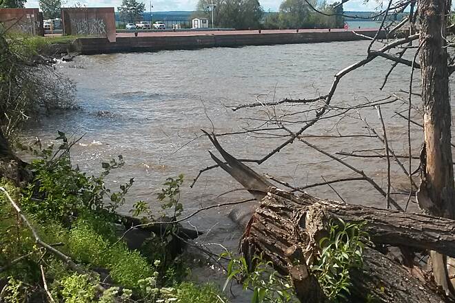
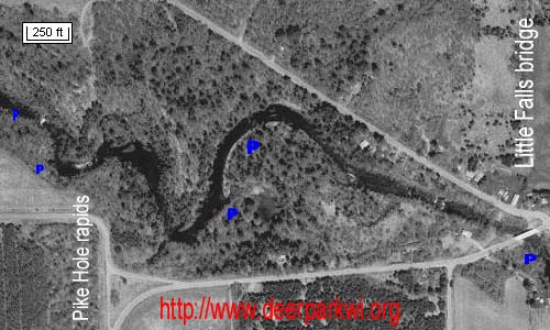
Little Falls
Rapid
N/A

Pike Hole
Playspot
II

Put In
Rapid
N/A

Put In
Rapid
N/A

Put In
Rapid
N/A

Take Out
Rapid
N/A
Take Out
Rapid
N/A

Take Out
Rapid
N/A
USGS sampling site
Rapid
N/A
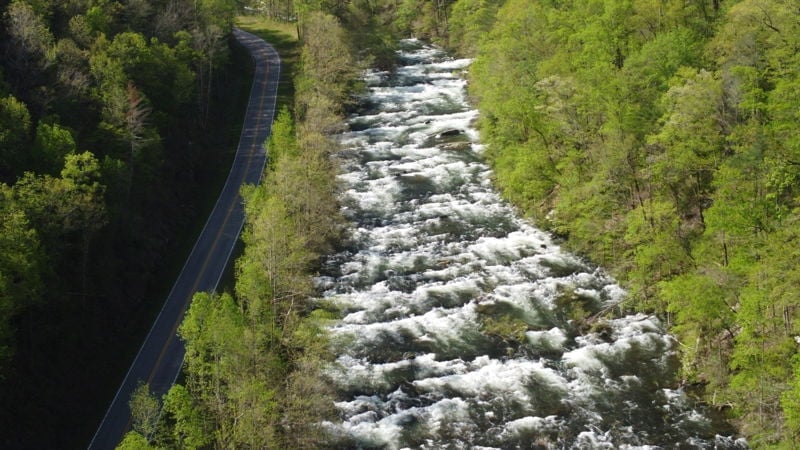
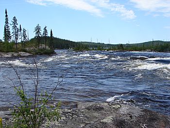
Bad River Canyon
Hazard
N/A
Boulderbed Resumes
Rapid
N/A
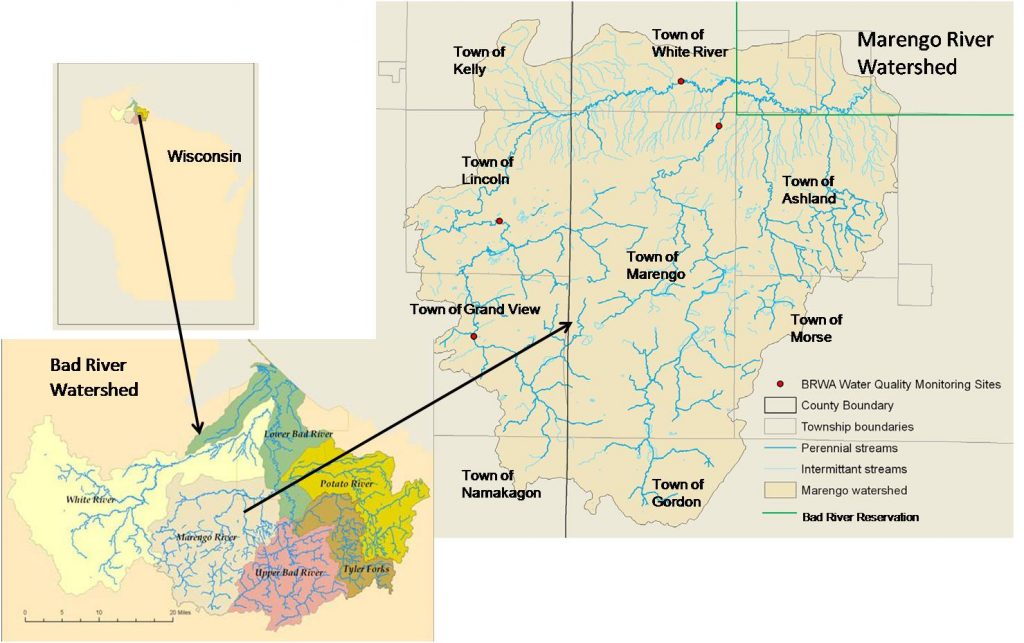
Confluence, Marengo River
Rapid
N/A
Confluence, Potato River
Rapid
N/A
Confluence, Tyler Forks
Rapid
N/A
Conley Road: 82 sq.mi.
Rapid
N/A
Cool-down Rapids
Hazard
III
Copper Falls
Waterfall
IV+
Devil's Gate Footbridge: 213 sq.mi.
Rapid
N/A
Drainage: ~51 sq.mi.
Rapid
N/A

Drainage: 213 sq.mi.
Rapid
N/A
Drainage: 960 sq.mi.
Rapid
N/A
Elm Hoist Road: 597 sq.mi.
Rapid
N/A

Fifth RR Bridge
Rapid
N/A
First Ledge Sequence
Rapid
N/A

First RR Bridge
Rapid
N/A

Footbridge
Rapid
N/A
Fourth RR Bridge
Rapid
N/A
High Wall
Rapid
N/A
High Wall
Rapid
N/A
Hwy.169: 105.5 sq.mi.
Rapid
N/A
Indian Reservation Boundary
Hazard
N/A
Last evident possible egress
Rapid
N/A
Ledge/wave
Rapid
N/A
Ledge/wave
Rapid
N/A
Ledge/wave
Rapid
N/A
Ledge/wave
Rapid
N/A
Left Tongue Drop
Waterfall
III