Whitewater Map
Explore rapids, waterfalls, playspots, hazards, and portages across the United States
24,753
Total Features
21,352
Rapids
855
Waterfalls
927
Playspots
1,513
Hazards
106
Portages
Click a category above to filter the map and list
Loading...
Map Legend
Rapids
Waterfalls
Playspots
Hazards
Portages
Rivers
Wisconsin 48 features
Riley Road
Rapid
N/A
Start of Badfish River
Rapid
N/A
Sunrise Road
Rapid
N/A
Take Out: N.Casey Road
Rapid
N/A
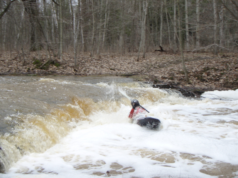
First Ledge
Rapid
II+
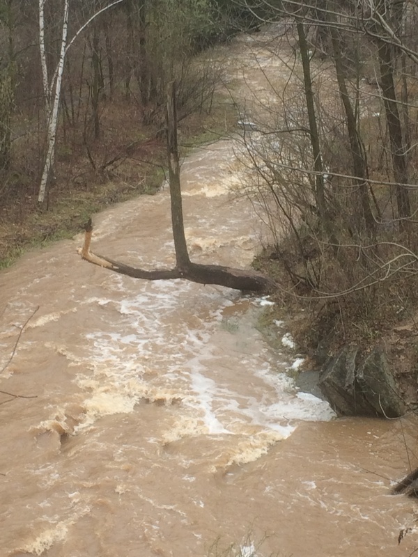
OVERHANGING TREE!!!
Hazard
N/A
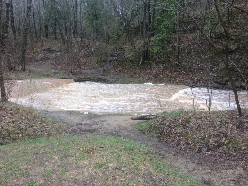
Parking Lot Ledge
Playspot
II
Put In
Rapid
N/A
Railroad Ledge
Playspot
II
Second Ledge
Rapid
II
Snags
Hazard
N/A
Strainers
Hazard
N/A
Sweepers
Hazard
N/A
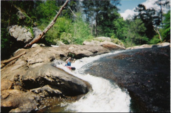
The Rock Wall
Rapid
N/A
Alternate Take-Out
Rapid
N/A
Drainage: 562 sq.mi.
Rapid
N/A

Put In
Rapid
N/A
Take Out
Rapid
N/A
"Tom+Barb Forever" Bridge
Rapid
N/A
Arbiardi Chute (R-B-R-D: Red Barn Rock Dam)
Rapid
I
Beaver Street Weir
Playspot
I
Canary Road ******
Rapid
N/A
Caution!
Hazard
N/A
Center Street Weir and Shoals
Playspot
I

Cooper Street (ALT. In/Out)
Rapid
N/A
CTH.S
Rapid
N/A
Davis Street
Rapid
N/A
Hwy.151
Rapid
N/A
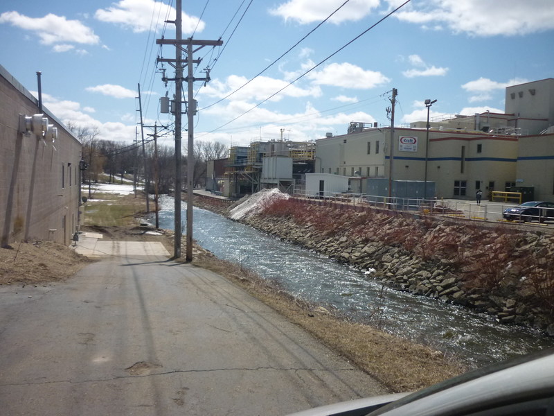
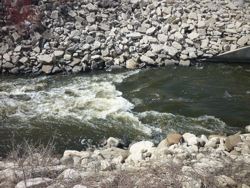
Kraft Waves
Playspot
I
Mill Street Wave ****
Playspot
II
Mini-park (primarily for fishing)
Rapid
N/A
Pearl Street Stormwater Pond
Rapid
N/A
Power Lines
Rapid
N/A
Put In
Rapid
N/A
Railroad Trestle
Rapid
N/A
Rickety Bridge / Wave ****
Playspot
II
Take Out
Rapid
N/A
Watertower Bend
Hazard
I
110th Street
Rapid
N/A
560th Ave.
Rapid
N/A
Great River Road (Hwy.35)
Rapid
N/A
Put In
Rapid
N/A

Take Out
Rapid
N/A
Upstream access?
Rapid
N/A
(more or less) End of Dells
Rapid
N/A
(more or less) Start of the Dells
Rapid
II+
Drainage: 131 sq.mi.
Rapid
N/A
Put In
Rapid
N/A