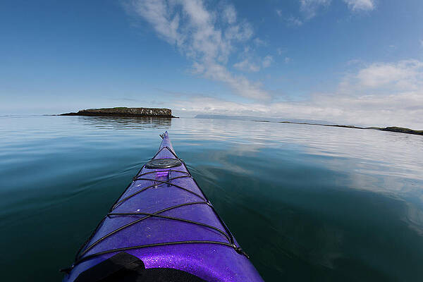
Whitewater Map
Explore rapids, waterfalls, playspots, hazards, and portages across the United States
24,753
Total Features
21,352
Rapids
855
Waterfalls
927
Playspots
1,513
Hazards
106
Portages
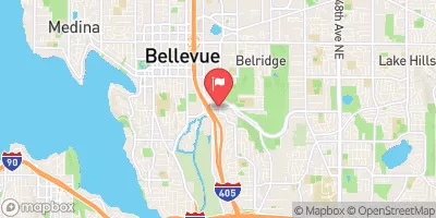
Click a category above to filter the map and list
Loading...
Map Legend
Rapids
Waterfalls
Playspots
Hazards
Portages
Rivers
Wisconsin 48 features
Highland Drive / Columbia Mills Dam (PORTAGE!)
Hazard
N/A
Island
Rapid
N/A
Last Hurrah
Playspot
II
Minor play wave
Playspot
N/A
Nail Factory Dam (~18.5')
Hazard
N/A
Put-in
Playspot
N/A
Railroad Waves
Playspot
II
Ruck Dam
Rapid
N/A
Squirt Spot
Playspot
N/A
Take-out (CTH.T/Lakefield Road)
Rapid
N/A
Up Against the Wall
Playspot
N/A
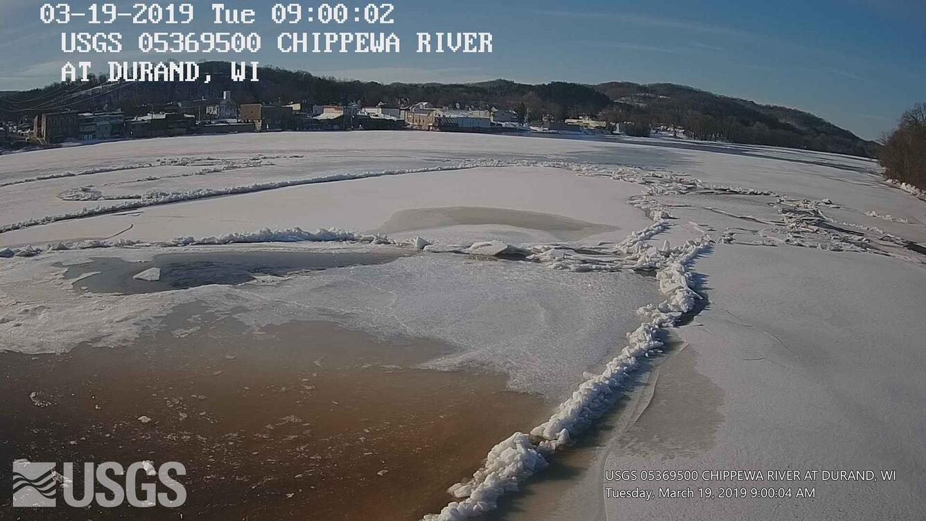
USGS gauge (120 sq.mi.)
Rapid
N/A
Water Quality Comment
Rapid
N/A
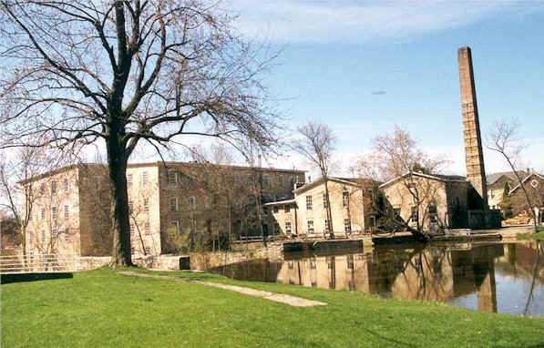
Woolen Mill Dam
Hazard
N/A

"FOC" (First Overflow Channel)
Playspot
N/A

"NOCC" (Narrow Overflow Connecting Channel)
Playspot
N/A

"ROC" (Rejoined Overflow Channel)
Playspot
N/A

"SOC" (Second Overflow Channel)
Rapid
N/A
2nd Rapids
Rapid
N/A
Alternate Put-In #2
Rapid
N/A
Belille Falls
Playspot
N/A
Big Drop (3rd Rapids)
Rapid
N/A
Brunet River
Rapid
N/A
Camping
Rapid
N/A
Couderay River
Rapid
N/A
Drainage area: 852 Sq.Mi.
Rapid
N/A
Final Drop
Rapid
N/A
First rapids
Rapid
N/A
Hydroplant
Rapid
N/A
Ledge #1 + Ledge #2
Rapid
N/A
Main Channel
Rapid
N/A
Main Ledge
Playspot
N/A
Outflow Wave(s)
Playspot
III+
Parking for Upper (Dam) Put-in
Rapid
N/A
Parking: Gravel Lot
Rapid
N/A
Parking: Put-in/Fishing Access
Rapid
N/A

Put In
Rapid
N/A
Put In
Rapid
N/A
Put-In Parking - "Old Abe" Wayside
Rapid
N/A
Random ledge/waves
Playspot
N/A
Sign in sheet location
Rapid
N/A
Stairs (Fishing Access)
Rapid
N/A
Stairs (Fishing Access)
Rapid
N/A

Take Out
Rapid
N/A
Take Out
Rapid
N/A

Take Out
Rapid
N/A
Take-out Parking
Rapid
N/A
USGS sampling site
Rapid
N/A