Whitewater Map
Explore rapids, waterfalls, playspots, hazards, and portages across the United States
24,753
Total Features
21,352
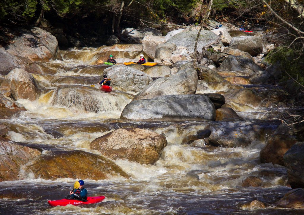
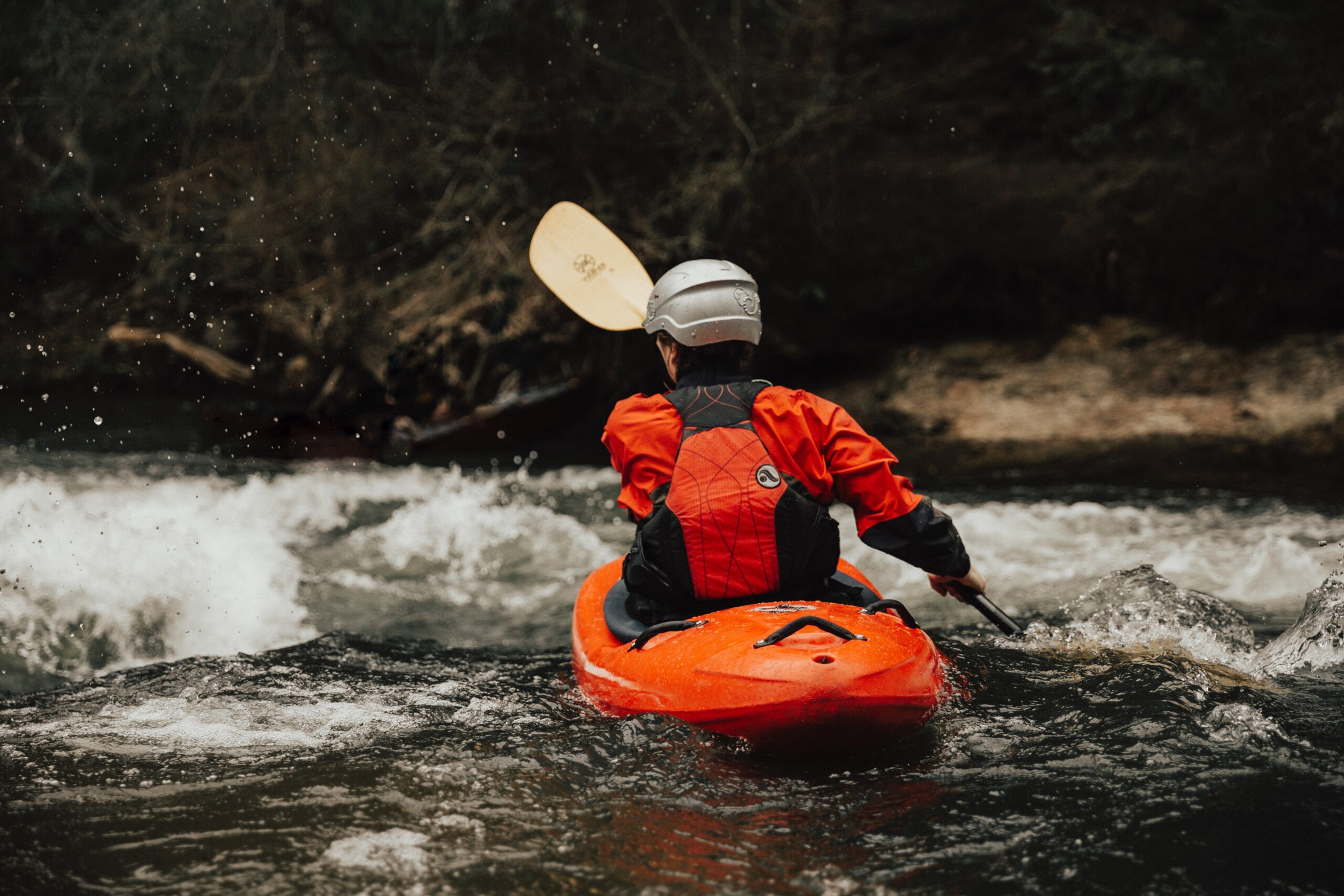
Rapids
855
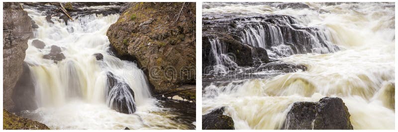
Waterfalls
927
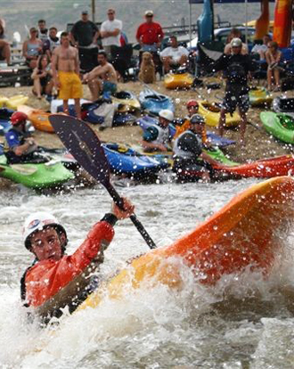
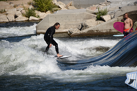
Playspots
1,513
Hazards
106
Portages
Click a category above to filter the map and list
Loading...
Map Legend
Rapids
Waterfalls
Playspots
Hazards
Portages
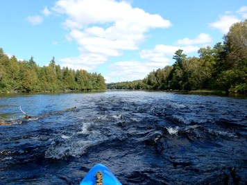
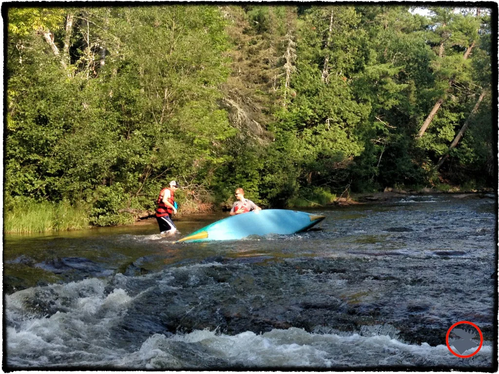
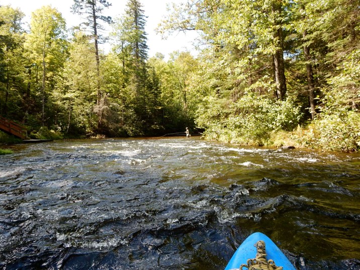
Rivers
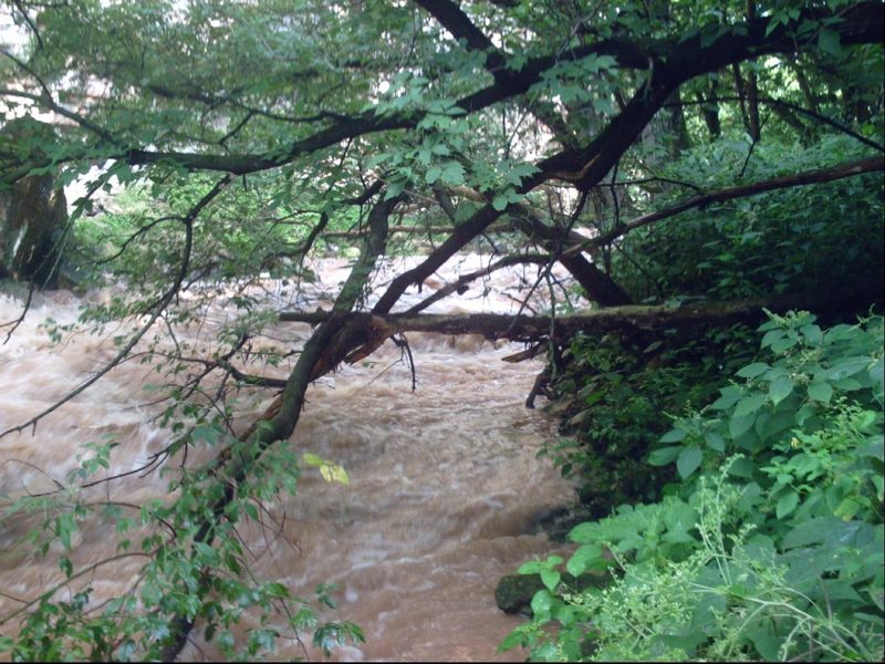
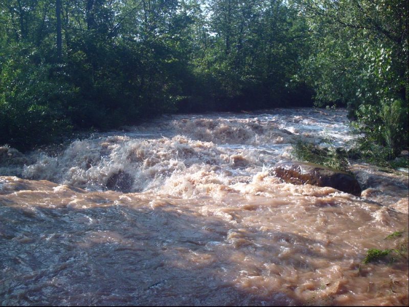
Wisconsin 48 features
Hwy.14 (aka Commercial Street)
Rapid
N/A
Lions Park Pedestrian Bridge
Rapid
N/A
Overview
Rapid
N/A
Put In
Rapid
N/A
Railroad Trestle
Rapid
N/A
State Street (aka CTH.Y)
Rapid
N/A

Take Out
Rapid
N/A
Tandem Trestle
Rapid
N/A
The Straightaway
Rapid
N/A
Wave(s)?
Playspot
N/A
Big Twin Rapids
Rapid
N/A

Co-op Park Rapids
Rapid
N/A

Doodlebug Rapids
Rapid
N/A
Hall Rapids
Rapid
N/A

Highway 13 Rapids
Rapid
N/A
Lenroot Ledges
Rapid
N/A
Little Joe Rapids
Rapid
N/A
Little Twin Rapids
Rapid
N/A
Long Nebagamon Rapids
Rapid
N/A

May Ledges
Rapid
II
Mays Rips Rapids
Rapid
I
Put In
Rapid
N/A

Put In
Rapid
N/A

Station Rapids
Rapid
N/A

Take Out
Rapid
N/A

Take Out
Rapid
N/A
The Falls Rapids
Rapid
N/A
Wildcat Rapids
Rapid
N/A

Williamson Rapids
Rapid
N/A
Alternate take-out
Rapid
N/A
Blind Left Bend
Hazard
II
Boulder Waves
Rapid
III
Enter golf course
Rapid
N/A
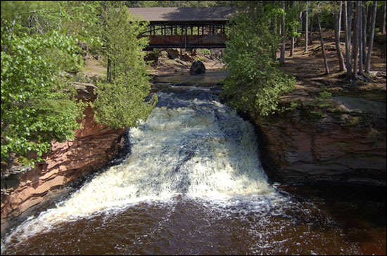
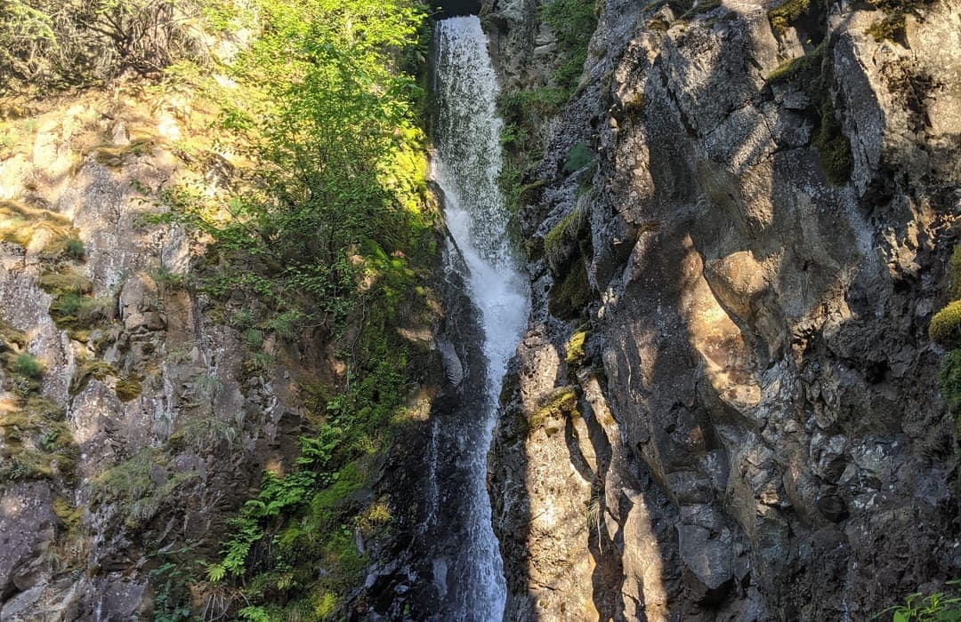
Fonferek Falls
Rapid
N/A
Island hole
Rapid
N/A
Ledges & Waves
Rapid
II
Opening sequence
Rapid
II
Put In
Rapid
N/A
Skylight Ledge
Playspot
II+
Take Out
Rapid
N/A
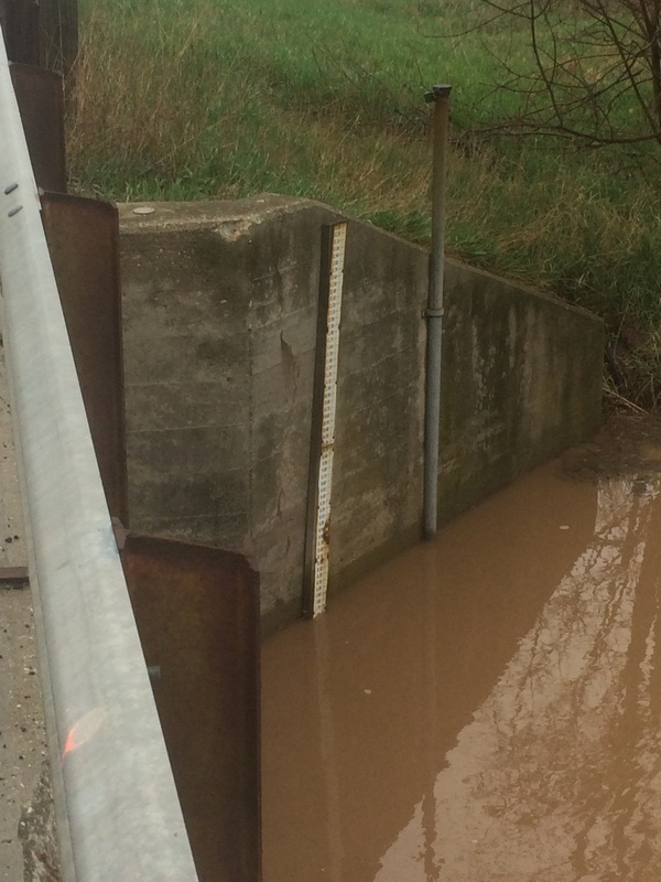
USGS gauge
Rapid
N/A
Wooded, braided channels
Rapid
N/A
Drainage: 81 sq.mi.
Rapid
N/A
Put In
Rapid
N/A
Take Out
Rapid
N/A
USGS sampling site (103 Sq.Mi.)
Rapid
N/A
*Possible* park-and-play
Rapid
N/A
Big Bull Rapids
Rapid
II