Access Sites
Find mapped boat ramps, launches, and public water access points across the United States.
44,009
Total Sites
24
Loaded
51
Regions
Map view
Explore nearby access
Pan or zoom to load the sites in view, then open a marker for details and directions.
Interactive access map
Loads after the directory is visible.
Loading...
Navigation Tips
- Zoom in to load more sites in your area of interest
- Click on clusters (numbered circles) to zoom into that area
- Click on individual markers for site details and directions
- Use scroll wheel or pinch to zoom, drag to pan
Directory results
Loaded access sites
The list reflects the current page and can be narrowed with the search field.
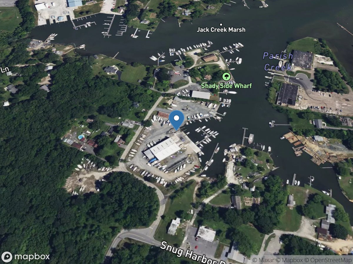
Leatherbury Point Marina
Access Site
Parish Creek

Leathersville Ramp
Access Site
Clarks Hill Lake
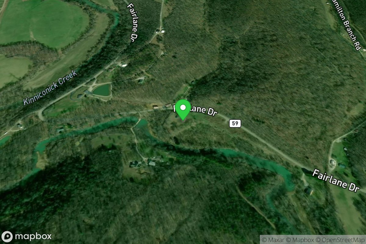
Leatherwood Branch Park Access
Access Site
Kinniconick Creek
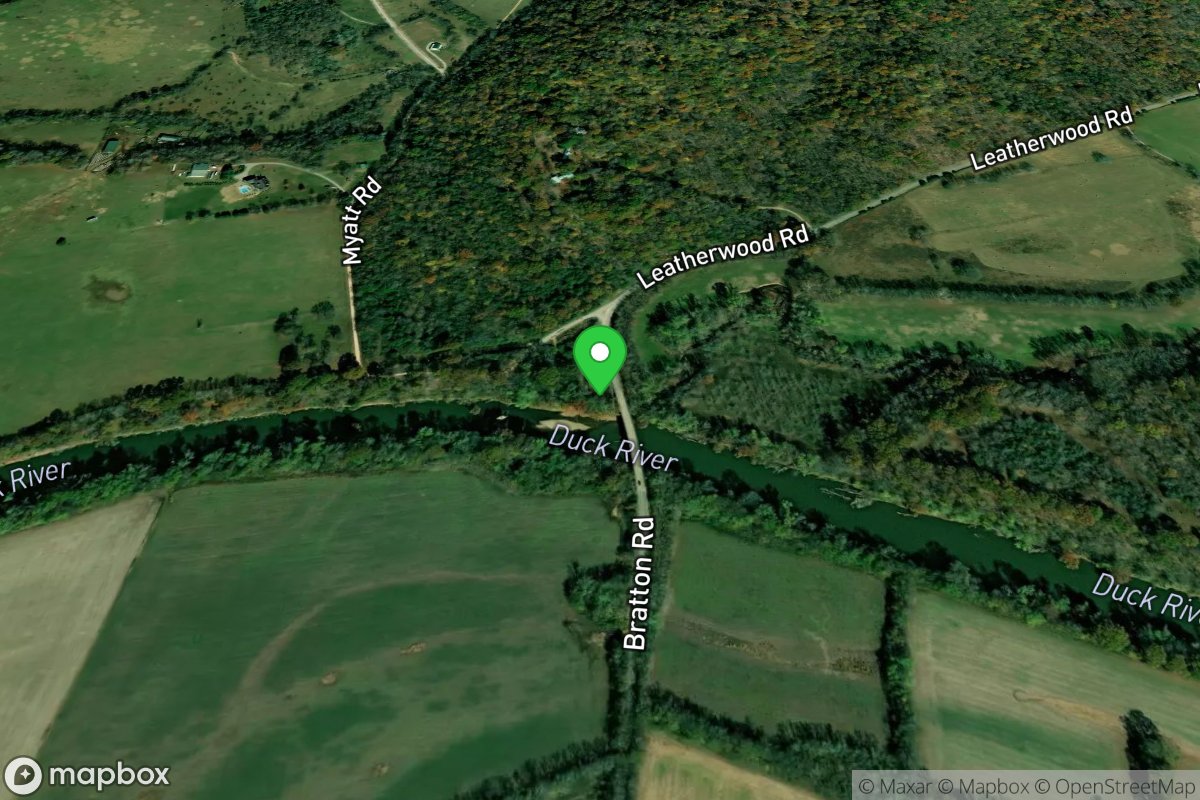
Leatherwood Bridge
Access Site
Duck River
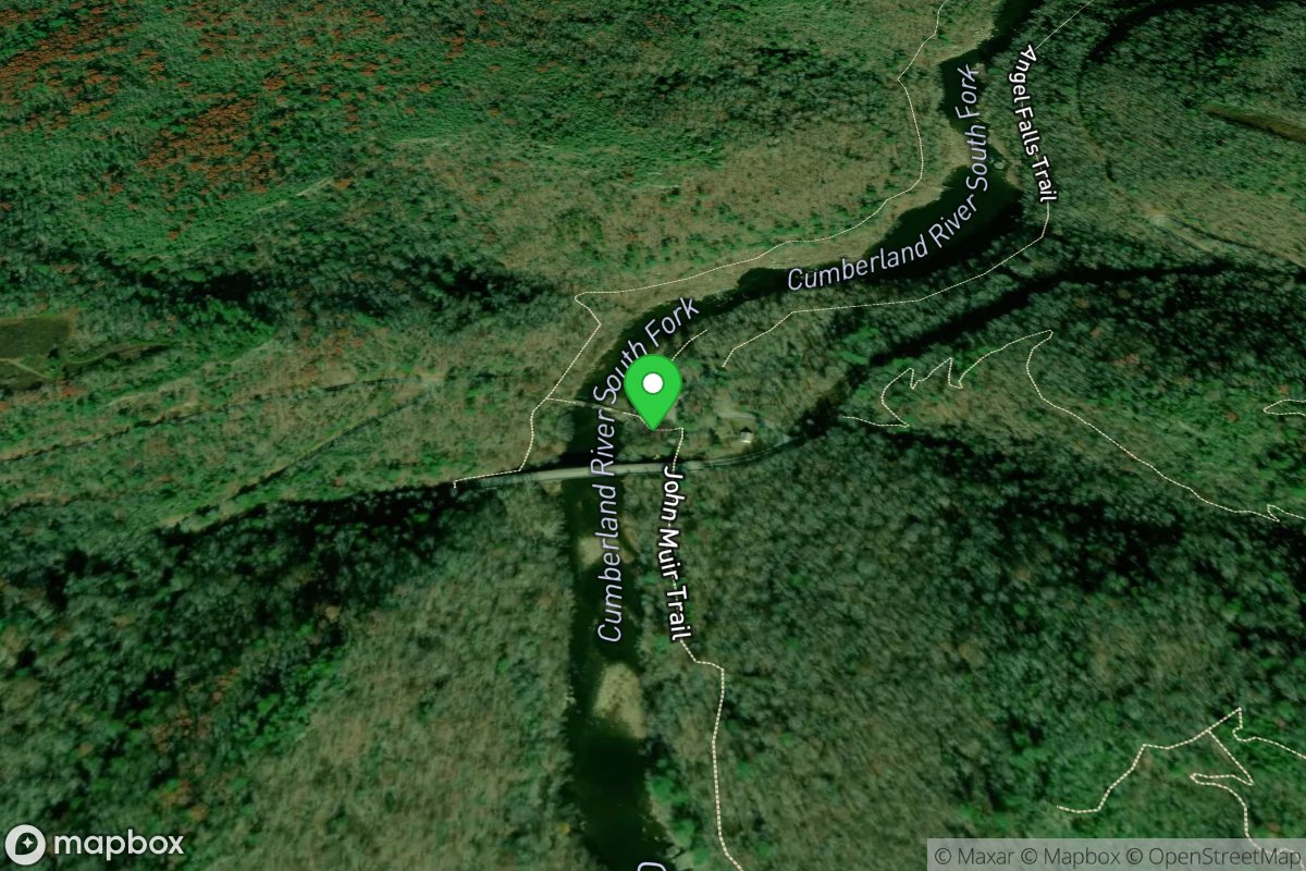
Leatherwood Ford
Access Site
Big South Fork Cumberland
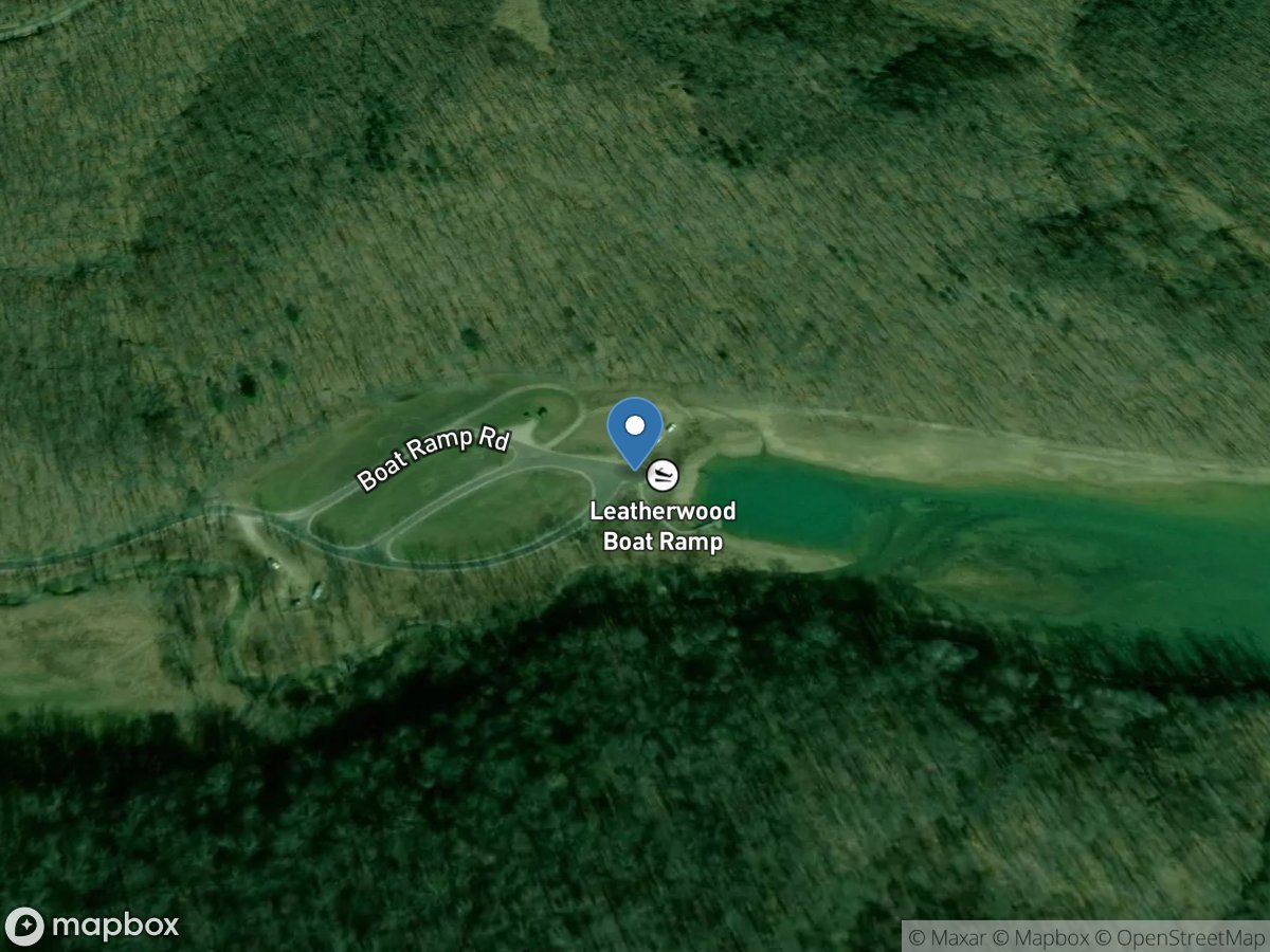
Leatherwood Ramp
Access Site
Cave Run Lake
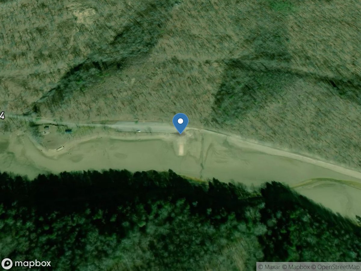
Leatherwood Ramp
Access Site
Buckhorn Lake
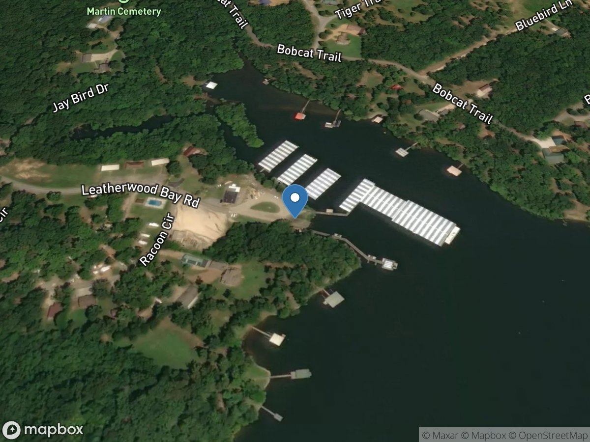
Leatherwood Resort & Marina
Access Site
Tennessee River - Kentucky Lake
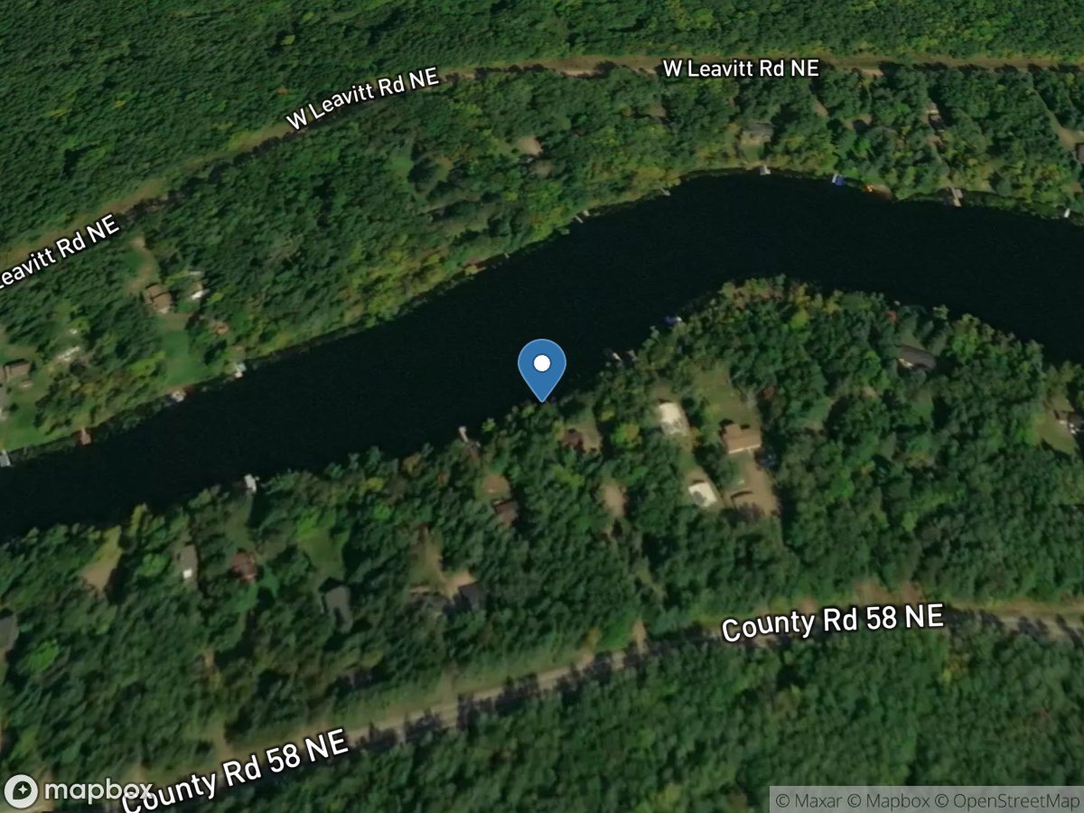
Leavitt Lake
Access Site
Leavitt Lake
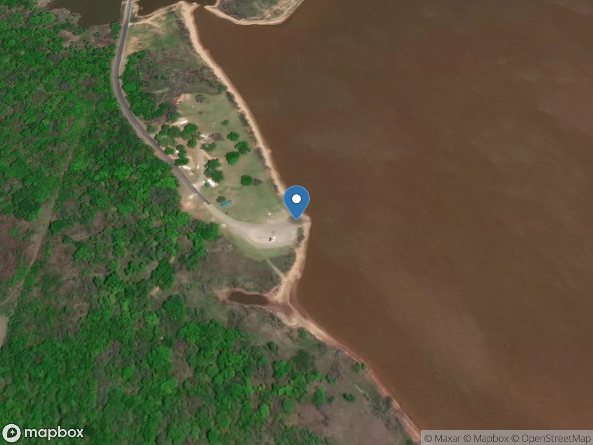
Lebanon
Access Site
Red River - Lake Texoma
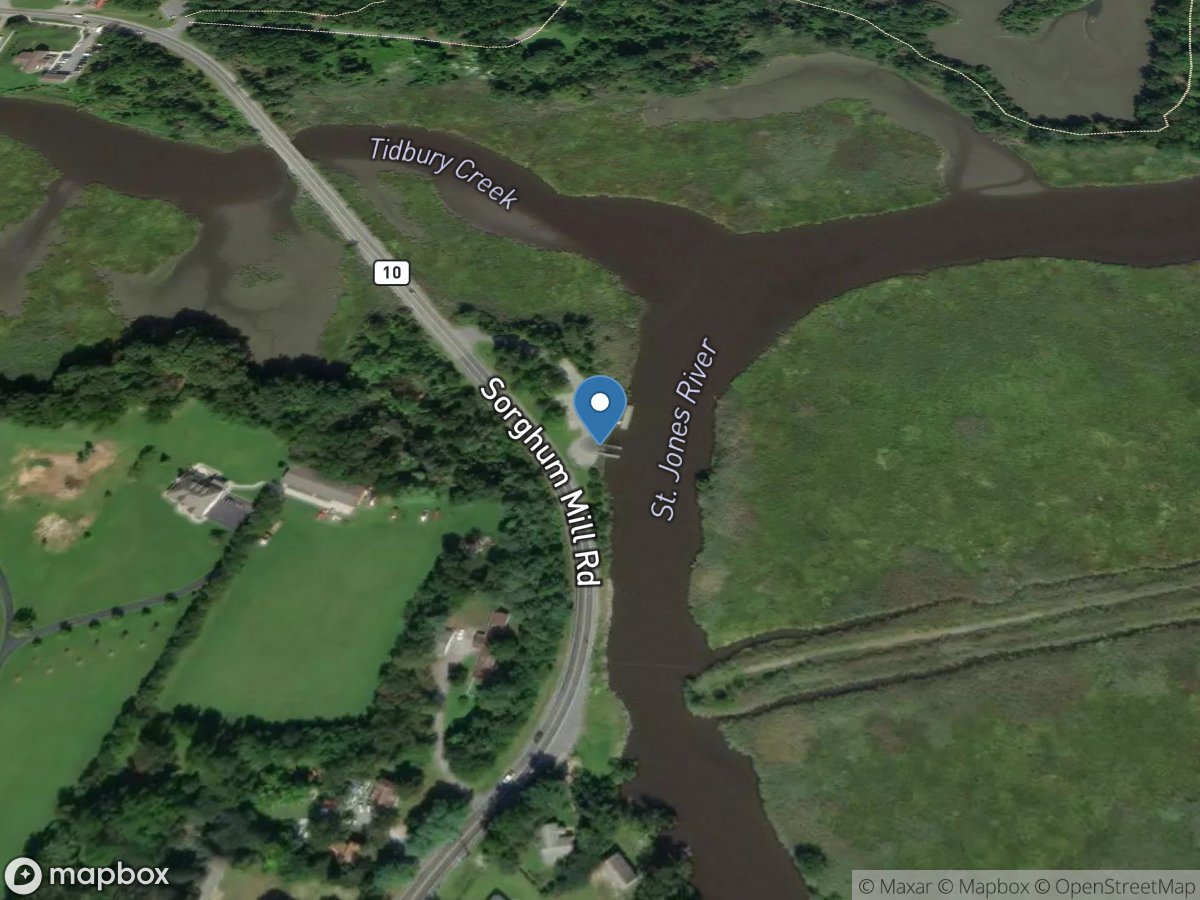
Lebanon Landing
Access Site
Saint Jones River
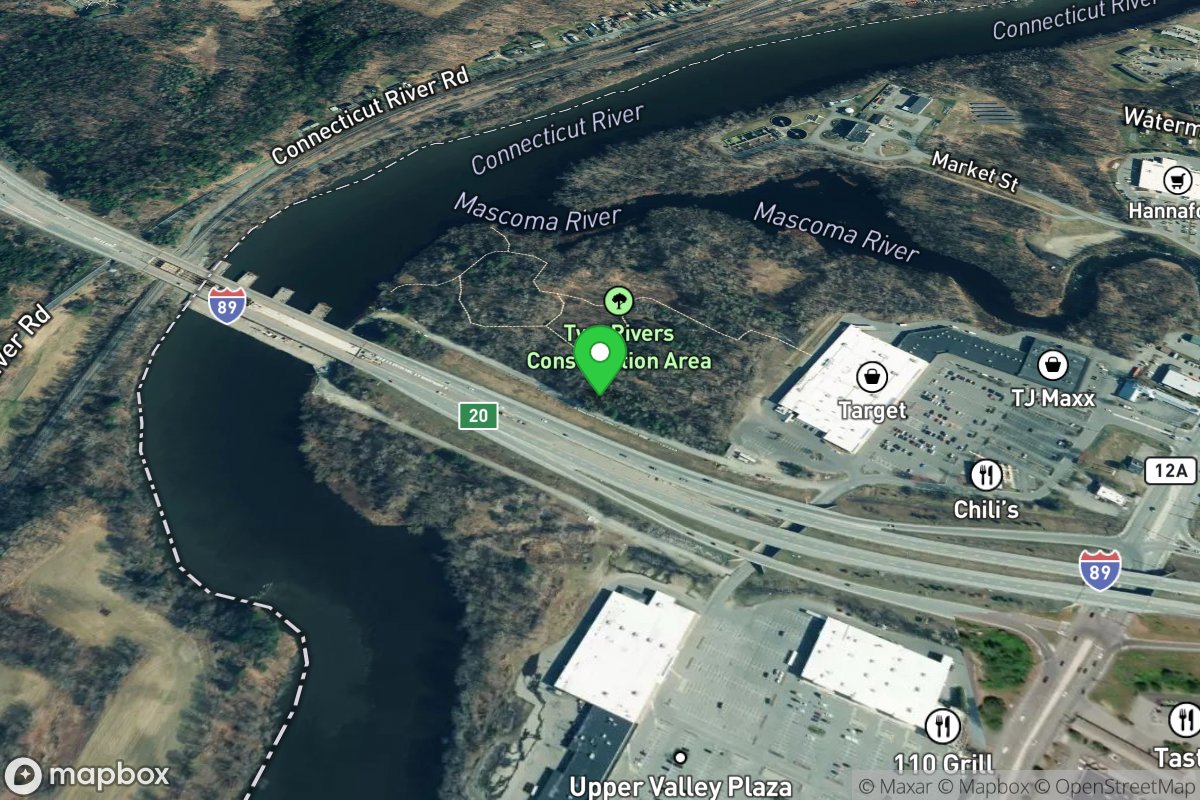
Lebanon Public Boat Launch
Access Site
Connecticut River
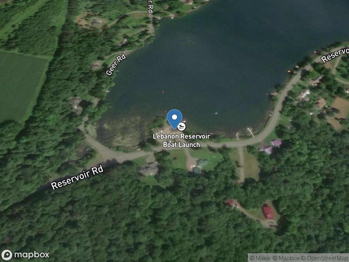
Lebanon Reservoir
Access Site
Kingsley Brook - Lebanon Reservoir
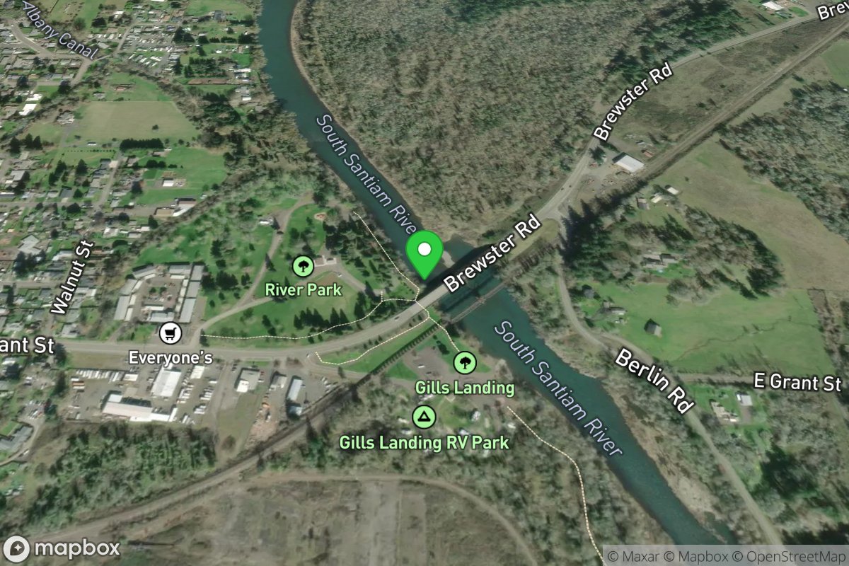
Lebanon River Park Access
Access Site
Santiam, S.
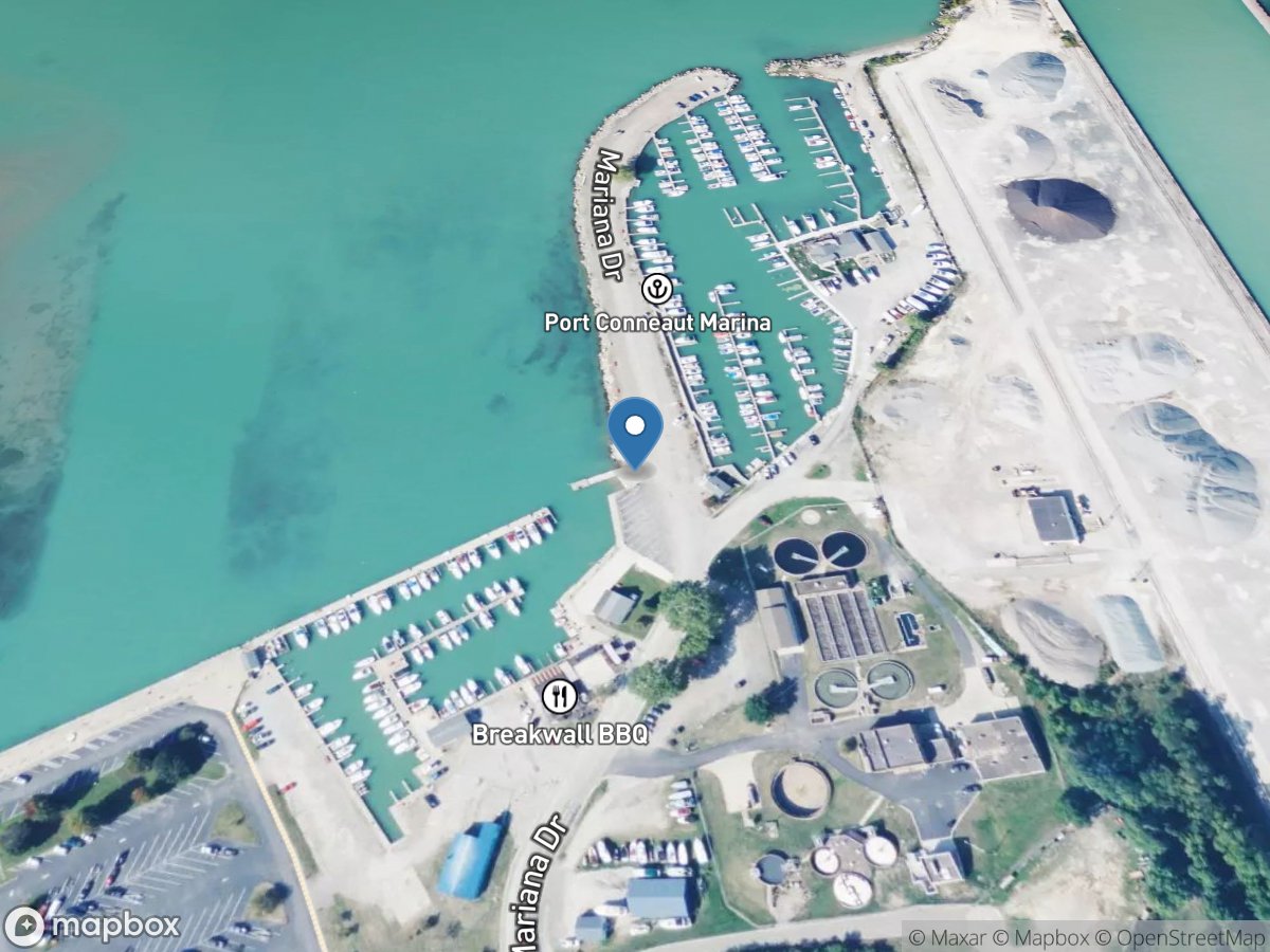
LEBC
Access Site
Town of North Kingsville-Frontal Lake Erie
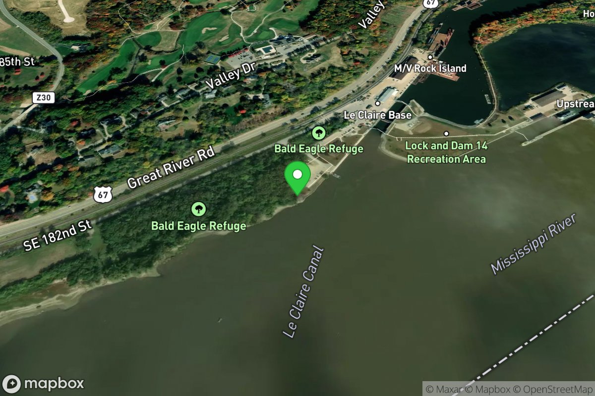
Leclaire Base Ramp
Access Site
Mississippi River
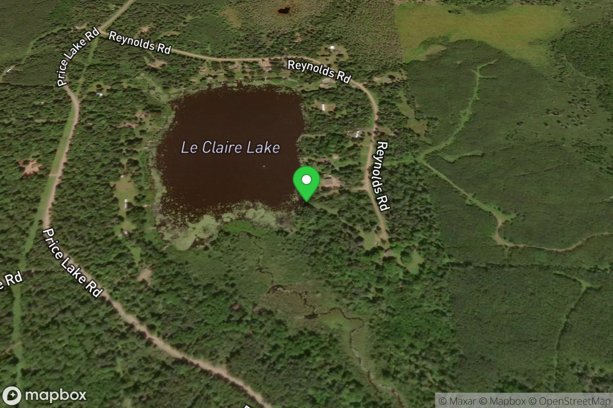
LeClaire Lake Access
Access Site
LeClaire Lake
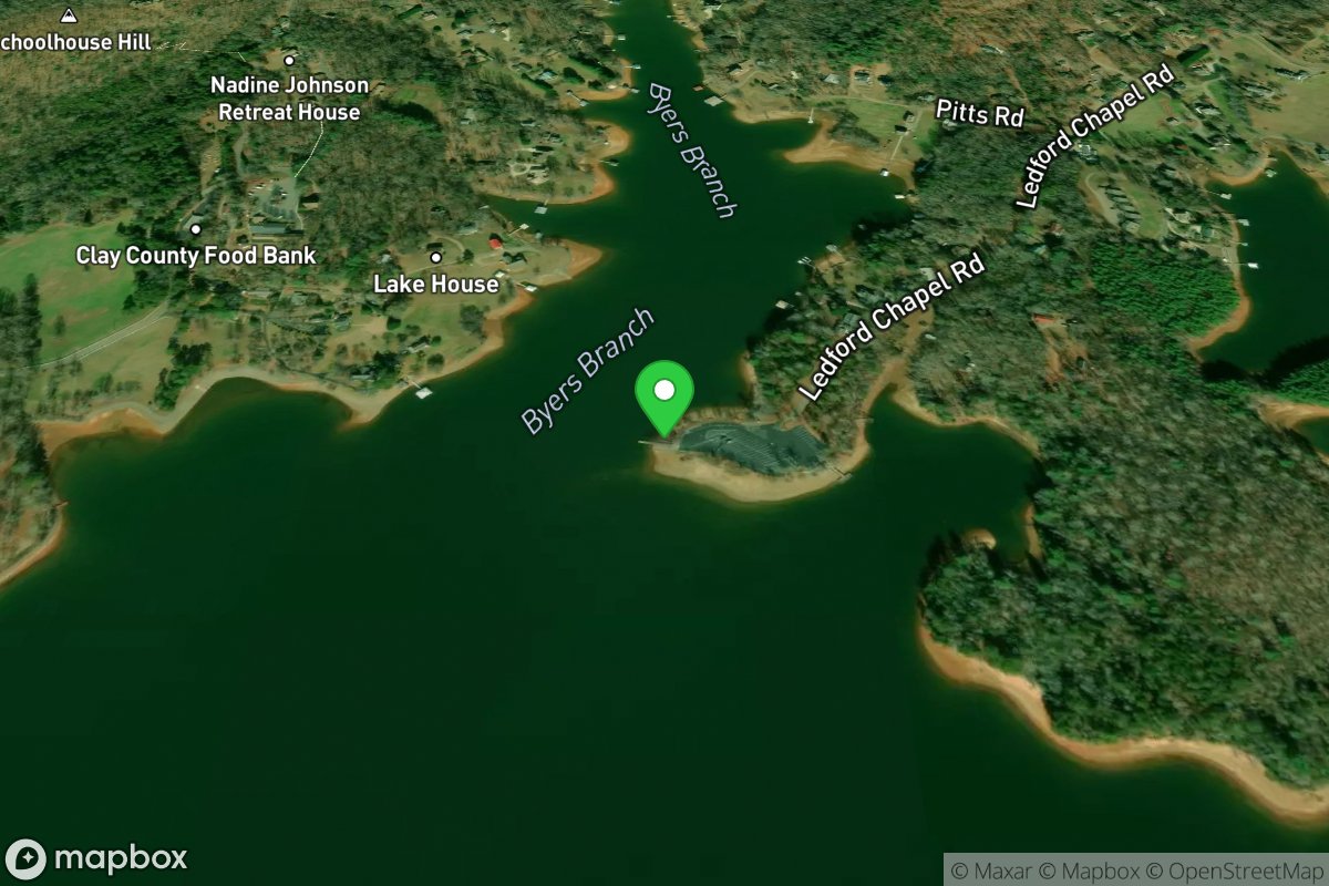
Ledford's Chapel
Access Site
Lake Chatuge
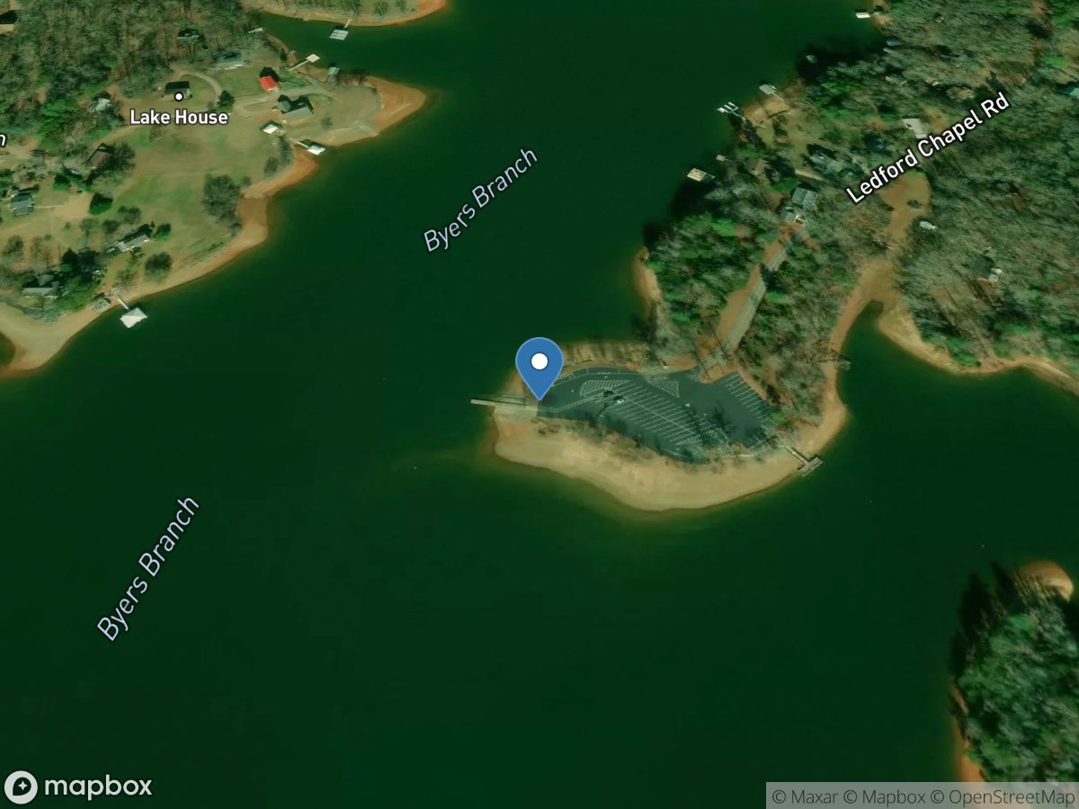
Ledfords Chapel
Access Site
Hiwassee River (Chatuge Lake)
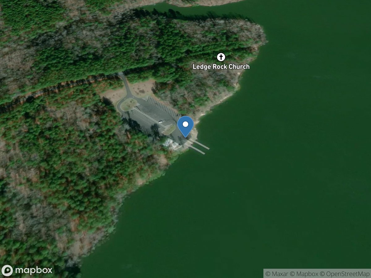
Ledge Rock
Access Site
Neuse River
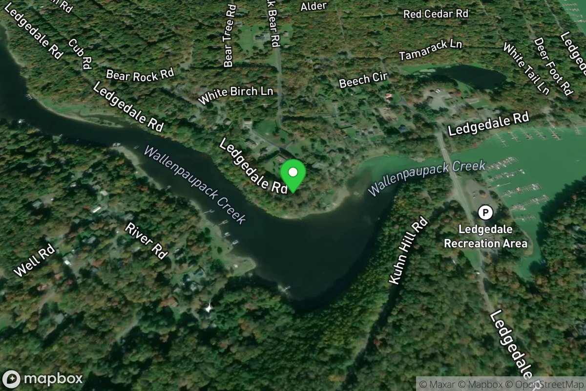
Ledged Dale
Access Site
Lake Wallenpaupack
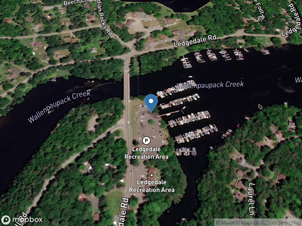
Ledged Dale
Access Site
Lake Wallenpaupack
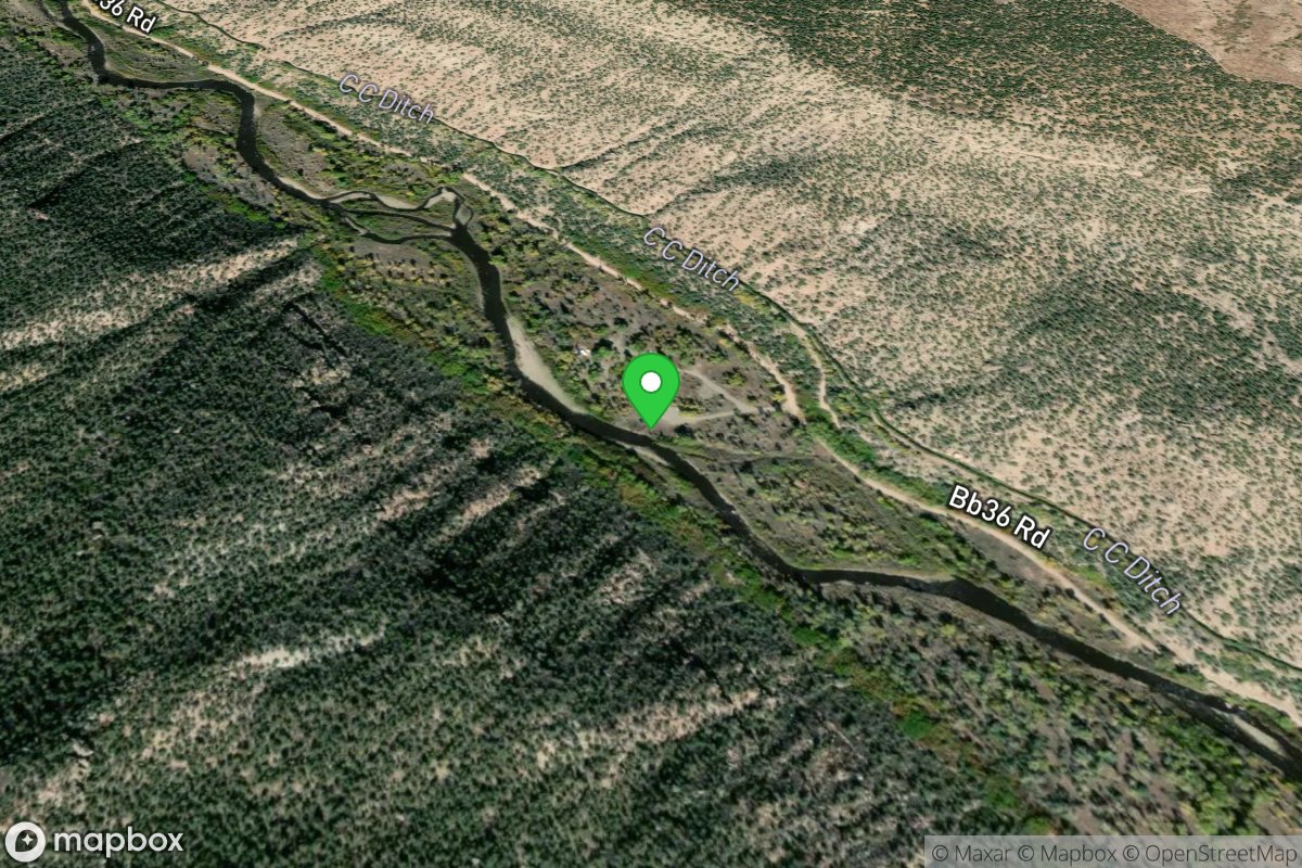
Ledges Cottonwood Area
Access Site
San Miguel River
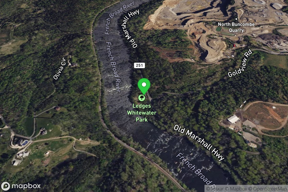
Ledges Park
Access Site
French Broad