Gauge Conditions
Data from American Whitewater & USGS
Description
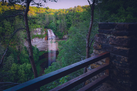
Tesnatee Creek flows into Chestatee River. Continue downstream to Copper Mine or paddle upstream less than a quarter mile on the Chestatee to reach Grindle Falls from below.
Location

View Full Run
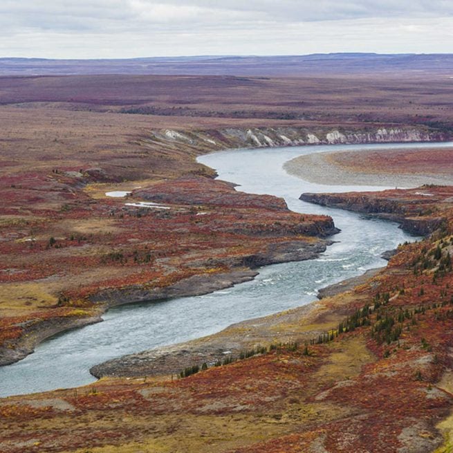
Town Creek Road to Copper Mine
Tesnatee Creek
I-II(IV)
9.4 mi
Current Conditions
5-Day Forecast
Whitewater data from
American Whitewater
American Whitewater