Gauge Conditions
Photo
Description
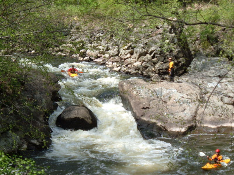
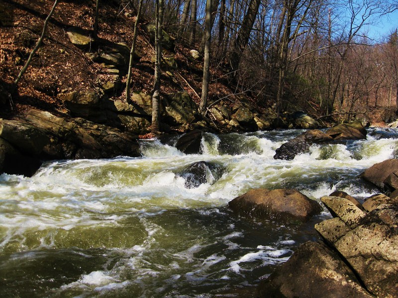
The slot/drop known as "Graffiti Rock" is the toughest (other than the falls). Graffiti Rock itself forms a natural dam which extends out from river left about 2/3 of the way across the river. It's down stream face is sloped at about 35-40 deg. Its upstream face is vertical (not undercut). The bedrock ends in a ledge with a vertical downstream face. The two vertical faces of the ledges are about 1 foot apart (parallel to each other) (see cross-section illustration) and the "slot" between them empties into the main flow "chute" to river right. (see attached image of rapid from above). The slot between Graffiti Rock and the upstream ledge fills in completely at levels higher than about 2.9' and you'd never even know it was there. Between Graffiti Rock and the right bank there is a rock/rockpile. A small amount of water goes over there (more at higher flows) and it would not be a good place to be (slightly undercut, manky). However, it's at the end of right turn the river is making. It also has a number of rocks above the drop preventing someone from getting there. At higher flows (> 4') a paddler _might_ be able to get over there, but at higher flows the water is pushing even harder to the left leading up to the drop. All in all, it looks unpleasant, but the right side of the river at Graffiti Rock isn't really "in play".
Location

Current Conditions
5-Day Forecast
American Whitewater