Gauge Conditions
Runnable: 400.0 – 3,000.0 CFS
Maximum is a guess.
Data from American Whitewater & USGS
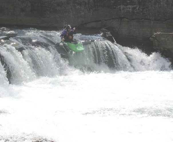
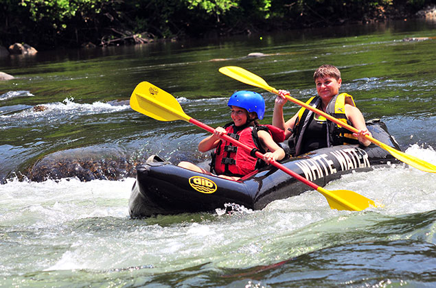
Photo
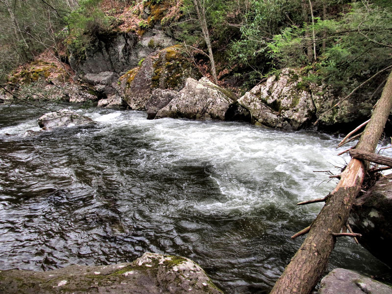
Photo courtesy of American Whitewater
Description
The easiest put-in is just downstream of the Old Mill restaurant, with easy access and parking. But you could also put in on Beaverdam Creek, if it has enough water, next to the red caboose. The Beaverdam confluence is just downstream of the Old Mill.
Location
Other Rapids on This Run (2)
View Full Run
Damascus to South Fork of the Holston River (U.S. 58)
Laurel Creek
II+(III)
2.8 mi
Current Conditions
5-Day Forecast
Whitewater data from
American Whitewater
American Whitewater