Gauge Conditions
Data from American Whitewater & USGS
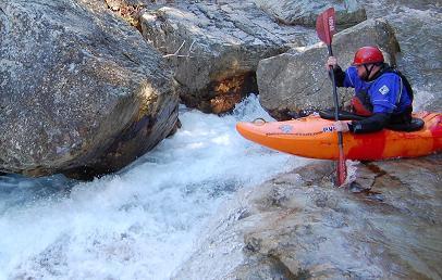
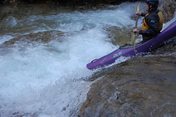
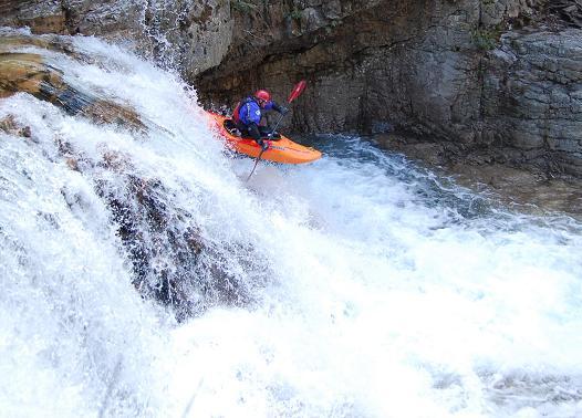
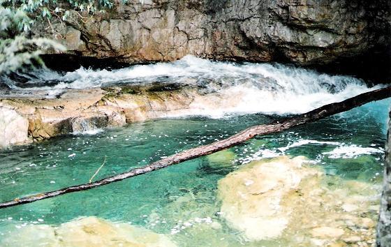
Description
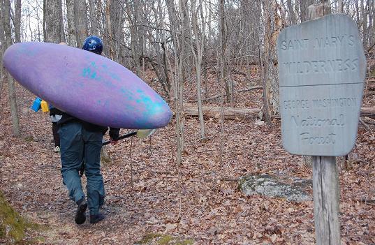
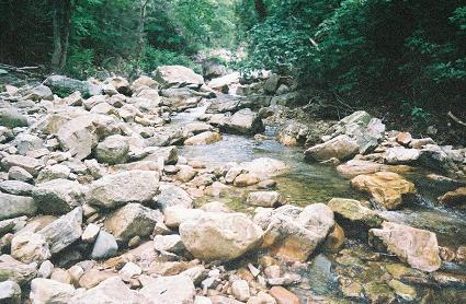
The Take Out is at the dead end of Forest Service Road 41, the Trailhead for hiking into Saint Mary's Wilderness from the bottom of the valley.
Location
View Full Run
Confluence with Mine Bank Creek to Forest Service Road 41
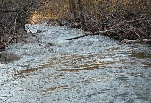
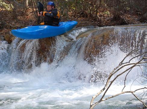
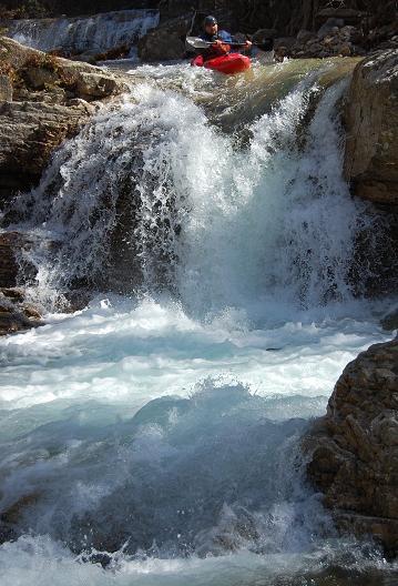
Saint Mary's
IV(V)
4.6 mi
Current Conditions
5-Day Forecast
Whitewater data from
American Whitewater
American Whitewater