Gauge Conditions
Runnable: 400.0 – 3,000.0 CFS
Maximum is a guess.
Data from American Whitewater & USGS
Photo
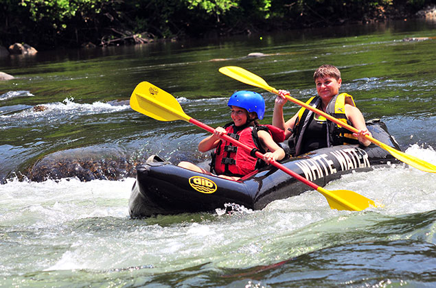
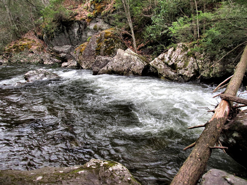
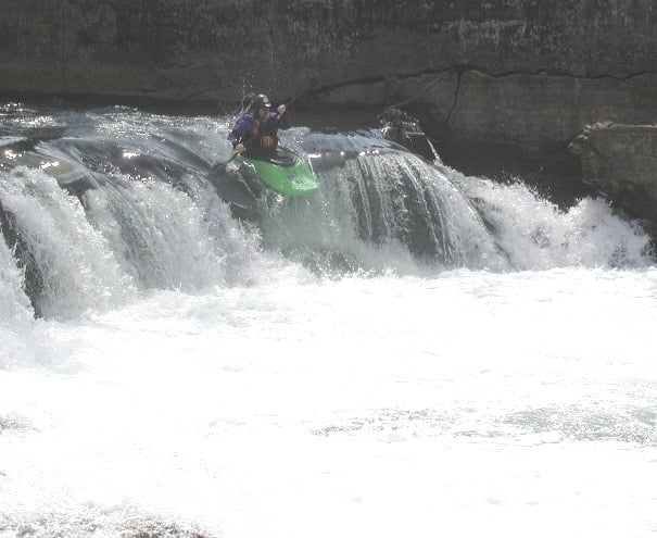
Photo courtesy of American Whitewater
Description
Although Laurel Creek ends in about 3 miles when it flows into the South Fork Holston, most people continue another 4 miles to the Alvarado take-out (pictured) on the South Fork Holston, for a 7 mile trip.
Location
Other Rapids on This Run (2)
View Full Run
Damascus to South Fork of the Holston River (U.S. 58)
Laurel Creek
II+(III)
2.8 mi
Current Conditions
5-Day Forecast
Whitewater data from
American Whitewater
American Whitewater