How's Your
River
×
Explore
Explore Map
Water Bodies
Gauges
Access Sites
Tidal Stations
Whitewater
Pricing
Login
Sign Up
Hazard Warning:
Hazard information may be user-submitted and unverified. Conditions change frequently. Always scout rapids and obstacles yourself.
Whitewater
Georgia
Tesnatee Creek - Town Creek Road to Copper Mine
Tesnatee Falls
Hazard
GA
Class IV
Tesnatee Falls
Tesnatee Creek - Town Creek Road to Copper Mine (GA)
Monitor this Rapid
Water Body
This Run
Map
Other Rapids
Gauge
Weather
Directions
Gauge Conditions
Chestatee River near Dahlonega, GA
Downstream
Primary
Runnable: 600.0 – 2,000.0 CFS
Data from
American Whitewater
&
USGS
Photo
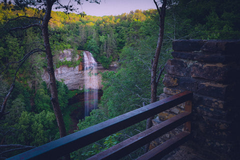
Photo courtesy of
American Whitewater
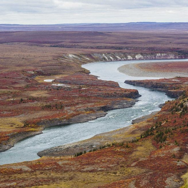
Description
A serious rocky slide just below the dam. Scout both for the best line and for wood. Avoid the rock outcropping on river right.
Location
Radar
Counties
Cell
Verizon
AT&T
T-Mobile
Dark
Satellite
Terrain
Other Rapids on This Run (7)
Rapid
Town Creek Road
0.0 mi
Rapid
Gene Nix Road
2.1 mi
Waterfall
Tesnatee Dam
3.6 mi
Rapid
Far Winds Bridge
4.0 mi
Rapid
Sandy Ford Road
4.7 mi
Rapid
Chestatee confluence
5.6 mi
Hazard
III+
Copper Mine
7.2 mi
Type
Hazard
Difficulty
Class IV
Mile Marker
3.7 mi
Directions
Navigate
View Full Run
Town Creek Road to Copper Mine
Tesnatee Creek
I-II(IV)
9.4 mi
Hazard
— Exercise extreme caution in this area.
Current Conditions
5-Day Forecast
Whitewater data from
American Whitewater
Tesnatee Falls