How's Your
River
×
Explore
Explore Map
Water Bodies
Gauges
Access Sites
Tidal Stations
Whitewater
Pricing
Login
Sign Up
Hazard Warning:
Hazard information may be user-submitted and unverified. Conditions change frequently. Always scout rapids and obstacles yourself.
Whitewater
Virginia
Saint Mary's - Confluence with Mine Bank Creek to Forest Service Road 41
You Go First
Rapid
VA
Class III+
You Go First
Saint Mary's - Confluence with Mine Bank Creek to Forest Service Road 41 (VA)
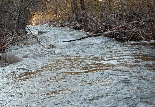
Monitor this Rapid
Water Body
This Run
Map
Other Rapids
Gauge
Weather
Directions
Gauge Conditions
Tye River near Lovingston, VA
Upstream
Primary
Runnable: 1,100.0 – 2,500.0 CFS
Data from
American Whitewater
&
USGS
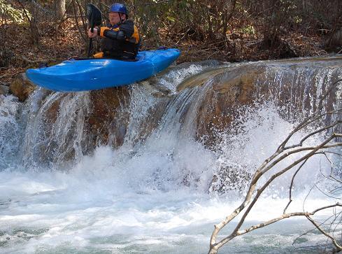
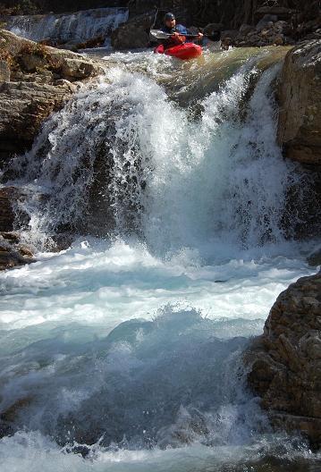
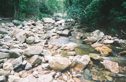
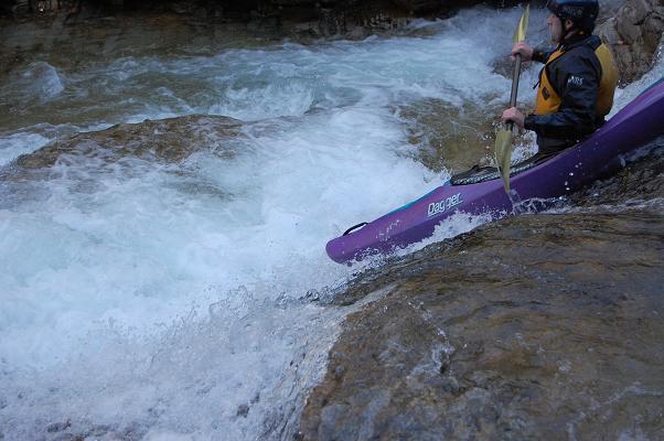
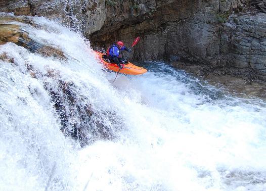
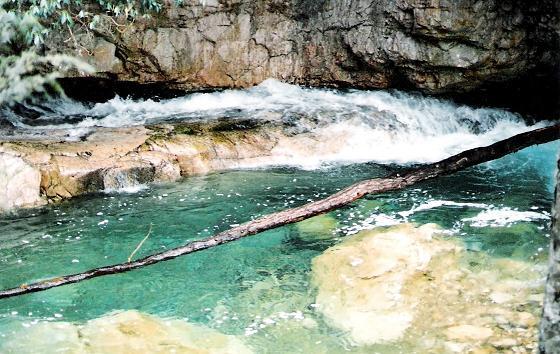
Photo
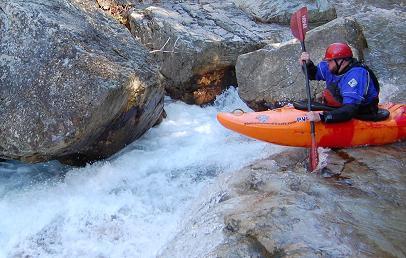
Photo courtesy of
American Whitewater
Description
A slide into a boulder and against an undercut slightly undercut wall. Really not as bad as it sounds
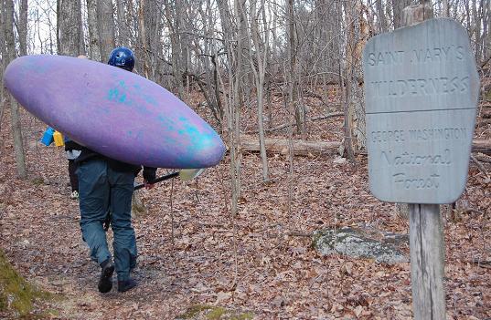
Location
Radar
Counties
Cell
Verizon
AT&T
T-Mobile
Dark
Satellite
Terrain
Other Rapids on This Run (9)
Rapid
Parking Area
-2.0 mi
Rapid
Put-In
0.0 mi
Waterfall
III
Entrance Ledge
1.5 mi
Waterfall
IV
Finders Keepers
1.5 mi
Rapid
IV
Boulder Garden
1.7 mi
Waterfall
III
John's Slide
1.7 mi
Waterfall
V
Saint Mary's Falls
1.8 mi
Waterfall
IV
Hope I Go Deep
2.2 mi
Rapid
Take-Out
4.0 mi
Type
Rapid
Difficulty
Class III+
Mile Marker
1.6 mi
Directions
Navigate
View Full Run
Confluence with Mine Bank Creek to Forest Service Road 41
Saint Mary's
IV(V)
4.6 mi
Current Conditions
5-Day Forecast
Whitewater data from
American Whitewater
You Go First