above Black Ck. Rd. to logging ford (4.3 miles)
Linked via: Nhdplus discovery 90% confidence Synced 6mo ago
Gauge Conditions
Runnable: ? – ? CFS
Approximate reading: This gauge is 10.2 miles away on Huron. Use as a general reference only.
Data from American Whitewater & USGS
Run Map
Run Time Estimate
Select put-in and take-out to estimate time.
Unlock Advanced Trip Planning
See wind-adjusted speed maps, forecast planning, and detailed time estimates.
Sign in to generate an AI timing estimate for this run.
Whitewater timing varies with scouting, portages, and group pace. Use as a planning baseline.
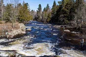
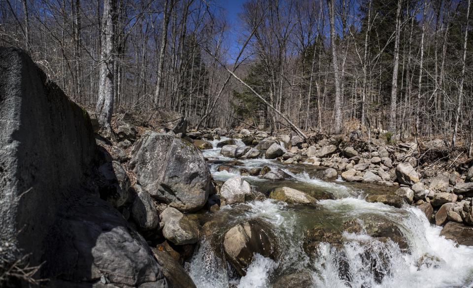
Description
Put-in is from a logging road on river-right 0.4 mile upriver of Black Creek Road bridge. (Or, if that is impassible, right at Black Creek Road bridge, skipping that warm-up drops up there.)
Take-out is at a logging road 1.5 miles upstream (south) from Skanee Road.
Both accesses may be sketchy in early season (late-winter/early-spring).
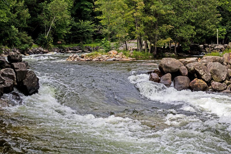
This run is characterized by many short ledgey-drops, and a couple fine falls.
A fine photo-essay of West Branch Falls is available at Waterfalls of the Keweenaw.
Rapids in this Run (10)


Waterfalls (1)
Difficulty
Class II-IV(V)
Length
3.9 mi
Gradient
100 ft/mi
max 141
Rapids
10
Access Points
Difficulty Classes
I Easy
II Novice
III Intermediate
IV Advanced
V Expert/Extreme
VI Unrunnable
Current Conditions
5-Day Forecast
Whitewater data from
American Whitewater
American Whitewater