Gauge Conditions
Runnable: ? – ? CFS
Approximate - nearest available gauge. Use as general reference only.
Data from American Whitewater & USGS
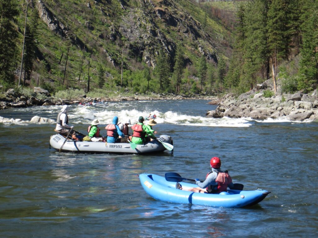
Photo
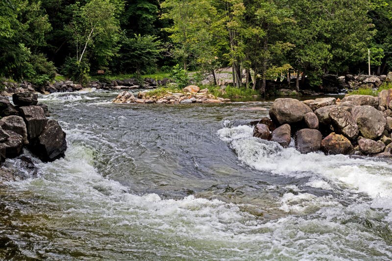
Photo courtesy of American Whitewater
Description
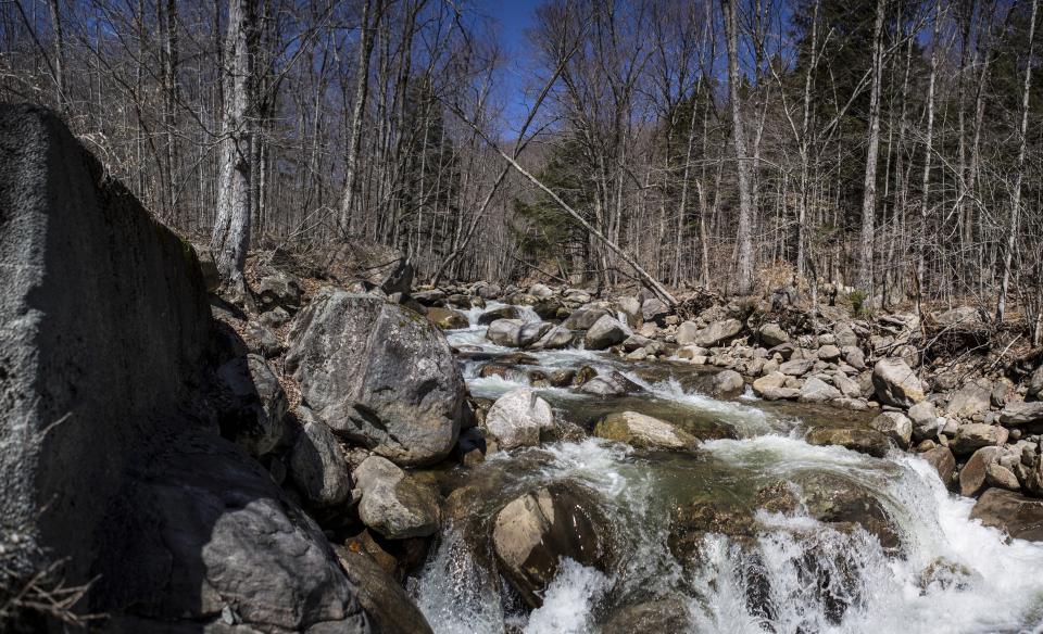
A fair part of this stream is obscured from view of the online aerial mapping, which limits identifying all the features down this run. Therefore, do not rely on the following to be anywhere near complete or accurate description of this run.
About 1/3rd of a mile of paddling (starting with just current, building to low-grade rapids) brings you to what appears to be (on aerial maps) a falls. Immediately downstream, it appears you encounter a brief series of ledges which are typical for rivers in this area.
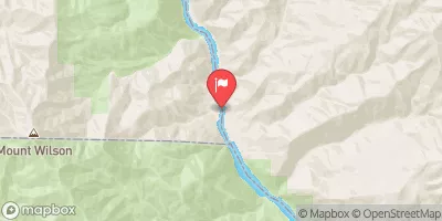
Location
Other Rapids on This Run (12)


View Full Run
above Black Ck. Rd. to logging ford (4.3 miles)
Huron, W.Br.
II-IV(V)
3.9 mi
Current Conditions
5-Day Forecast
Whitewater data from
American Whitewater
American Whitewater