Rapid
MI
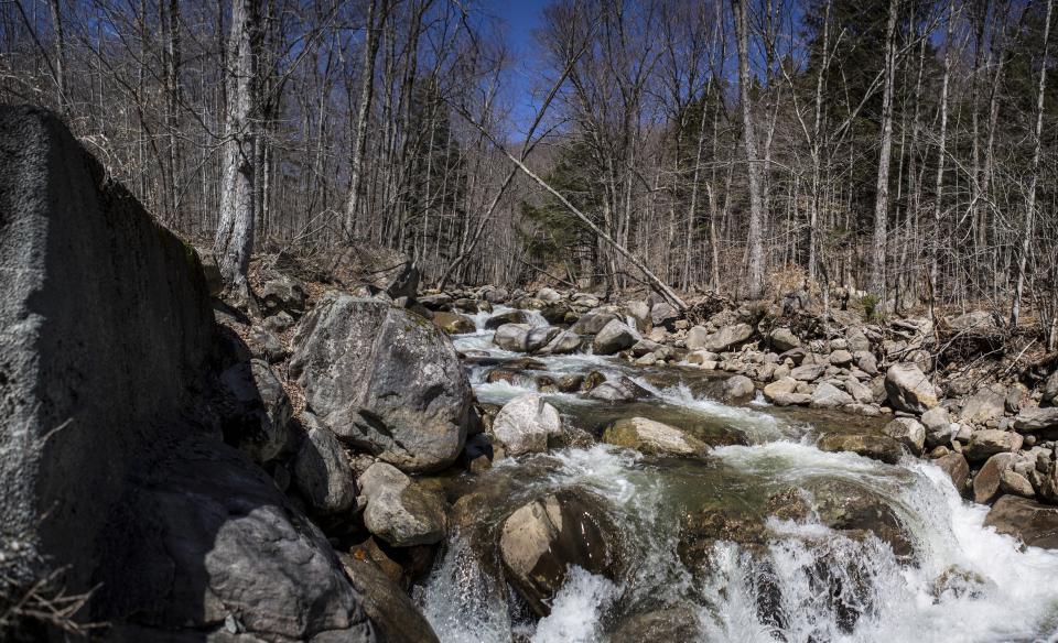
Black Creek Road / USGS sampling site
Huron, W.Br. - above Black Ck. Rd. to logging ford (4.3 miles) (MI)
Gauge Conditions
Runnable: ? – ? CFS
Approximate - nearest available gauge. Use as general reference only.
Data from American Whitewater & USGS
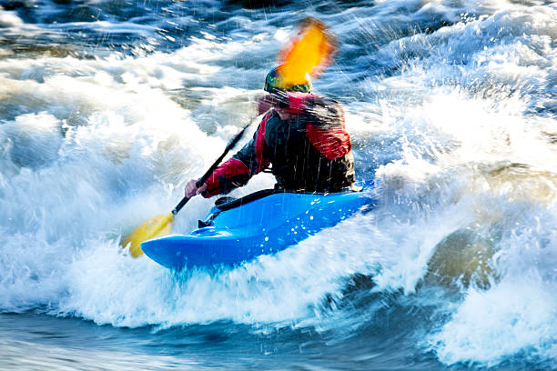
Photo
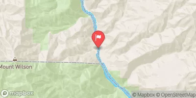
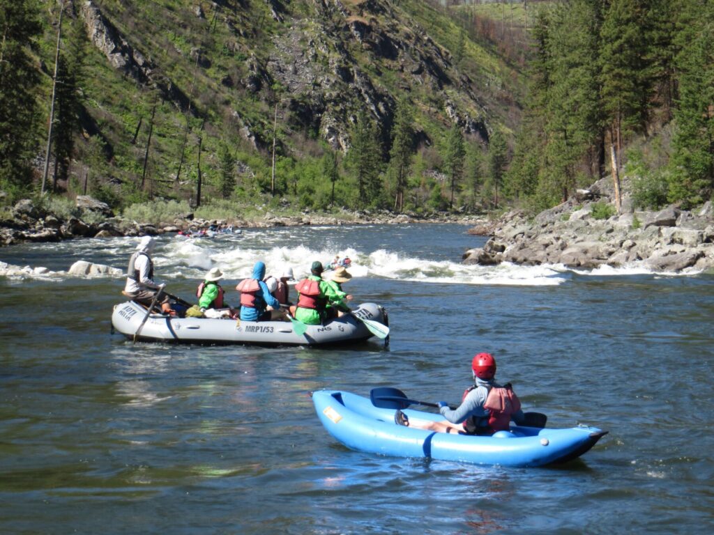
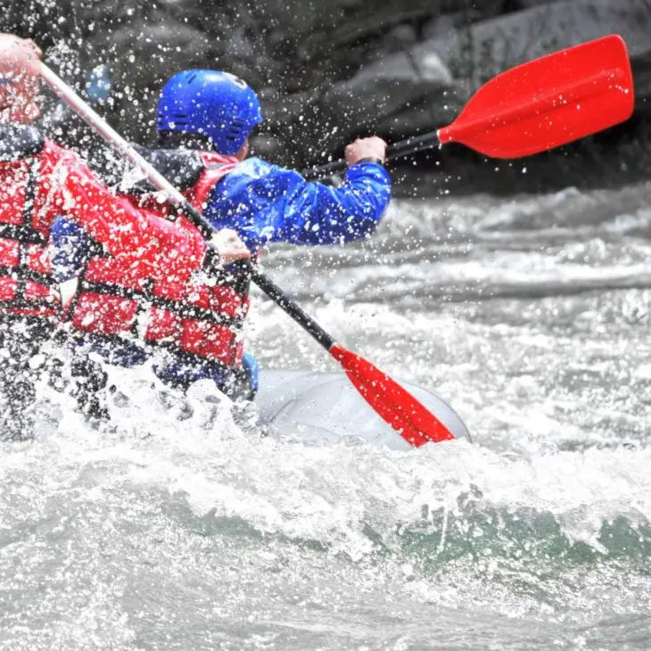
Photo courtesy of American Whitewater
Description
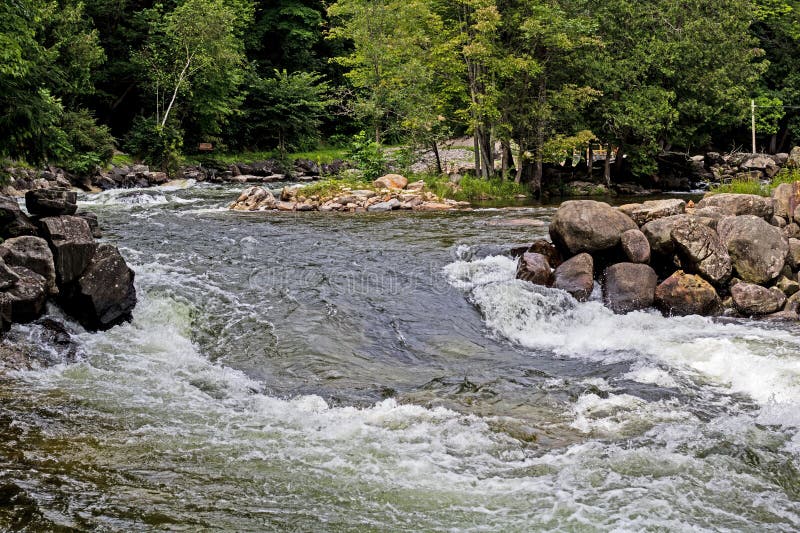
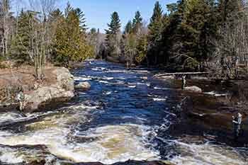
If the logging road to our marked put-in is inaccessible, there is great parking and access at this bridge, and action starts pretty immediately with a brief series of (perhaps three) typical Huron River ledges.
Not far downstream (on the aerial maps), "Lower Leatherby Falls" is (mis-)marked at an area which appears to be nothing but light riffles.
USGS lists a sampling site here noting drainage area as 10.8 square miles.
Location


View Full Run
above Black Ck. Rd. to logging ford (4.3 miles)
Huron, W.Br.
II-IV(V)
3.9 mi
Current Conditions
5-Day Forecast
Whitewater data from
American Whitewater
American Whitewater