How's Your
River
×
Explore
Explore Map
Water Bodies
Gauges
Access Sites
Tidal Stations
Whitewater
Pricing
Login
Sign Up
Whitewater
Pennsylvania
Four Mile Creek - B) Cooper Road to Lake Erie
Whitewater Run
PA
Class III-IV
B) Cooper Road to Lake Erie
Four Mile Creek
Linked via:
Nhdplus discovery
90% confidence
Synced 3mo ago
Pin Location
Monitor
Water Body
Map
Rapids (6)
Hazards (2)
Gauge
Weather
Put-in
Gauge Conditions
West Branch French Creek near Lowville, PA
Upstream
Primary
Runnable: ? – ? CFS
Approximate reading:
This gauge is 8.2 miles away on Four Mile Creek. Use as a general reference only.
Data from
American Whitewater
&
USGS
Run Map
Radar
Counties
Cell
Verizon
AT&T
T-Mobile
Dark
Satellite
Terrain
Rapids in this Run (6)
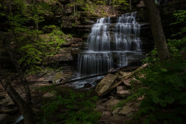
Rapid
II+
Trailer Park Pour-Over
0.8 mi
Rapid
III
Woodlawn Chutes
1.1 mi
Rapid
III+
Ankle Buster Chute
2.4 mi
Rapid
II+
Route 5 Tunnel Waves
2.8 mi
Rapid
II+
World's Edge
3.0 mi
Rapid
II
Lakeview Ledges
3.4 mi
Waterfalls (6)
Waterfall
The Devil's Staircase
0.4 mi
Waterfall
GE Warm-up Drops
1.9 mi
Waterfall
General Electric Falls
2.0 mi
Waterfall
Grotto Falls
2.1 mi
Waterfall
Golf Club Falls
3.1 mi
Waterfall
Enemy at the Gates
3.3 mi
Hazards & Portages (2)
Caution:
The following locations may require scouting or portaging. Always check current conditions.
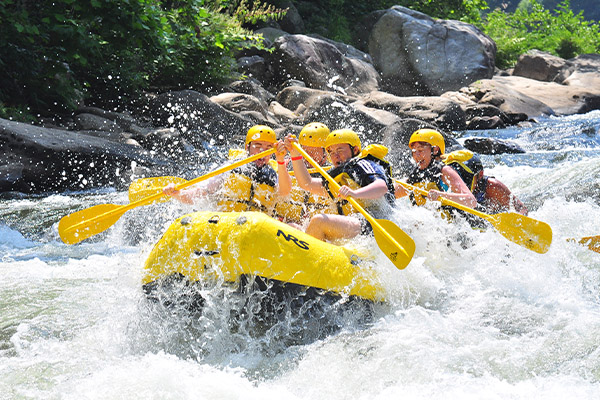
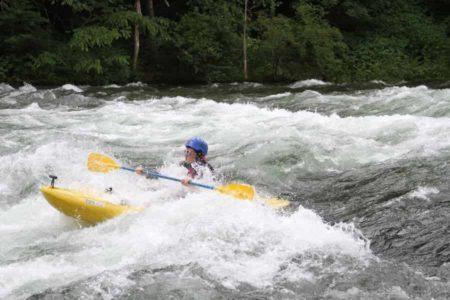
Hazard
General Electric Falls
2.0 mi
Hazard
Grotto Falls
2.1 mi
Difficulty
Class III-IV
Length
3.2 mi
Gradient
66 ft/mi
max 76
Rapids
6
2 Hazards
Access Points
Put-in
42.1258, -79.9985
Take-out
42.1601, -80.0273
Difficulty Classes
I Easy
II Novice
III Intermediate
IV Advanced
V Expert/Extreme
VI Unrunnable
Current Conditions
5-Day Forecast
Whitewater data from
American Whitewater
B) Cooper Road to Lake Erie