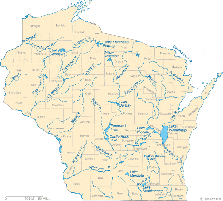
Johnson Rd. to former dam site (1.75-13.5 miles)
Linked via: Nhdplus discovery 90% confidence Synced 6mo ago
Gauge Conditions
Runnable: ? – ? CFS
Approximate reading: This gauge is 13.9 miles away on Eau Claire (St.Croix trib.). Use as a general reference only.
Data from American Whitewater & USGS
Run Map
Run Time Estimate
Select put-in and take-out to estimate time.
Unlock Advanced Trip Planning
See wind-adjusted speed maps, forecast planning, and detailed time estimates.
Sign in to generate an AI timing estimate for this run.
Whitewater timing varies with scouting, portages, and group pace. Use as a planning baseline.
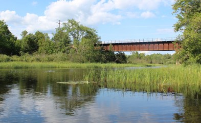
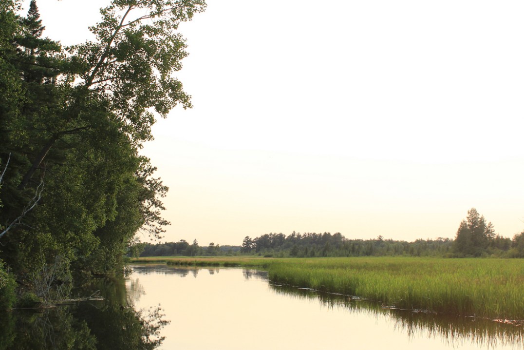
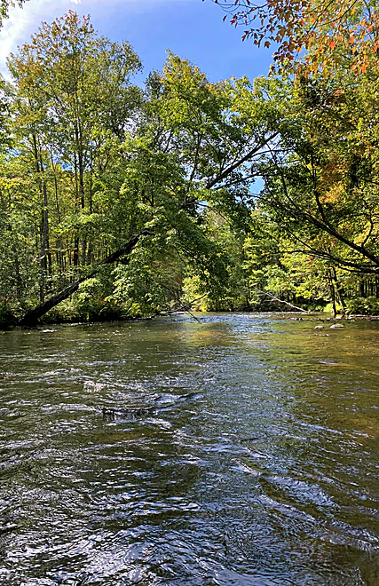
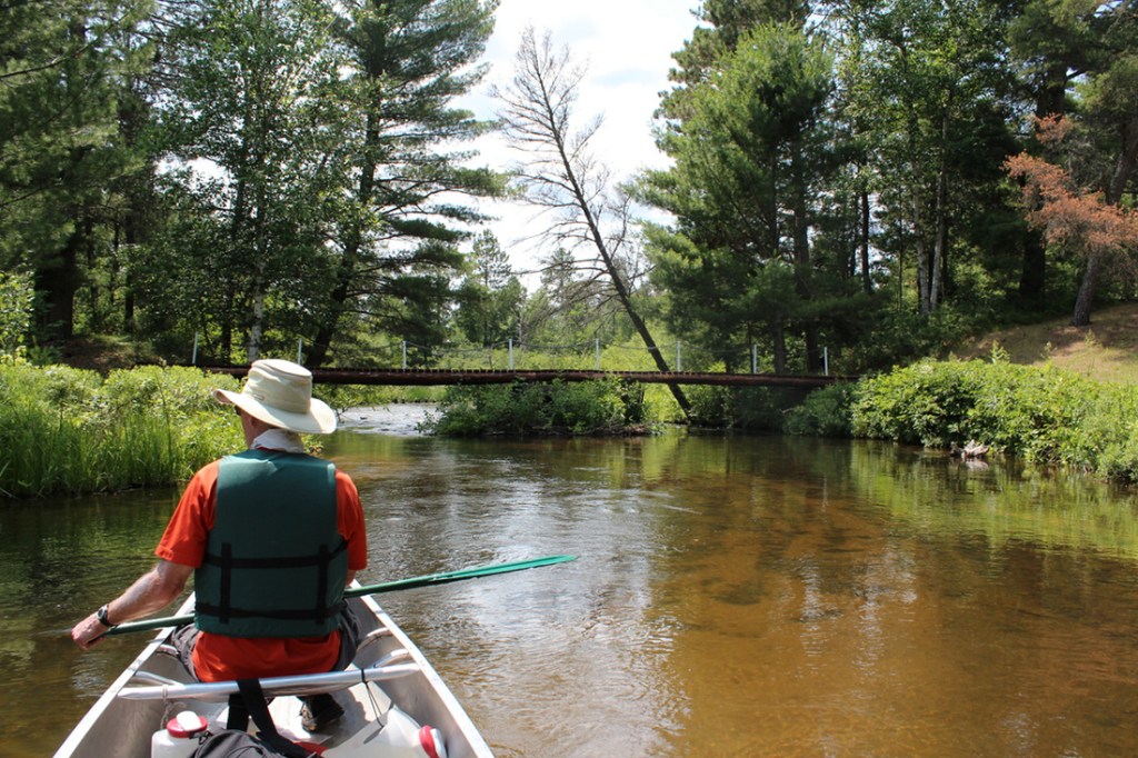
Description
There is a claim that all three Eau Claire Rivers in Wisconsin have at least some area of whitewater interest. This one is a tributary of the St.Croix River.
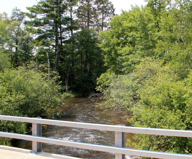
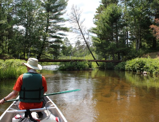
A run of 13.75 miles at 6 fpm average suggests this is a lot of flatwater (possibly with a few minor rapids thrown in).
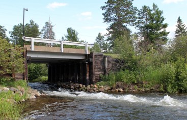
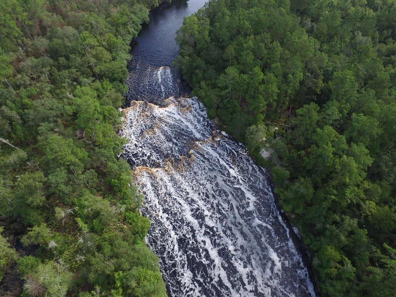
As noted in the 'River Features' section below, the (potentially) best true whitewater may be a park-and-play under a bridge to the Gordon Correctional Center.
Rapids in this Run (11)

Difficulty
Class I-II
Length
12.6 mi
Gradient
6 ft/mi
max 20
Rapids
11
Access Points
Difficulty Classes
I Easy
II Novice
III Intermediate
IV Advanced
V Expert/Extreme
VI Unrunnable
Current Conditions
5-Day Forecast
Whitewater data from
American Whitewater
American Whitewater