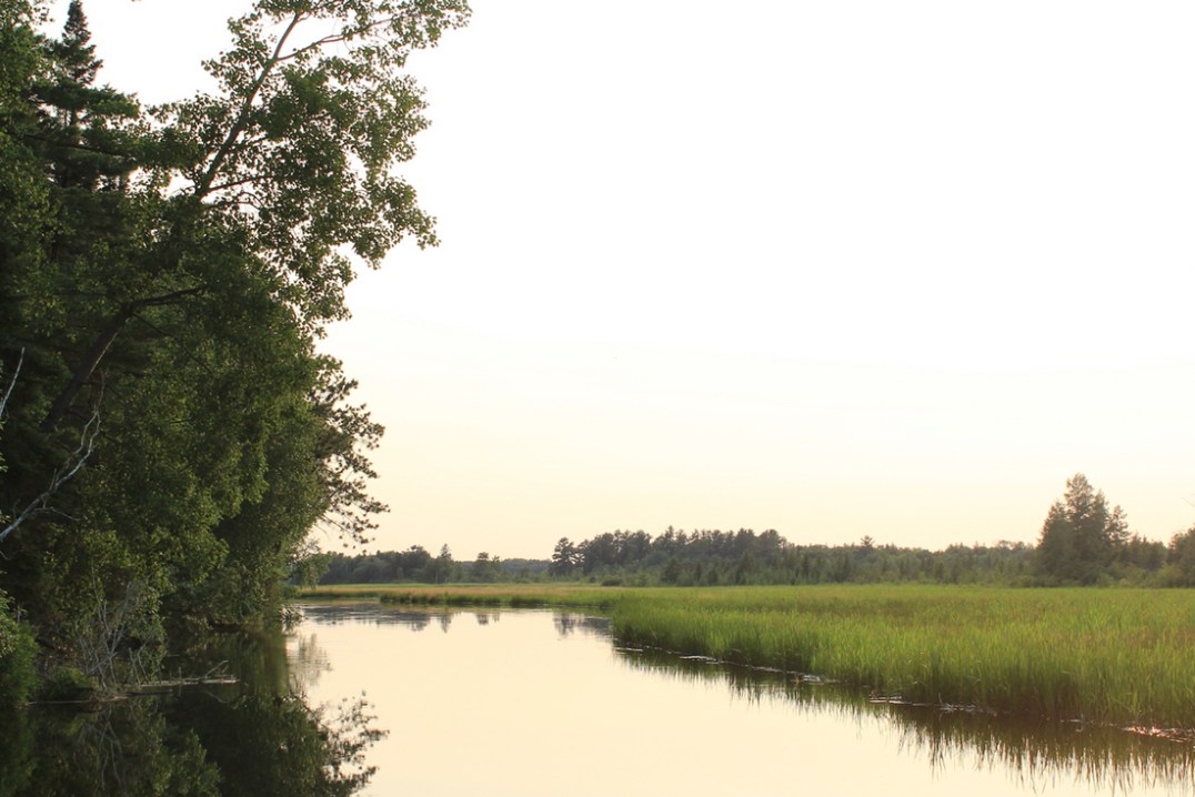
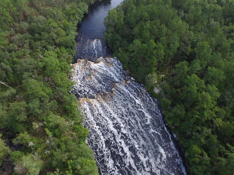
Former Dam Site
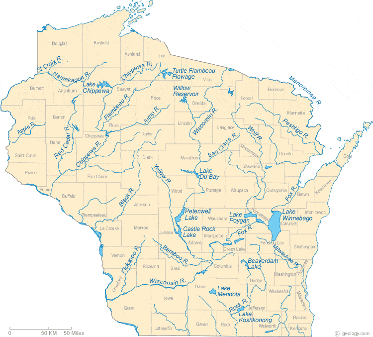
Eau Claire (St.Croix trib.) - Johnson Rd. to former dam site (1.75-13.5 miles) (WI)
Gauge Conditions
Approximate - nearest available gauge. Use as general reference only.
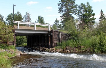
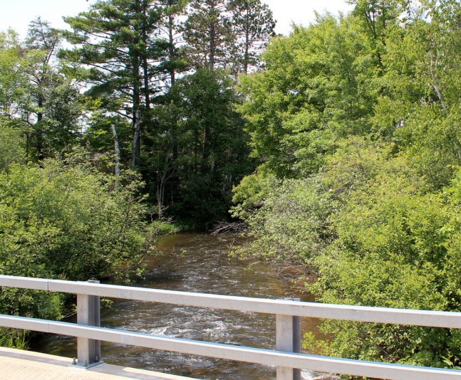
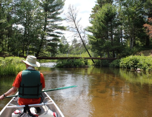
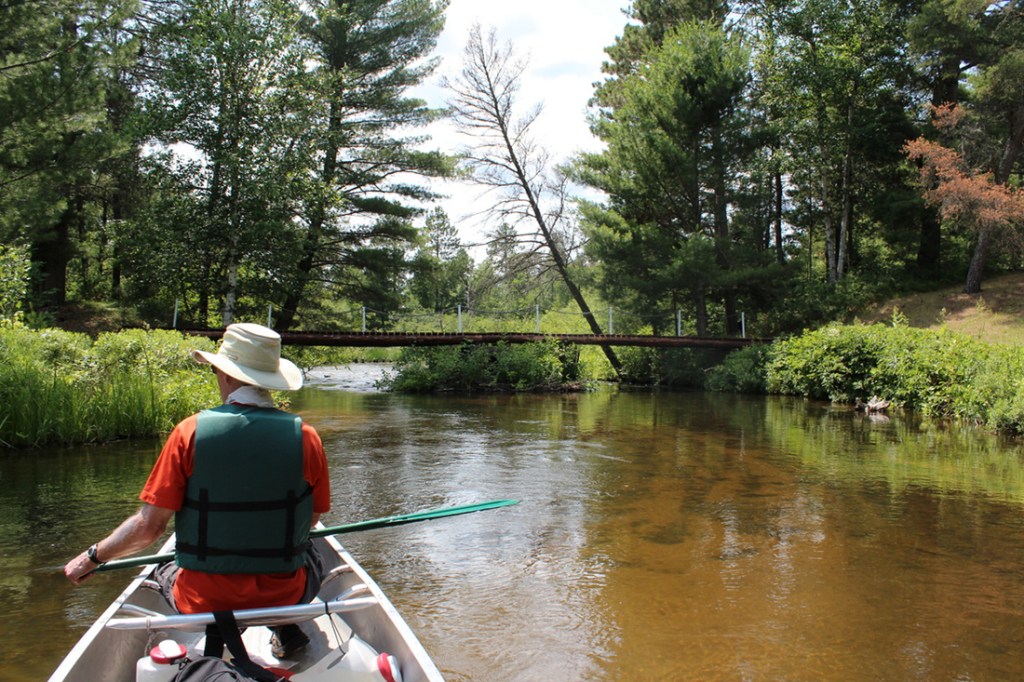
Photo

Description
Aerial/satellite views from May, 2017 showed machinery on-site (as part of the dam removal process), and there appeared to be a brief bit of ledges and waves. More recent aerial/satellite views (with the dam fully removed) show nothing at this site.
We have no awareness of access here (post-dam-removal). Land may have reverted to private property, which would preclude scouting here unless one got permission. Otherwise it would be necessary to continue about another mile downstream to CTH.Y (if parking and access appear possible at that location).
Has anyone taken a look at this in person? Got pictures? Help your fellow boaters with a comment or report! Is there anything worthwhile here or not?
Location
Other Rapids on This Run (13)
 Rapid
N/A
Rapid
N/A
 Rapid
N/A
Rapid
N/A
 Rapid
N/A
Rapid
N/A
 Rapid
N/A
Rapid
N/A
 Rapid
N/A
Rapid
N/A
 Rapid
N/A
Rapid
N/A
 Rapid
N/A
Rapid
N/A
 Rapid
N/A
Rapid
N/A
 Playspot
N/A
Playspot
N/A
 Rapid
N/A
Rapid
N/A
 Rapid
N/A
Rapid
N/A
 Rapid
N/A
Rapid
N/A
Current Conditions
5-Day Forecast
American Whitewater