Rapid
WI
minor riffles?
Eau Claire (St.Croix trib.) - Johnson Rd. to former dam site (1.75-13.5 miles) (WI)
Gauge Conditions
Runnable: ? – ? CFS
Approximate - nearest available gauge. Use as general reference only.
Data from American Whitewater & USGS
Description
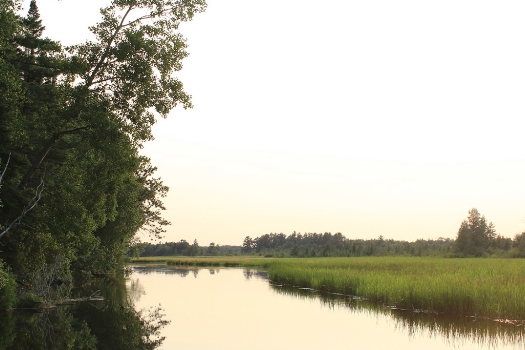
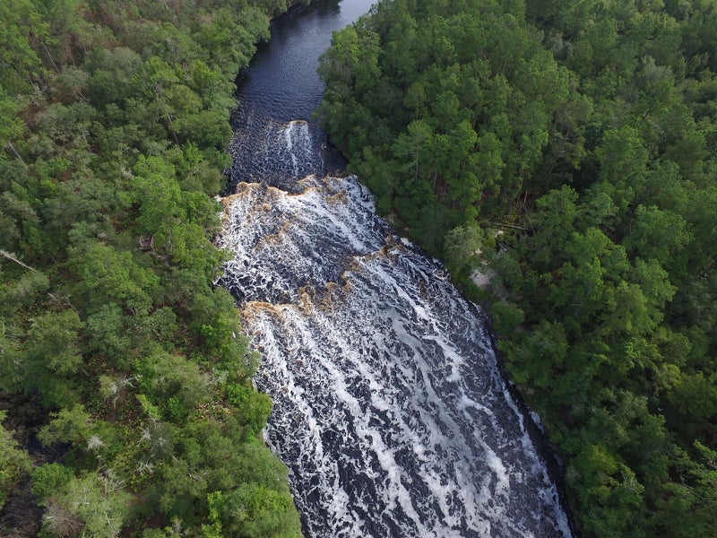
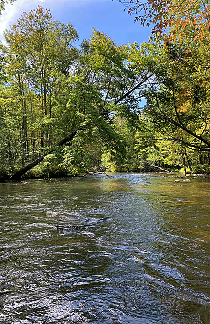
From the put-in, there is very little which can be seen (via online aerial/satellite photos as of 2017, anyway) to indicate any rapids, riffles or rips until this point. (Which is not to say there isn't or couldn't be, just that it is not evident.)
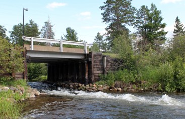
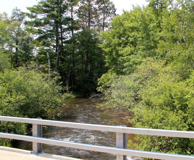
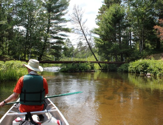
A minor rocky shoals appears at this point, just after one of many broad meanders, and after a small island. These appear to last about 2/10ths of a mile, and perhaps a bit beyond.
Location
Other Rapids on This Run (13)
 Rapid
N/A
Rapid
N/A
Drainage: ~37 sq.mi.
 Rapid
N/A
Rapid
N/A
Put In
 Rapid
N/A
Rapid
N/A
McCumber Road
 Rapid
N/A
Rapid
N/A
minor shoals/riffles?
 Rapid
N/A
Rapid
N/A
Shoals? Rips?
 Rapid
N/A
Rapid
N/A
S. Lidberg Bridge Road
 Rapid
N/A
Rapid
N/A
S.Lawler Bridge Road
 Rapid
N/A
Rapid
N/A
Islands/Braiding
 Playspot
N/A
Playspot
N/A
State Camp Bridge (Gordon Correctional Center)
 Rapid
N/A
Rapid
N/A
riffles? rips? Rapids?
 Rapid
N/A
Rapid
N/A
USGS sampling site: 140 sq.mi.
 Playspot
N/A
Playspot
N/A
Former Dam Site
 Rapid
N/A
Rapid
N/A
Alternate take-out
View Full Run
Johnson Rd. to former dam site (1.75-13.5 miles)
Eau Claire (St.Croix trib.)
I-II
12.6 mi
Current Conditions
5-Day Forecast
Whitewater data from
American Whitewater
American Whitewater