Metropolitan to Calumet Mine Road (5.77 miles)
Sturgeon, W.Br. (Menominee R. trib.)
Linked via: Nhdplus discovery 90% confidence Synced 6mo ago
Gauge Conditions
Runnable: ? – ? CFS
Approximate reading: This gauge is 12.6 miles away on Sturgeon. Use as a general reference only.
Data from American Whitewater & USGS
Run Map
Run Time Estimate
Select put-in and take-out to estimate time.
Unlock Advanced Trip Planning
See wind-adjusted speed maps, forecast planning, and detailed time estimates.
Sign in to generate an AI timing estimate for this run.
Whitewater timing varies with scouting, portages, and group pace. Use as a planning baseline.
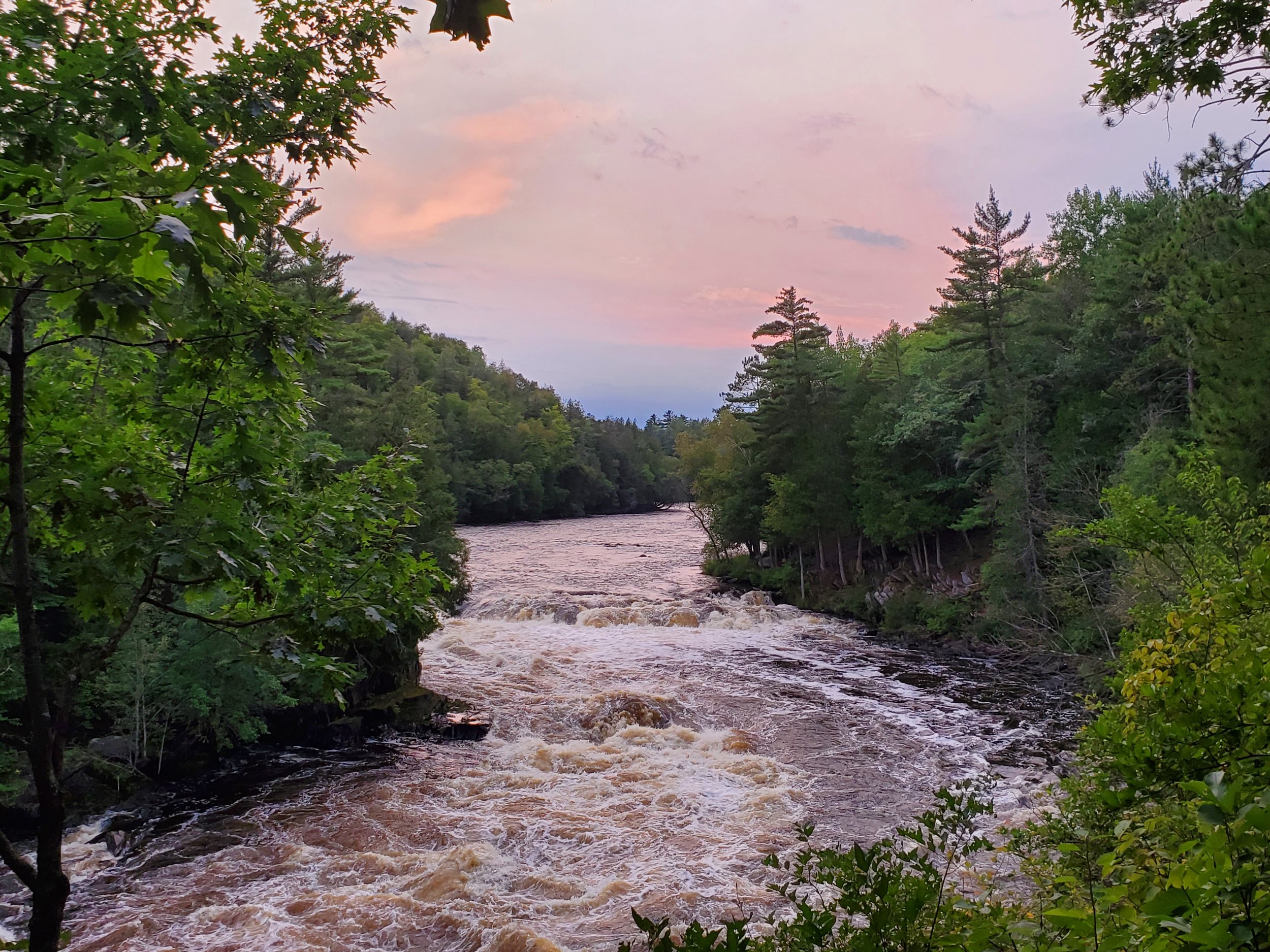
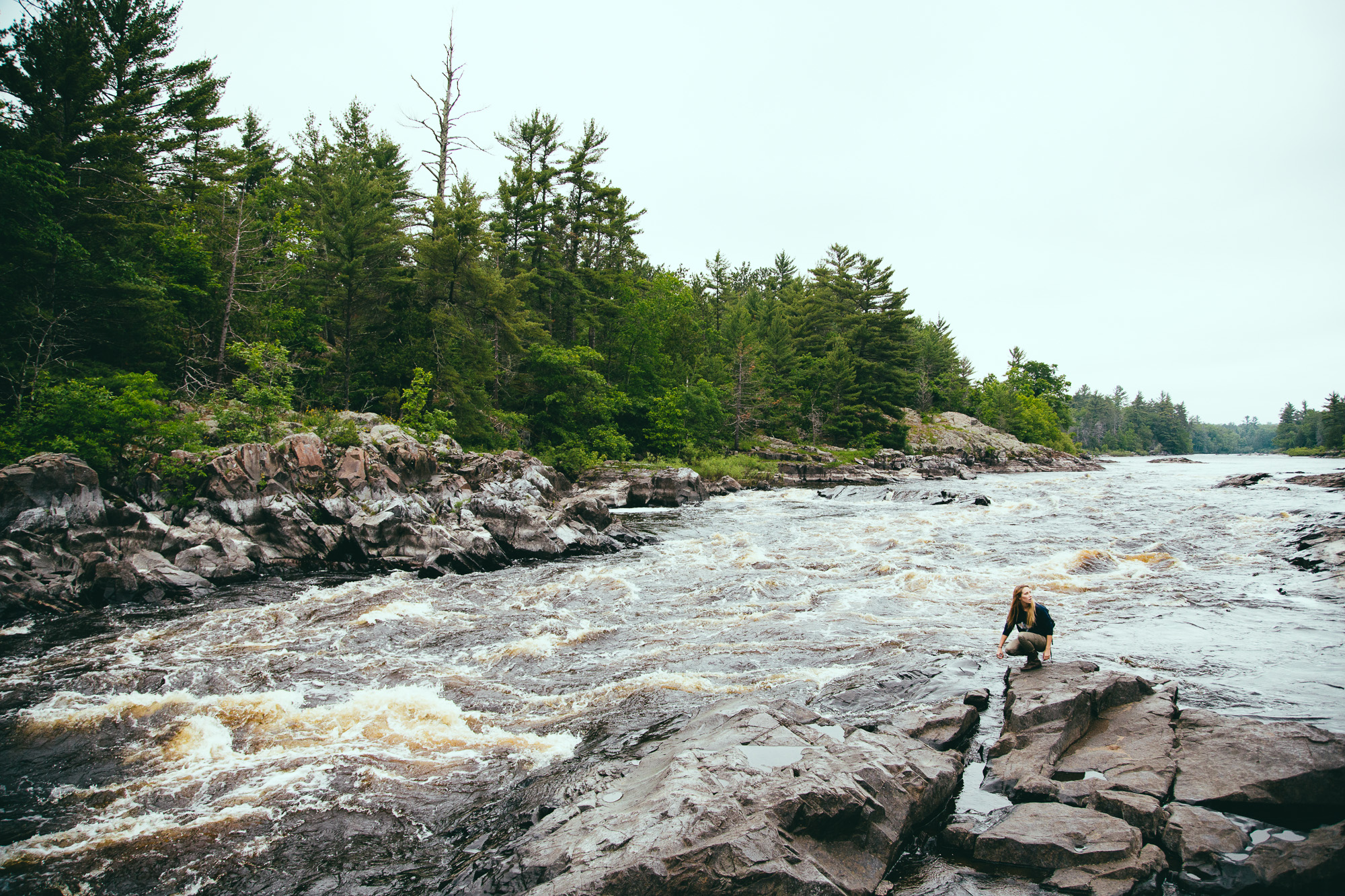
Description
Some interesting drops for anyone willing to paddle a wooded-up PITA reach. (If you do it once, you'll probably never feel the need to do it again.)
The one time we paddled this (April of 2001, at relative minimal flow) we ran a couple of drops, portaged a grungy drop, and had one section of a quarter-mile or so where it appeared a 'gust front' had blown down a whole swath of trees. We had a very cumbersome carry around, over, and through a total wooded-up mess, instream _and_ on shore!
Looking now at Google Maps, it appears there may be other roads for access. There was a nice spot or two of rapids somewhat later in our run. I can't recall (nor can I tell from topo or aerial shots) where those spots of rapids might be relative to the shown roads.
Rapids in this Run (6)
Difficulty
Class II-IV
Length
5.1 mi
Gradient
20 ft/mi
max 55
Rapids
6
Access Points
Difficulty Classes
I Easy
II Novice
III Intermediate
IV Advanced
V Expert/Extreme
VI Unrunnable
Current Conditions
5-Day Forecast
Whitewater data from
American Whitewater
American Whitewater