Lower Mill Pond Falls
Sturgeon, W.Br. (Menominee R. trib.) - Metropolitan to Calumet Mine Road (5.77 miles) (MI)
Gauge Conditions
Runnable: ? – ? CFS
Approximate - nearest available gauge. Use as general reference only.
Data from American Whitewater & USGS
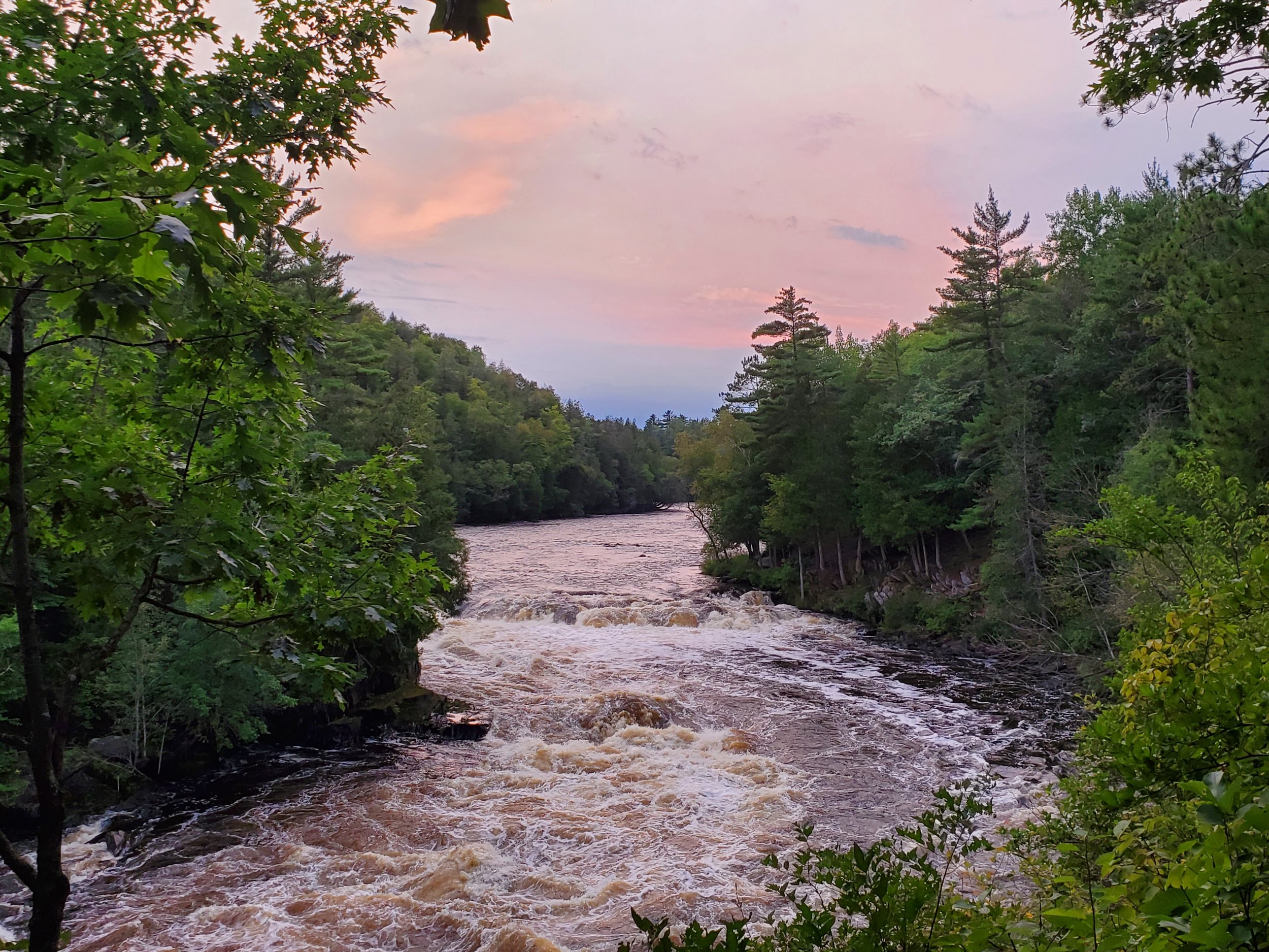
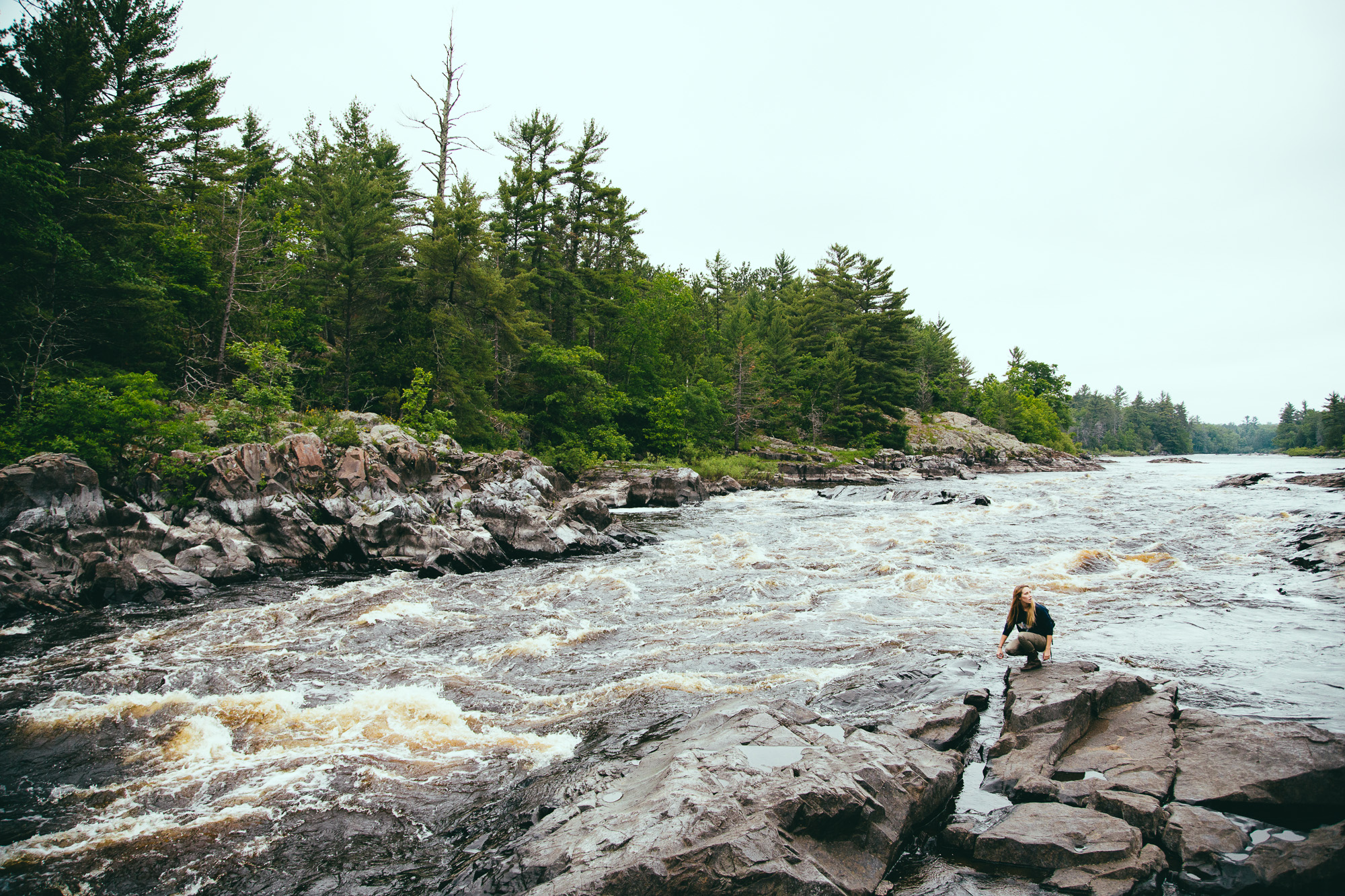
Photo
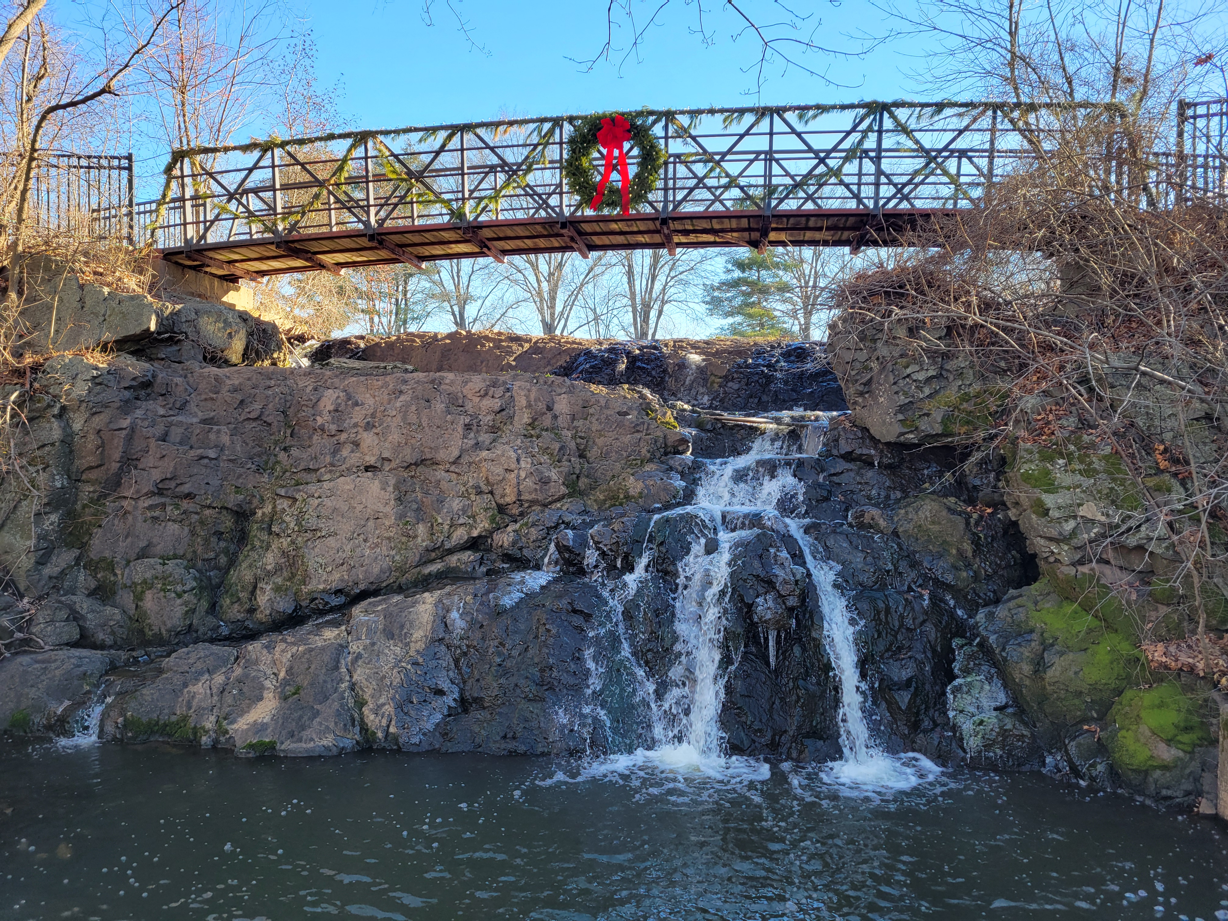
Photo courtesy of American Whitewater
Description
I believe this is the "grungy" falls mentioned in the main description. A pretty fair straightaway precedes an abrupt 90-degree right, where the river spills across splines of rock.
Location
Other Rapids on This Run (10)


View Full Run
Metropolitan to Calumet Mine Road (5.77 miles)
Sturgeon, W.Br. (Menominee R. trib.)
II-IV
5.1 mi
Current Conditions
5-Day Forecast
Whitewater data from
American Whitewater
American Whitewater